NAMIBIA, VICTORIA FALLS & BOTSWANA (OKAVANGO DELTA) Safari
Leave a reply
Itinerary
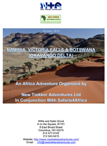
October 2019
NAMIBIA, VICTORIA FALLS & BOTSWANA (OKAVANGO DELTA)
An Africa Adventure Organized by
New Trekker Adventures Ltd
In Conjunction With Safaris4Africa
Willie and Katie Grové
8 on the Square, #1701
8 East Broad Street
Columbus, OH 43215
614 477-0105
312 543-5410
Website: http://www.newtrekkeradventures.com/
Email: info@newtrekkeradventures.com
“… Life is not about how many breaths you take, it is about how many moments take your breath away…â€
NAMIBIA, VICTORIA FALLS & BOTSWANA (OKAVANGO DELTA)
Duration:
22 Days / 21 Nights in Namibia
2 Nights in South Africa (Kempton park and Johannesburg)
Total trip including travel days, 25 days, 24 nights
Dates:
09/30/2019 – 10/25/2019
Number of persons:
6
Accommodation:
Vehicle Hire:
Includes – contract fee / unlimited km / maximum insurance cover / cross border permit / multiple drivers & cleaning fees.
Flights:
Accomodation and Meals:
(B –
Breakfast, L – Lunch, D – Dinner)
NAMIBIA, VICTORIA FALLS & BOTSWANA (OKAVANGO DELTA)
Day 0: September 30, 2019 Monday
Travel to South Africa
Grov̩ and Yunker: Columbus to Atlanta: Delta 1193 РDepart 2:20 PM, Arrive 3:59 PM Monday, Sept. 30
Haag: Denver to Atlanta: Delta 1554 – Depart 11:44 AM, Arrive 4:33 PM Monday, September 30
Group
Atlanta to Johannesburg: Delta 200 – Depart 8:08 PM, Arrive 5:35 PM, Tuesday Oct. 1
Day 00 October 1, Tuesday
Arrive in Johannesburg. We are met by a Safari4Africa representative for transfer to our accommodation for the night, Journey’s Inn Africa Guest Lodge, 20 minutes from Johannesburg International (O.R. Tambo). Journey’s Inn and Safaris4Africa are owned by our friends, Laurence and Alida Marks.
After freshening up we are taken to José’s, our favorite restaurant for Prawn Peri-peri.
Day 1: October 2, Wednesday
A leisurely breakfast Journey’s Inn and recovery from the flight we are taken to the airport for our flight to Windhoek, Namibia. We will be sure to pick up a supply of biskuit (rusks) from the hair salon on the way to the airport! (We can explain later…)
Air Namibia 726. Depart 11:10 AM, arrive 1:15 PM
Upon arrival in Namibia our Safari4Africa/Bushlore (vehicle hire agency) representative will be at the Windhoek Airport to meet us and hand over our travel documents (vouchers). We collect our rental vehicles at the airport, which is situated about 45 km north east of the city centre. (Please check the vehicles properly with the Bushlore representative). We will check in to Casa Piccolo and then explore the city, including doing some provisioning. Windhoek is a charming city with a blend of African and European cultures. Much of the architecture has been influenced by German occupation dating back between 1884 and 1914. Our recommended restaurant for tonight is the famous Joe’s Beerhouse. I have made reservations for us.
Accommodation: *** (B) Overnight in Windhoek at Casa Piccolo
Bushlore reservation number: c03/15/11/18
Contact: +27 (0) 11 312 8084
Contact person: Clyde Tait
Directions:
As we drive out ofWindhoek Hosea Kutako International Airport we turn right and follow the road signs on to the B6 towards Windhoek, the city is about 42 km from the airport. As we arrive on the outskirts of the city we will come to a T-junction, turn right onto Sam Nujoma Drive. Drive through the suburb called “Klein Windhoek”. At Nelson Mandela Avenue we turn right and then right again at the 3rd street (Barella Street) where we will find our lodge / guesthouse on the left.
(Driving time, collection of our 4 x 4 vehicle and visiting the various attractions in the city ± 4 hours)
Daily – distance to travel: ± 45 km
Accommodation: Casa Piccolo Lodge / Guesthouse *** (B)
Reservation number: 20970
Contact: +264 612 21155
Contact person: Claudia Horn
Windhoek
Windhoek (pronunciation: /ˈvÉ™ntɦuËk/, from Afrikaans meaning Windy Corner) is the capital and largest city of the Republic of Namibia. It is located in central Namibia in the Khomas Highland plateau area, at around 5,600 ft above sea level, almost exactly at the country’s geographical centre. The population of Windhoek in 2011 was 325,858, growing continually due to an influx from all over Namibia.
The city developed at the site of a permanent hot spring known to the indigenous pastoral communities. It developed rapidly after Jonker Afrikaner, Captain of the Orlam, (a subtribe of the Nama) settled here in 1840 and built a stone church for his community. In the decades following, multiple wars and armed hostilities resulted in the neglect and destruction of the new settlement. Windhoek was founded a second time in 1890 by Imperial German Army Major Curt von François, when the territory was colonized by the German Empire.
Windhoek is the social, economic, political, and cultural centre of the country. Nearly every Namibian national enterprise, governmental body, educational and cultural institution is headquartered there.
PLANNING:
IMPORTANT:
Day 2 & 3: October 3, 4, Thursday and Friday
We travel south via the small town of Keetmanshoop to the Fish River Canyon, visit on route the Kokerboom/Quiver Tree Forest and Giant’s Play Ground. The next day we get to visit the Fish River Canyon, which is the second largest of its kind in the world. There are various viewpoints along the lip of the canyon that one can visit. We overnight near the Fish River Canyon in Central Lodge.
Directions:
Depart Windhoek at about 07h30 and drive towards Rehoboth / Kalkrand on road- B1. Return to Nelson Mandela Avenue, turn left and drive 1.3 km. Turn right onto Jan Jonker Road and drive 1.2 km before taking a slight left, drive 350 m and continue onto Robert Mugabe Avenue. Drive 2.1 km, then at the roundabout we take the “2nd Exitâ€. Drive 600 m, then at the roundabout we take the “3rd Exit†onto Sean McBride. Drive 1 km and then turn left onto Frankie Fredericks Street. Drive 2.1 km and then we take a slight left toward Rehoboth Road / B1. Drive straight through both the small towns of Rehoboth / Kalkrand towards the town of Mariental and then onto Keetmanshoop. Enjoy lunch on route. Just before we get to Keetmanshoop, we turn left onto the C16 and the left again onto the C17. Follow the road sign and drive ± 16 km to the “Kokerboom (Quivertree) Forest†and then onto “Giant’s Play Groundâ€. After our visit, we return to the main road / B1, turn left and drive 167 km to the village of Grunau where we continue straight on the B1. After 31 km we turn right onto the C10 and drive 73 km to our lodge.
(Driving time with visits and lunch ± 10 ½ hours)
Daily – distance to travel: ± 760 km
Accommodation: Ai-Ais Hotspring Spa / Lodge *** (B)
Reservation number: 64460
Contact: +264 61 285 7200
Contact person: Madeleine Cronje
OUR PLANNING:
The Quiver Tree Forest holds tremendous ecological value within its native landscape. Bright yellow flowers bloom from June to July, when a huge variety of insects, birds, and mammals are drawn to the abundant nectar.
Near the forest, there is another site of natural interest (itself a tourist attraction) for its geology, the Giant’s Playground, a vast pile of large dolerite rocks.
Keetmanshoop
Keetman’s Hope in the ÇKaras Region of southern Namibia, lying on the Trans-Namib Railway from Windhoek to Upington in South Africa. It is named after Johann Keetman, a German industrialist and benefactor of the city.
The town is situated in a semi-arid area, normally receiving an annual average rainfall of only 152 millimeters (6.0 in), although in the 2010/2011 rainy season 254 millimeters (10.0 in) were measured.[3]
Before the colonial era, the settlement was known as Ç‚NuÇ‚goaes or Swartmodder, both of which mean “Black Marsh” and indicated the presence of a spring in the area. The first white settler, Guilliam Visagie, arrived here in 1785. In February 1850 the Kharoǃoan clan (Keetmanshoop Nama) split from the Red Nation, the main subtribe of the Nama people, and settled permanently here. In 1860 the Rhenish Missionary Society founded a mission there to Christianize the local Nama. The first missionary, Johann Georg Schröder, arrived in Keetmanshoop on April 14, 1866, which is now marked as the founding date of Keetmanshoop. The mission station was named after the German trader and director of the Rhenish Missionary Society Johann Keetman who supported the mission financially. He never actually visited the place himself.
The Rhenish Missionary Church was erected in 1895. It now also contains a museum. It was declared a historic monument in 1978 and is a well-known landmark. Its unique combination of Gothic architecture cast in African stone makes it one of the architectural masterpieces in the country and a popular tourist attraction. Other notable buildings are the Schützenhaus (marksmen’s club house, 1905–07), the railway station building (1908) and the Imperial Post Office (now the Keetmanshoop tourist information, erected in 1910).
The town is situated near two quiver tree forests, one of them being a national monument and a major tourist attraction of Namibia. The quiver tree, loidendron dichotomum, or kokerboom, is a tall, branching species of succulent plant, indigenous to Southern Africa, specifically in the Northern Cape region of South Africa, and parts of Southern Namibia.
Keetmanshoop is also an important center of the Karakul sheep farming community.
The Fish River Canyon
Fish River Canyon is the second largest of its kind in the world. There are various viewpoints along the lip of the canyon that one can visit. It is the largest canyon in Africa, as well as the second most visited tourist attraction in Namibia.[2] It features a gigantic ravine, in total about 100 miles long, up to 17 miles wide and in places more than 1,800 ft. deep.
The Fish River is the longest river in Namibia. It cuts deep into the plateau, which is today dry, stony and sparsely covered with hardy drought-resistant plants. The river flows intermittently, usually flooding in late summer; the rest of the year it becomes a chain of long narrow pools. At the lower end of the Fish River Canyon, the hot springs resort of Ai-Ais.
Day 4 & 5: October 5, 6, Saturday and Sunday
Itinerary: Depart by 7 AM.
Leaving the canyon behind, we continue north into the true Namib Desert with its continually shifting barchans’ dunes, barren landscape and an awe-inspiring sense of space. With our own 4 x 4 Toyota Cruisers, we can depart early from our lodge and drive to Sossusvlei to watch a dramatic sunrise over the world’s largest dunes and then walk the awesome Sossusvlei dunes, visit Dead Valley and Sesriem Canyon. If we would like to do the “hot air balloon flightâ€, then I would suggest we do this activity in the morning and “Sossusvlei dunes, Dead Valley and Sesriem Canyon†after lunch when it is not so hot.
Directions:
Return to the C10 and drive about 23 km back towards Grunau, turn left onto C37 / D324 and drive ± 42 km. Turn right onto D601 and drive about 30 km before turning left onto C12 / M28.
Next day – Find out at the lodge the opening times for the gate at Sossusvlei, as they do change the times throughout the year. Depart at least 75 minutes before the opening time to be at Sesriem / Sossusvlei when the gates open, as this is the best time to experience Sossusvlei (as early as possible). Return to road – C19, turn left and drive ± 50 km before we turn right onto the D826. Drive about 12 km to the village of Sesriem (Gate to Sossusvlei National Park).We will find the entrance gate to the park on the right. Return after our visit to Moon Mountain Lodge
(Day 4 – Driving time to with stops & lunch ± 10 hours / Day 5 – Driving time, lunch & touring ± 8 hours )
Daily – distance to travel: Day 4 ± 640 km / Day 5 ± 200 km
Accommodation: Moon Mountain Luxury Tented Lodge **** (B & D)
Reservation number: 190783
Contact: +264 672 40901
Contact person: Paula Amwaandangi
PLANNING:
Day 6: October 7, Monday
Itinerary: Travel via the “Kuiseb Canyon†and Walvis Bay to Swakopmund, a coastal town surrounded by lunar landscapes and the prehistoric Welwitchia plants. Enjoy lunch at one of the numerous restaurants along the waterfront in Walvis Bay or in Swakopmund. We have the afternoon at leisure in Swakopmund with its beautiful beaches, market places, curio shops, restaurants, etc.
Evening at leisure. Dinner can be enjoyed at anyone of a number of good restaurants found in town, which are all within safe walking distance from our hotel. However, Pre-booked at the The Tug Restaurant.
Overnight in Swakopmund.
Evening at leisure. Lunch and dinner can be enjoyed at any one of a number of good restaurants found in town, which are all within safe walking distance from our hotel. Overnight in Swakopmund.
Accommodation: Hansa Hotel **** (B
Directions:
Depart no later than 08h00. As we leave our lodge, we turn right onto road – C19, drive about 30 km to Solitaire (fill up with fuel). At the T-junction at Solitaire, we turn left onto the C14 and drive another ± 230 km to Walvis Bay. After lunch, follow the road signs onto the B2 and drive about 32 km to Swakopmund, as we arrive in town we turn left onto Woermann Street and then right at the “1st Cross Street†onto Hendrik Witbooi Street where we will then find our hotel down this road on the left.
(Driving time with stops ± 4 ½ hours)
Daily – distance to travel: ± 300 km
Accommodation: Hansa Hotel **** (B)
Reservation number: 809003
Contact: +264 64 41 4200
Contact person: Maike Lohmann
PLANNING:
Welwitschia Mirabilis
The Welwitschia Mirabilis is a plant which is endemic to the Namib desert in Namibia and Southern Angola. Named after Friedrich Welwitschia who “discovered” the plant in 1859, some of the specimen are estimated to be between 1000 and 1500 years old.
Welwitschia occurs in an area of the Namib Desert that stretches over 1200 km from southern Angola to the mouth of the Kuiseb River. It does not grow directly at the coast, having its most dense occurrence about 50 to 60 km away from the Atlantic.
Apart from a dense network of roots close to the ground surface with a diameter of up to 30 meters the Welwitschia also has a taproot that is able to reach groundwater provided that it is at about 3 meters deep. Most of the water however is taken up by the fine network of roots. Water is provided in the form of dew (fog) as rain is an absolute exception. The assumption that the Welwitschia is able to take up water through the leaves is wrong. The leaves are arranged in such a way that they are well capable of storing water. As the seeds take a while to form sufficient roots to be able to germinate many of them don’t survive. Botanists have found that only about 0.1% of the seeds produced manage to germinate. Welwitschia has female and male specimens, pollination takes place with the help of insects.
The plant was discovered by and named after the Austrian botanist Friedrich Welwitschia in Angola in 1859. Of course, the local population had known this plant for much longer and had named it differently. In Angola it is called n’tumbo (stump), the Herero name it onyanga (desert onion) and in Afrikaans it is called “twee-blaar-kanniedood†(two-leave-can’t-die). This is an apt description, as it describes two characteristics of the Welwitschia: its durability as a desert plant and the fact that it only has two leaves. These two leaves grow continuously.
A famous specimen is found close to Swakopmund. This specific plant is estimated to be at least 1000 years old some even claim it to be 1500 years old. The exact age is not known. One could establish the age more accurately, as the stem of the plant, which can reach a diameter of 1 meter, has annual rings.
Day 7: October 8, Tuesday
A morning at leisure, before driving up the coast to Cape Cross for a visit to one of the largest Cape fur seal breeding colonies in southern Africa (a bit smelly but interesting!!!) and to see the Diego Câo Cross indicating where this first European (Portuguese) explorer landed in Namibia during his voyage in 1486. Afternoon & evening at leisure.
Accommodation: Cape Cross Hotel **** (D & B) – Sea View
The Portuguese navigator and explorer Diogo Cão was in 1484 ordered by King João II, as part of the search for a sea route to India and the Spice Islands, to advance south into undiscovered regions along the west coast of Africa. While doing so, he was to choose some particularly salient points and claim them for Portugal by setting up on each a stone cross called padrão.
| Cape Cross Lodge |
During his first voyage, thought to have taken place in 1482, he reached a place he called Monte Negro, now called Cabo de Santa Maria, roughly 150 km southwest of today’s Benguela, Angola.
During his second voyage, in 1484–1486, Cão reached Cape Cross in January 1486, being the first European to visit this area. During this voyage he proceeded c. 1,400 km farther than during the first one. He is known to have erected two padrãos in the areas beyond his first voyage, one in Monte Negro, and the second at Cape Cross. The current name of the place is derived from this padrão. What can today be found at Cape Cross are two replicas of that first cross.
Cão’s first expedition took place only six years, and the second expedition’s end only two years before Bartholomeus Dias successfully rounded the Cape of Good Hope as the first European explorer in 1488.
Padrão (Cross)
The original Cape Cross padrão was removed in 1893 by Corvette captain Gottlieb Becker, commander of the SMS Falke of the German Navy, and taken to Berlin. A simple wooden cross was put in its place. The wooden cross was replaced two years later by a stone replica.
At the end of the 20th century, thanks to private donations, another cross, more similar to the original one, was erected at Cape Cross, and thus there are now two crosses there.
The inscription on the padrão reads, in English translation:
| “In the year 6685 after the creation of the world and 1485 after the birth of Christ, the brilliant, far-sighted King John II of Portugal ordered Diogo Cão, knight of his court, to discover this land and to erect this padrão hereâ€. |
Day 8 & 9: October 9, 10, Wednesday and Thursday
Travel up and across the “Skeleton Coast†and the Skeleton Coast National Park to the southern Kunene region, an area formerly known as Damaraland. This entire region is one of the remotest areas on earth (if we look at people per km², then Namibia is also known as one of the least populated countries in the world). Damaraland also has unique landscapes with its unusual mountain and rock formations. The next day we can visit various attractions that are scattered around the area, sites such as: “The White Lady†paintings in the Brandberg Mountains, “Twyfelfontein Rock Engravingsâ€, Burnt Mountain and the “Petrified Forestâ€. This is an area where Khoikhoi (Bushmen) left their life stories in the form of paintings and drawings on the rocks. This art that dates back thousands of years can be viewed on a number of different guided walks / tours. Overnight near Twyfelfontein / Brandberg.
Accommodation: Brandberg White Lady Lodge *** (D & B)
Directions:
As we depart our hotel we turn right onto C34 / D2301 and drive 45 km towards Henties Bay, then turn left onto C35 / M76. Drive 115 km towards the village of Uis. Just before town we turn left to stay on C35 / M76. Drive about 11 km and take road – D2359 to the left. Drive 3.3 km then turn left again to stay on the D2359. Drive ± 13 km then turn right towards our lodge (If we carried on straight on the D2359 we will arrive at the gate / parking area for “The White Lady†paintings in the Brandberg Mountains). Continue on the road towards the lodge for about 8 km, then turn left, drive another ± 1.5 km to our destination.
(Driving time with visits and lunch ± 3 hours)
Daily – distance to travel: ± 200 km
Accommodation: Brandberg White Lady *** (B & D)
Reservation number: 15196
Contact: +264 64 68 4004
Contact person: Patricia Awaras
Brandberg White Lady Lodge is a rustic lodge situated in the Damaraland (Tsiseb Conservancy) about 2 km from Namibia’s highest mountain the Brandberg. The main building is built with natural materials from the surrounding area with a thatched roof. All accommodation is widely spread out on the bank of the Ugab River, ensuring a quiet, tranquil and relaxed stay. We are an eco-friendly lodge running on solar power. The rooms have fans and electrical points. Other guests are welcome to charge electrical devices at the main building. Even though we experience high temperatures during most of the year, our guests can come and relax at our two well maintained swimming pools and lush green garden. We offer an English breakfast and for dinner a nice home cooked 3 course meal.
The Brandberg is a significant spiritual site to the San (Bushman) tribes. In the Tsisab Ravine at the foot of the mountain, there are more than 1000 rock shelters, with more than 45 000 rock paintings. The most well-known of the rock paintings is The White Lady, which is a major tourist attraction at Brandberg.
The subject in this iconic painting has been the source of controversy for quite some time. From analogies to paintings of athletes in Crete, travelers from the Mediterranean area, as well as being Phoenician in origin. The commonly accepted explanation of the painting is as follows:
It is usually assumed that the painting shows some sort of ritual dance, and that the “White Lady†is actually a medicine man. She has white legs and arms, which may suggest that his body was painted or that he was wearing some sort of decorative attachments on his legs and arms. He holds a bow in one hand and perhaps a goblet in the other. Because of the bow and the oryxes, the painting has also been interpreted as a hunting scene.
Twyfelfontein
Twyfelfontein (Doubtful Spring), at the head of the grassy Aba Huab Valley, is one of the most extensive rock-art galleries on the continent. In the ancient past, this perennial spring most likely attracted wildlife, creating a paradise for the hunters who eventually left their marks on the surrounding rocks. Animals, animal tracks and geometric designs are well represented here, though there are surprisingly few human figures.
Many of the engravings depict animals that are no longer found in the area – elephants, rhinos, giraffes and lions – and an engraving of a sea lion indicates contact with the coast more than 100km away. To date over 2500 engravings have been discovered, and Twyfelfontein became a national monument in 1952. Unfortunately, the site did not receive formal protection until 1986, when it was designated a natural reserve. In the interim, many petroglyphs were damaged by vandals, and some were even removed altogether.
A significant amount of restoration work has taken place here in recent years, a welcome development that hasn’t gone unnoticed by the international community. In 2007 Twyfelfontein was declared a Unesco World Heritage Site, the first such distinction in the whole of Namibia.
Guides are compulsory; note that tips are their only source of income.
Day 10 & 11: October 11, 12, Friday and Saturday
Depart early after breakfast and then drive east to Otjiwarongo for a visit to the world renowned “Cheetah Conservation Fund†centre. Arrive in time for lunch. Spend the next two days at this ecotourism destination, which provides informative and memorable experiences for travelers whether they visit us for a day, or stay overnight in the guest house accommodations. Overnight on the reserve.
Accommodation: Cheetah Conservation Fund
(Driving time ± 4 hours)
Daily – distance to travel: ± 290 km
Accommodation: Own Arrangement
Reservation number: –
Contact: –
Contact person: –
Cheetah Ecolodge is located at the Cheetah Conservation Fund (CCF) in Otjiwarongo, Namibia. The country has earned the nickname “Cheetah Capital of the World†for having the greatest density of wild cheetah of any place on Earth, thanks to CCF’s Founder and Executive Director Dr. Laurie Marker and the efforts of CCF staff and volunteers. Dr. Marker relocated to Namibia from the United States of America in 1990, and built CCF into a world-class scientific research facility with an education center and lodgings.
Her first visit to Namibia in 1977 was an eye-opening experience, as she witnessed the widespread killing of cheetahs. Considered vermin by local farmers, the cheetah was being killed by the hundreds. Dr. Marker decided to take action, combining her background in farming with her experience working with cheetahs at both Wildlife Safari in Oregon and The Smithsonian National Zoo in Washington, DC, she began reaching out to local farmers building relationships and teaching predator friendly farming techniques.
CCF’s annual impact on the local Namibian economy is projected to top US$7.3 million in 2017, measured by increased tourism, educational opportunities and job creation. Due to Dr. Marker and CCF’s influence, Namibia now proudly claims Otjiwarongo as “Cheetah Capital of the World†and recognizes the economic value in having healthy, thriving wildlife on its lands.
Day 12: October 13, Sunday
Itinerary: Drive to the wonderful Etosha National Park, one of the famous parks in Southern Africa. Enter the park through the western side – Galton Gate or maybe better Andersson Gate to the south. Spend the rest of the afternoon in the park. Overnight at the wonderful Dolomite Camp / Lodge in Etosha situated up on the hills overlooking the plains teeming with wild game. Overnight in the park.
Directions:
Drive along road – B1 to the town of Outjo and then the C38 / B1 to the village of Ombika / Andersson Gate – Etosha National Park. Although we can enter the park to the west through Galton Gate, it might be best to get to the park as early as possible and then drive through the park to the western region while we enjoy some game viewing. Draw up our own route in Etosha to Dolomite Camp. Find out about night drives, bushbraais (barbeques) and day walks at each camp.
(Driving time with game viewing and lunch ± 12 hours)
Daily – distance to travel: ± 200 km
Accommodation: Etosha National Park – Dolomite Lodge **** (B)
Reservation number: 63986
Contact: +264 61 285 7200
Contact person: Anny Halwoodi
IMPORTANT:
PLANNING:
Etosha’s new and exclusive Dolomite Camp opens up the restricted western side of the park to a limited number of visitors. Guests are accommodated in permanent luxury tents with an elevated view of the endless plains of Etosha National Park in Namibia. The wildlife has developed without human disturbance and rare species such as black rhino and black-faced impala have established themselves in the area. The area is rich in waterholes that attract elephant, rhino, leopard, lion, springbok, gemsbok and red hartebeest. The birdlife is prolific and the seasonal flowers of Dolomite Hill are a highlight for botanists.
Dolomite’s guests have access to western Etosha trough Galton Gate. Perched on the top of a little hill Dolomite Camp offers sublime view to complement the luxuriously appointed camp. The camp is unfenced allowing animals to roam freely between the tents and communal area. However, with personal escorts our safety is guaranteed at all times. The restaurant serves delicious and satisfying meals and the personnel will always greet one with a smile. A rim-flow swimming pool, a curio shop and a viewing deck overlooking a prolific waterhole provide entertainment during the day, while the bar area is ideal to relax and socialize with other guests.
Game drives in the area allow for exclusive game viewings as the area is still restricted. Experienced and knowledgeable guides will take us through this pristine area and the many waterholes offer high chances of spotting a diversity of wildlife.
Day 13: October 14, Monday
Itinerary: Spend another day in Etosha in search of the endangered black rhino, the magnificent Kalahari lion, elephant, leopard and a host of other wonderful animals, birds & creatures. Overnight in the park.
Directions:
Draw up our own route in the Etosha NP.
(Driving time? Up to us! )
Daily – distance to travel: ?
Accommodation: Etosha National Park – Halali Camp **** (B)
Reservation number: 63959
Contact: +264 61 285 7200
Contact person: Anny Halwoodi
Etosha National Park boasts numerous waterholes, including both natural springs and fountains and others fed by man-made bore holes. Some of the camps in the park offer the unique experience of floodlit waterholes for night-time viewing. Overall, these various waterholes tend to offer the park’s best opportunities for both big and small game sightings, especially during the dry winter months, when more animals are drawn out of hiding to drink at the water’s edge.
However, each waterhole has its own unique personality and the animals that can be spotted at certain waterholes may vary from, even from season to season. Here is a brief overview of the best of the bunch.
Okaukuejo Waterhole is right next to the Okaukeujo rest camp. It is floodlit and draws black rhino almost every night as well as numerous elephants, especially between June and December. This is considered by many to be the best place in Africa to see the endangered and solitary-natured black rhino.
Okondeka is among the best for lion sightings, and the predators can often be found with kill here. This waterhole is a natural fountain and is situated right on the edge of the west side of the salt pan, a little way North of Okaukuejo.
For the shy and elusive leopard, Halali and Goas are probably the best bets, both of which lie roughly mid-way between the southern Andersson Gate and the Von Lindquist Gate on the eastern edge of the pan. The oasis-like natural spring at Goas is also a favourite for bird species, black-faced impala and elephants. There tends to be large numbers of wildebeest and zebra too. The man-made Halali is situated next to the Halali rest camp.
The scenic Sueda and Salvadora offer stunning vistas of the pan stretching away to the northern horizon behind them and are also good spots for cheetah sightings. Nearby Rietfontein is one of the larger holes and another regular hang-out for lions.
It’s always worth remembering though that the best waterholes to visit can change on a daily and even hourly basis, and that often it merely comes down to a combination of luck of the draw and patience. Finding a good position, switching off the engine and waiting for something to happen will often yield rewarding results at any of the park’s numerous waterholes. Guides and park and camp staff should be able to give us much more information on seasonal variations and on where we might be able to see the broadest certain animals on a particular day or at a particular time. Many of the camps also have a visitors’ book with a few helpful hints from those who have passed through recently.
Day 14: October 15, Tuesday
Itinerary: Depart early after breakfast from Etosha via Von Lindequist Gate, visit Lake Otjikoto outside the mining town of Tsumeb and the very unique Hoba Meteorite near Grootfontein. Have lunch on route. Then continue our drive north through Rundu in Kavango Land to Popa Falls. Overnight on the south bank of the Kavango River near Popa Falls found on the far western end of the so called “Caprivi Stripâ€.
Directions:
Depart after breakfast at about 07h30. Exit Etosha National Park via Namutoni / Von Lindequist Gate and drive 23 km until we reach a T-junction, here we turn right onto the B1 and drive 67 km to Tsumeb. About 15 km before the town of Tsumeb, we will find Lake Otjikoto view site next to the road on the right. After our visit we continue on to Tsumeb and then take the C42 to the town of Grootfontein. About 6 km before Grootfontien we turn right onto a dirt road (D2859) signposted – Hoba Meteorite, which we will find about 12 km down this dirt road on the right. Return to the C42 after our visit, turn right and drive to Grootfontein where we can fill-up our vehicles with fuel and also buy supplies for our “on route picnic lunch” for today and for any other meals that we might want to make on route, as there is not much available between here and Kasane – Botswana. Head for Rundu / Popa Falls along the B8. Drive about 250 km to Rundu and another ± 210 to the village of Divundu. At Divundu we turn right and drive about 8 km to Popa Falls / Popa Falls – River Cabins.
(Driving time with stops & sightseeing ± 11 hours)
Daily – distance to travel: ± 695 km
Accommodation: Popa Falls – River Cabins *** (B)
Reservation number: 63958
Contact: +264 61 285 7200
Contact person: Anny Halwoodi
Accommodation: Popo Falls – River Cabin *** (B)
Popa Falls Resort is a gateway to the north-eastern corner of Namibia and home to perennial rivers, magnificent indigenous woodlands, riverine forests, floodplains and reed-lined channels. The resort is located on the Kavango River, and the falls are accessible by foot from here. The falls, in fact, are not falls as one may expect from its name. Instead, they are a series of cascades created naturally over time by the running river, which splits the rock and forms a vast network of river channels.
IMPORTANT:
Day 15 & 16: October 16, 17, Wednesday and Thursday
Itinerary: Set off after breakfast for Kasane / Chobe, where we will have the next couple of days to relax and explore the beauty of Chobe – Botswana, an area that is home to Africa’s largest concentration of elephant. There are safaris and boat cruises that depart daily from our lodge to the Chobe National Park. Overnight at Kasane – Botswana.
Included daily activities:
Optional activities:
Directions:
Return to the B8, turn right and drive ± 330 km to Katima Mulilo. Continue another 67 km through Bukalo to the Ngoma border post of Namibia / Botswana. Cross the borders:
Drive ± 65 km towards Kasane / Kazungula on the A33. Continue on straight towards Kazungula / Upper Road and past the initial turn-off to the town of Kasane where we will find a signboard indicating our lodge to the left as we enter the village of Kazungula. Turn left, drive 350 m then turn right and drive 400 m through the village towards the Chobe River where we will find the entrance to our lodge. Find out on arrival at the lodge about all the local game viewing and other activities that are available.
(Driving time with stops ± 8 hours)
Daily – distance to travel: ± 455 km
Accommodation: Big 5 Chobe Lodge – River Chalets **** (B, L & D)
Reservation number: 11370
Contact: +27 13 751 2220
Contact person: Jennifer
Day 17: October 18,
Friday
Itinerary: Cross the border at Kazungula to Zimbabwe for a visit to one of the “natural wonders of the worldâ€. Although Dr David Livingstone first viewed the Victoria Falls on the 16 November 1855 from Livingstone Island in Zambia, the best view of the Victoria Falls is without a doubt from the Zimbabwe side. Enjoy lunch (not Included) and some time at leisure at the “grand old lady†– colonial style Victoria Falls Hotel, before returning to Kasane (Botswana) for the night. I would highly recommend that we also book after lunch a helicopter flight – “Flight of Angles†over the Victoria Falls (The longer flight of 25 minutes is known as the “Zambezi Spectacularâ€, which is absolutely awesome. This flight not only takes one over the Victoria Falls as the shorter flights do, it also takes we over the Batoka Gorge of the lower Zambezi then up and over the Zambezi National Park – Zimbabwe and the Mosi-oa-Tunya National Park – Zambia on a helicopter safari).
Arrive at Victoria Falls about 9 AM. Enter Vic Falls from Zimbabwe side for a walk along the falls and through the rain forest. 10:00 AM Victoria Falls Canopy Tour! 1 PM Lunch at the historic Victoria Falls Hotel.
The Victoria Falls Canopy Tour offers a network of slides, trails and rope bridge walkways within the canopy of the hardwood forest of the Zambezi gorges. This experience is suitable to adventure seekers of all ages including families and groups. This is family fun with a unique birds-eye view of one the seven natural wonders of the world. The Canopy Tour consists of nine slides, varying in length and 1 cable bridge walkway. The longest slide is about 85 meters long and the shortest 40 meters in length. Our friendly and experienced staff will give us a detailed safety briefing before the canopy tour, taking us step by step through our upcoming adventure. There are two guides on each tour and the activity lasts for between two to two and a half hours. This is private and custom designed for our group.
Other Optional Activities:
Directions:
Depart at 07h00, as this border could be very busy & slow. Passports, passports, passports! We don’t need to take luggage, so I would recommend we only drive across in 1 x vehicle.Return to the A33, turn left and drive to Kazungula. At the T-junction we turn left and then take the first right, the Botswana – Kazungula border post is ± 2 km down this road (At the moment there are a lot of road works, so we might have to just follow the signs indicating the border). Cross the borders:
Depart Botswana and enter Zimbabwe, the village of Victoria Falls is ± 70 km straight down this road. We will come to a T-junction as we enter the village of Victoria Falls, turn left and drive straight through town towards the border post / Livingstone Way. The Victoria Falls entrance gate (US$ 30,00 per person entrance fee) is at the end of town on the left. We will find parking opposite the gate on the right hand side of the main road. After our visit we can drive back towards town and then turn left at the first street, drive to the end of this street where we will find the Victoria Falls Hotel (Lunch). After lunch we return to the main road in town, turn left, drive over the railway line, turn right onto Park Way – Road, which is the first street on the right after crossing the railway line. Drive 3 km out of town, turn right at the signboard indicating Zambezi Helicopters / Elephant Hills Hotel. The helicopter pad is 200 meters up this road on the right. Return to Botswana. Don’t worry about the border crossing back out of Zimbabwe and back into Botswana as it is so much easier on the way back and we do not have to purchase any visas, vehicle permits (If we got a “Double Entry Road Permit†when leaving Namibia), etc.
Kazungula border post closes at 6 PM, so it is important that we leave no later than 4:30 PM. We will skip the night game drive since tomorrow our serious game safari starts!
Day 18: October 19, Saturday
Itinerary: We have the next few days for some serious “4 x 4 ing”. Continue through Chobe National Park, Savuti, Moremi Game Reserve (Okavango Delta). Chobe National Park is home to some of the greatest wildlife displays in Africa. The Savuti is known for its mysterious vanishing river, the Savuti Channel and is home to nearly 500 species of bird (from water birds to forest dwellers) as well as lions, hyenas, Cape buffalo, giraffe, leopard, cheetah, jackal, impala, red lechwe and African wild dog.
Directions:
Depart as early as possible, after breakfast. Turn right onto Upper Road / A33 and drive back towards the Namibia border post (Pay our conservation fees before entering Chobe National Park). Just before the Ngoma Bridge, Botswana / Namibia border post we turn left onto Transit Road. Then drive along Transit Road and Sandridge Road for 186 km towards Savuti (After ± 106 km Transit Road turns slightly left and becomes Sandridge Road). At Transit Road junction we turn left and drive through the village of Mababe and another 43 km before turning right and driving about 2 km to our destination.
(Driving time with stops & game viewing ± 10 hours)
Daily – distance to travel: ± 295 km
Accommodation: Mankwe Bush Lodge **** (B & D)
Reservation number: WB4525 / F#1
Contact: +27 (0) 21 712 5284
Contact person: Michelle Astbury
IMPORTANT:
4X4 heaven in the heart of Botswanan forest
Mankwe Bush Lodge in Ngamiland, Botswana, is a 4×4-enthusiast’s dream and camper’s haven. Africa’s majestic animals move around freely since there are no fences between the reserves and the lodge—enjoy the feeling of being one with the wilderness and appreciate the sounds of the untamed bush from canvas safety.
Mankwe Bush Lodge extends between Moremi Game Reserve and Chobe National Park, with both in reach for exciting day trips to spot abundant game. Follow a self-drive route up to the Khwai River, or stop the wheels from turning and haul out the camera on guided walks and scenic water rides in wooden mekoro (canoes). Get involved in a motorboat cruise into the Okavango Delta, rounded off with an overnight stay on an island.
Accommodation is provided in eight Meru-style Tents, and seven campsites with space for 20 people per site. Tents are en-suite and raised on wooden platforms, giving guests remarkable views of forest and indigenous mopane groves. A crystal-clear swimming pool and sundeck ensure a good unwinding session after a long day of game-viewing, and meals are best served under the stars.
Highlights
In the heart of Botswanan forest on an unfenced private concession, 8 Luxury Safari Tents raised on wooden platforms, and seven campsites—20 people per site. Day trips to Moremi Game Reserve and Savuti, self-drive up to Khwai River, guided walks, mokoro rides, Delta cruises and island overnights. Sparkling swimming pool and sundeck for sundowners. Meals of African cuisine served under the stars
Day 19 and 20: October 20 and 21, Sunday and
Monday
Itinerary: After breakfast and a relaxing morning, we drive a short distance to Mogotlho concession – Moremi. In Moremi we should also experience excellent bird-watching on the lagoons and hopefully spot the rare leopard found in the thickly wooded areas. Overnight in the reserves.
Included daily activities: Morning & Afternoon – open vehicle safari – Okavango Delta (Moremi Game Reserve).
Directions:
We would have actually passed Mogotlho Safari Lodge yesterday on the way to Mankwe Bush Lodge. Return to the main dirt road, turn left and drive about 22 km back towards the village of Mababe. Turn sharp left, drive 1 km before turning right and driving 2 km to our destination.
(Driving time ± 45 minutes)
Daily – distance to travel: ± 27 km
Accommodation: Mogotlho Safari Lodge **** (Full Board)
Reservation number: 60786
Contact: +267 686 0968
Contact person: Kim Leo
Day 21: 22 October, Tuesday
Itinerary: Today we are off on another adventure – drive to Grasslands Safaris in the “Central Kalahariâ€. Here we will get to meet some of the most interesting indigenous people of Southern Africa, the San or as commonly known – the Bushmen. Overnight near Ghanzi – Botswana.
.
Directions: Return to the main dirt road, turn right and drive ± 100 km to Maun. On the outskirts of Maun, at the roundabout we take the “1st Exitâ€. Drive 8.5 km and turn right onto Sekgoma Road / A3. Drive 1.6 km and at the roundabout we take the “1st Exit†onto Tsheke Tsheko Road / A3. Continue on straight through the town of Maun on the A3. Drive about 237 km towards the town of Ghanzi. About 30 km before the town of Ghanzi we turn left, at this turn-off there is a large signboard indicating the lodge. It is about 80 km (1 ½ hours) to the lodge once we have turned off the main road onto the sand road. Reception is about 20 km from the main road.
(Driving time with stops & lunch ± 9 hours)
Daily – distance to travel: ± 420 km
Accommodation: Grassland Bushman Lodge ***** (All Inclusive)
Reservation number: WB243 / F#1
Contact: +27 (0) 21 879 0600
Contact person: Verena van Rooyen
Accommodation: Grassland Bushman Lodge ***** (All Inclusive)
Special Note:
I spoke with Annetjie at Bushman Lodge who suggested we should try to get there by 2 PM, since we will be leaving the next day for Windhoek. She suggested that it would be more like 10 hours driving. We will leave this morning for Grasslands Bushman Lodge at about 5 AM.
Grassland Bushman Lodge (Central Kalahari GR, Botswana) is a little world of wonders…
We’ll see a wide variety of Kalahari animals and bird species on game drives, on horseback, or simply gaze out at the numerous species attracted to their own waterhole. Enjoy memorable moments in the company of the area’s endemic San bushmen. Learn how they hunt for food; make medicines: traditional dances; build their homes and even how they play games together. Learn about our Predator Project, rescue work which they conduct with lions, leopards and wild dogs.
Guests at Grassland Bushman Lodge are able to take advantage of their special relationship with the San.
Real-life activities include looking for food and medicines amongst the many different types of plants and trees that grow in the region (and we will be astounded by the wealth of resources around us at any one time). The bushmen will show us how they hunt meat, make fire, prepare their food and build their nomadic homes. They will also show us some of their interesting past-times and cultural games. which all have benefits towards maintaining fitness and health or improving essential skills. A highlight is to see the bushmen perform one of the many story-telling ceremonial dances.
Day 22: October 23
Itinerary: Depart after breakfast and drive back to
Windhoek. Evening at leisure and dinner can be enjoyed at one of the numerous
restaurants in town. Overnight in Windhoek.
Directions:
Return to the main road / A3. Turn left and drive about 30 km to the town of Ghanzi. Continue straight and drive 164 km where we then turn right onto road – A2. Drive straight on this road to the Botswana / Namibia border post. The A2 becomes the B6 in Namibia. Cross the borders:
Drive along the B6 towards Windhoek. Drive 111 km to the town of Gobabis / B6, turn right onto the Bypass Road / B6 or drive into the town of Gobabis to make a pit stop. Return to the B6 and drive 197 km to Windhoek. As we arrive on the outskirts of the city we will come to a T-junction, turn right onto Sam Nujoma Drive. Drive through the suburb called “Klein Windhoek”. At Nelson Mandela Avenue we turn right and then right again at the 3rd street (Barella Street) where we will find our lodge / guesthouse on the left.
(Driving time with border crossings ± 10 hours)
Daily – distance to travel: ± 620 km
Accommodation: Casa Piccolo *** (B)
Reservation number: 20970
Contact: +264 612 21155
Contact person: Claudia Horn
Accommodation: Casa Piccolo *** (B)
Day 23: October 24
Enjoy a relaxing morning before catching our flight to Johannesburg. Drop-off our hired vehicle at the rental office at Windhoek International Airport. There should be time for some last-minute shopping on the way to the airport before our departure.
Arrive in Johannesburg and transfer to No 10 Bompas Hotel for a lovely last-night dinner and accommodation in a wonderful facility.
Air Namibia 727. Depart 2:10 PM, Arrive 3:55 PM
Arrive No 10 Bompas about 6 PM
Accommodation: – Fully Inclusive – D, B.
No. Ten Bompas
No. Ten Bompas is located in Dunkeld within 3.1 mi from the residential and commercial centers of Sandton, Hyde Park and Rosebank.
Ten Bompas Hotel consists of 10 individually decorated suites each with a large bedroom, a separate lounge and fireplace. Each suite leads on to a terrace or garden.
The hotel’s restaurant, Winehouse features modern French cuisine served within indoor, in the garden adjacent to the pool, or on the terrace. Fresh produce consisting of herbs and vegetable comes from the hotel’s garden and the cellar features a range of wines.
Day 24: October 25
After breakfast we are collected by our tour guide from Safari4Africa for a tour of SOWETO and Johannesburg. Lunch at a Shebeen in Soweto. Visit the Apartheid museum. In late afternoon travel to O.R. Tambo Johannesburg International for the return flight to the USA.
SOWETO Tour
Begin our
explorations in the heart of bustling Johannesburg, the third largest city in
Africa. Pass landmark buildings and structures such as the Hillbrow Tower, one
of the tallest towers in Africa, the sky-scraping Ponte City, Sentech and
Carlton Centre Towers, and the multimillion-rand Nelson Mandela Bridge. (We may ask our
guide to drive past the apartment building in which we lived in the heart of
Hillbrow in the mid 70’s)
Stop at the Apartheid Museum in the south of the
city that showcases the notorious system of racial discrimination that became
synonymous with South Africa from 1948 until 1994. The museum has two entrances
labelled ‘white’ and ‘non-white’ giving visitors a tiny taste of some of
apartheid’s prejudiced rules. Learn about this system of racial classification
inside the museum with harrowing personal testimonials and historical facts.
Leaving the hustle and bustle of central Johannesburg behind, the tour will proceed to historical Soweto, an iconic South African township that experienced many student uprisings and much police brutality during the apartheid era. Visit the Hector Pieterson Museum and Memorial, and see the house of Nelson Mandela. After an interesting and thought-provoking day travel to O.R. Tambo Johannesburg International Airport for the return flight to the USA.
Departure Information from JNB to USA
Yunker/Haag: Delta 1193: Depart 7:55 PM, Arrive Atlanta 6:20 AM (Sat. 26 Oct. 2019)
Day 25, October 26
Yunker: Delta 1276, 10:27 AM, Arrive Columbus 12:00 PM.
Haag: Delta 1547, 9:34, Arrive Denver 11:02 AM
Included: Accommodation (3 – 4*), vehicle hire – contract fee / unlimited km / maximum insurance cover / cross border permit / multiple drivers & cleaning fees, activities and meals as indicated. Johannesburg to Windhoek return airline tickets, Zimbabwe – pay in cash on arrival US$ 30.00 per person is included), beverages, porterage, gratuities, conservation & entrance fees.
Excluded: Air tickets – international, passport / visa fees (travel insurance, phone calls, purchases, and cost of excess baggage, etc.
.
“All I wanted to do is get back to Africa.â€
Ernest Hemingway – The Snows of Kilimanjaro
“All you have to do is enjoy your safari!â€
Laurence Marks – Safaris4Africa
“I want to show our friends Africa through my eyes.
The bonus I get every time is experiencing it through theirs.â€
Willie Grov̩ РNew Trekker Adventures, Ltd.
Katie and I want to thank you for the opportunity to share
this part of Africa with you.
Willie and Katie Grové
8 on the Square, #1701
8 East Broad Street
Columbus, OH 43215
614 477-0105
312 543-5410
Website: http://www.newtrekkeradventures.com/
In February, 2018 Katie and I joined a group of 14 friends, led by Tom Stalf, CEO of the Columbus Zoo, to travel to Rwanda. We were to attend the groundbreaking ceremony of the new Ellen Degeneres Campus of the Dian Fosse Gorilla Fund International nestled at the edge of the Volcanoes National Park, and trek two days into, and up the steep mountains to see the mountain gorillas. Afterwards we visited the Ubumwe Community Center in Kisane, and on the last day experienced a life-changing visit to the Kigali Genocide memorial and… Heaven. Here are my videos of this adventure:
It has taken me just over a year to finally edit a video and write about a life-changing experience I had in February 2017. The time is now right to report on that. This blog and video attempt to highlight the beauty of sailing a fantastic boat like Merrythought in challenging seas, while celebrating the courage of eight men who survived a near tragic event at sea, hundreds of miles from the nearest land — February 19, 2018.
VIDEO TRAILER:Â Merrythought –Sailing with Michael Peacock, Antigua to St. Petersburg, May 2014 (00:03:02)
I have sailed with my dear friend, Michael Peacock on his lovely 62 ft. racing cruiser sailboat, Merrythought, before. In May, 2014 we sailed from Antigua in the Caribbean to St. Petersburg Florida in what was an exhilarating 10-day adventure sailing “blue water,” as sailors call the open ocean. Click on the thumbnail photo for a short trailer of that adventure. A full 23-minute video, Merrythought –Sailing with Michael Peacock, Antigua to St. Petersburgh, May 2014 is available on my YouTube Sailing Playlist.
VIDEO: Pineapple Cup – Miami to Jamaica, February 2017 (00:20:38)
In February 2017, I joined skipper/owner, Michael Peacock and his crew on the beautiful 62 ft. aluminum racing cruiser, Merrythought. We were to sail in the annual Pineapple Cup sailboat race from Miami, Florida to Montego Bay, Jamaica.  On February 5, 2017, we left Miami and were first to cross the starting line in very light wind. We had an experienced crew of seven; I made up the eighth. I was the only crew member without extensive professional sailing experience, although I have done a few blue water voyages, spent a couple of years in the South African Navy 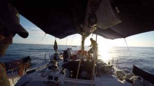 before college, and enjoy sailing my own Hobie Cat in Belize each year. Mike Peacock has owned and has been sailing and racing ocean-going sailboats most of his life.  Each crew member had extensive experience, Mike Haber with a lifetime on the water, and Rusty Nicholson, Sean Harr, Colin Cameron, Jordan Peacock, and Christian Graff, all with extensive experience as professional crew on sailboats. I had full confidence in this excellent collection of sailors!
Knowing the grace, speed, and historical record of this beautiful boat, we felt we had a very good chanc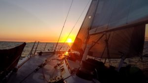 e to do well in this race. Merrythought won it in 1991 in 5 days, 20 hours.
By sundown the wind had come up, and continued to strengthen throughout the night. For three days we had some amazing sailing,  making excellent time. Then, in the early hours of the fourth day, in the pitch-black, dark, moonless night in heavy seas, near-disaster struck. At 02 AM the boat ran aground on a rock outcropping.
February 8, 2017
Port Antonio, Jamaica
Dear Katie, Tommy, Yuki, and Ryusei, Jessica, Dan, Gavin, and Lolly,
“So this is how it ends,†was the first thought that went through my mind as I was thrown out of my bunk in the middle of the night with deafening scraping noises as our sailboat ran full speed into a rock formation in the Windward Passage between Haiti and Cuba.
The second thought was one of immense gratitude. At that moment I felt that if this were the end, I am grateful. And an amazing peace and calm came over me.
There is so much depth to an experience such as I this; so many emotions. And I miss you all so deeply.
This was a serious accident. On the third night, early morning of the fourth day, just after skipper/owner Mike Peacock and I went off watch at midnight, having just fallen asleep in my bunk (our next watch was at 4 AM; one only can sleep two to three hours at a time) I was jolted clear out of my bunk as our boat hit a huge rock outcropping in the Windward Passage between Cuba and Haiti. It was a major crisis with the danger that the boat would sink. With more than 200 miles to go.
I grabbed my passport from my backpack and stuck it in my pants pocket. “That way they can identify the body,” I thought, as I hastily put on the ever-present life jacket.
I scrambled up the ladder after Mike and climbed through the hatch onto the mid-deck. As I clipped the tether of the life jacket onto a railing I saw the dangerous situation we were in: sails tearing from the weight of the waves breaking over the boat turning the boat almost on its side, the keel stuck in the rocks; the boat being pounded onto the rocks which were barely visible in the glow of Merrythought’s running lights in the black, moonless night.
I don’t mind telling you that my distinct, immediate, and crystal clear thought was, “So, this is how it ends…”
The crisis worsened as the boat continued to be lifted, just to be thrown onto the rocks again. In a flurry of efficiency the crew hauled all the sails down as quickly as possible, with the next wave lifting the boat even higher. Why is the boat still in one piece? No boat could withstand this pounding without getting demolished on the rock!
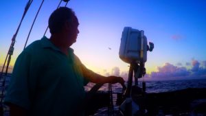
Through this all, I was amazed at my own calm, the clarity in my mind, and the sense of acceptance that flooded over me. I was so very impressed with skipper Mike Peacock as he calmly continued the MAYDAY! calls on the boat’s radio, trying to reach the Coast Guard unit located in El Salvador while calmly barking out orders of what needed to be done to protect lives and the boat. There was nothing else to do but try to deploy the life raft, many miles from the nearest land, the West coast of Cuba. “Prepare the life raft. Be ready to abandon ship!” ordered Mike. “MAYDAY, MAYDAY†he continued to call on the radio. These are not the words one wants to hear on a dark, stormy night at sea!
Mike continued to engage the engine, the boat lifting in the huge waves, many times coming so perilously close to capsizing, and then being slammed down onto the rock with amazing force. Everyone, with life jackets on and harness tethers clipped to the boat, was holding on for dear life. Launching a life raft on the lee side of the boat (on the weather side of these rocks) would be suicidal, as it would be ripped to shreds. And likely the boat could kill a few of us anyway as it would be thrown on top us. So the decision was to stay with the boat and hopefully a Coast Guard helicopter could reach us before it was too late.
I was amazed at the calm and efficiency of everyone on board, including yours truly. It was as if everything suddenly moved in slow motion. Our vision was clear, our focus intense, as we continued to try to save the boat. Not a person of this brave crew panicked; instead everyone calmly and efficiently worked to save the boat!
I thought about my life and privileges in nano-second flashes. I realized that if I survive, my life needs to be different, making a difference in the lives of others on a much greater scale than hitherto. And even as at that moment there was great uncertainty about our hope of survival, the love and faithfulness to my family became an immense, re-affirmed commitment.
Suddenly a huge wave lifted the boat. Mike fired the engine in reverse, then forward, and the boat actually lifted off the rocks holding it. It slowly turned to starboard, and as if in a dream, a miracle, we were afloat and free from the rocks. As the boat slowly moved away from the rocks everyone jumped into action, looking for the major leaks which would certainly sink the boat. Amazingly, there was only one serious leak. The crew immediately went to work to stem the flow as best as they could. A lot of “McGyver stuff” went on as the boat’s water pumps were engaged, electric wires stripped to rig an extra pump to try to stay ahead of the water entering the boat from a tear in the bow.
Merrythought is an aluminum boat, the hull plates would bend and stretch some, but only one seam actually separated. If she were a fiberglass boat she would have been shredded on those rocks.
While going through the rest of the boat carefully, we could hear the faint thud-thud -thud of a helicopter coming over the horizon. About two hours after the accident a U.S. Coast Guard helicopter arrived. Of course, there was no moon and it was still pitch black dark. Until daybreak this welcome helicopter hovered above and circled around us, their huge lights providing welcome light to help us continue our assessment of Merrythought. After assuring the officers that the boat seemed to be structurally okay, and we only had a spurt of water entering the boat from the starboard bow, they lowered a very large gas-driven water pump in an orange waterproof case into the water. We recovered it and hauled it onto the boat where we secured it on the deck.
 As the helicopter took a last turn around Merrythought and disappeared into the sunrise, the Coast Guard officer could be heard over the radio, “I hope I don’t hear from you guys again.”
Someone remarked that they will never complain about paying taxes again!
At first light, all hands still on deck, we fabricated a collision mat and crewman Christian dove under the boat to affix an epoxy and fiberglass patch to the crack, which we then covered with this collision mat. It was amazing to see the improvisation of this amazing crew, and the care taken to save Merrythought!
 We decided to proceed to Jamaica where there would be a facility to fully inspect and fix the boat seaworthy for the return to the USA. We had three pumps going 24 hours a day. We sailed and motored at low speed the remaining distance, for almost three days, and arrived on the opposite side of Jamaica at Port Antonio – the race was supposed to end at Montego Bay on the other side of the island.


After hoisting the boat out of the water on a huge derrick crane, we were not surprised to see the damage: bent hull plates, at least a foot of the keel stripped off and mangled, and the rudder shredded at the bottom. How this wonderful boat survived and brought us safely here to Jamaica is a miracle diffcult to comprehend, but very much appreciated.
Eight grown men huddled in a circle, and said a prayer of thanks for our survival. I don’t mind confessing that there were a few tears…
Unfortunately the boat damage is quite extensive. I do not see how it could be repaired in this short time to sail it back to the States next week.
I am quite emotional about this experience as I write this, knowing how close we came to a tragic disaster with eight lives on board. The true implications are only hitting me now as I look out over this very beautiful harbor at Port Antonio, with Merrythought out of the water on slings attached to a huge crane.
I suppose it is a bit of an aftershock as the reality only really sank into all of us just now, as we cried and held one another in a circle in a group hug.
It is wonderful to be alive and having survived something this profoundly dangerous.
Please know that I love you all. Please let’s remember how short and fragile life is. And please, let us continue to be a family like no other till I die.
I also wanted you all to know that I received an email that Ria is back in intensive care in South Africa. They have signed a DNR (Do Not Resuscitate) order. I spoke with Nici and she said the bedsores create such infections that she became extremely ill again. Her heart is also beginning to fail and they suspect a blood clot in her lungs.
Martie also sent an email and said it is not good.
Katie, by the time you read this you will probably be in Vietnam, and I will be in South Africa. I wanted you to know that having just had this dramatic experience reaffirms for me one of my core beliefs: family comes first. I am staying in contact with Nici, and have arranged to leave the island on Sunday to go to South Africa. I will be back to meet you in Chicago on February 24 when you get back from Japan, Myanmar, and Vietnam. I will try to call you or Skype later today.
Love to you all.
Your loving father, Oupa, father in law, and your admiring husband.
This video attempts to highlight the beauty of sailing a fantastic boat like Merrythought in challenging seas, while celebrating the courage of eight men who survived a near tragic event at sea, hundreds of miles from the nearest land.
VIDEO: Pineapple Cup – Miami to Jamaica, February 2017 (Running Time 20 Minutes)
We limped into Port Antonio early in the morning on February 8, 2017 having nursed Merrythought gingerly through three days of beautiful seas, not sure what we would find. It was announced that we had retired from the race.

After securing the boat on trestles in the Port Antonio harbor boatyard we hired a driver with a van to drive us across the island to Montego Bay. Mike had rented a villa there for us to stay the week of the race festivities at the Montego Bay Yacht Club after which we were to sail back to the U.S.
Mike and a couple crew members returned to Port Antonio the next day to start repairs on the boat. It became evident very quickly that repairs would not be completed in time for the planned sail back to the U.S. in one week.
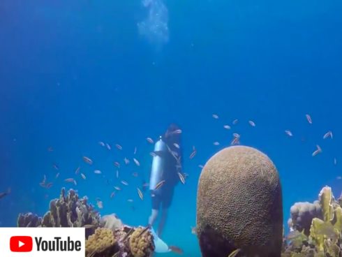
VIDEO: Diving in Montego Bay, Jamaica
After a couple of days with my Merrythought crew friends, scuba diving with Christian, and taking a day-journey up the mountain to visit Mayfield Falls. I decided to fly back to Miami a couple of days later. I had received word that my sister, Ria, who had a stroke in October 2016 and was bed-ridden had been readmitted to the hospital where she was in critical condition.
VIDEO: Merrythought crew at Mayfield Falls, Jamaica
I traveled to South Africa via Atlanta and had a wonderful, although sad, visit with her, my niece Nici, and the rest of my South African family. I flew back in time for a client meeting in Sarasota on February 23, and then headed to Chicago for the weekend on February 24. Katie had spent the previous three weeks traveling in Japan, Myanmar and Vietnam, and I was anxious to see her, Jessica and Dan and Gavin and Lolly, with the wonder of this amazing, life-changing experience still so fresh. And I missed Thomas, Yuki, and Ryusei who Katie had just visited. I was looking forward to hearing their news. Having been on opposite sides of the world, I was also excited to hear about Katie’s journey in Myanmar.
Mike was able to complete temporary repairs, including finding someone to weld an aluminum plate over the tear in the bow. Unable to get a new keel and rudder shipped from the U.S. the damaged parts were sawed off, and a few weeks later he and a skeleton crew sailed the boat back. Merrythought was sold by the insurance company and I heard that she is somewhere up in Connecticut.
Now, a year later, my sister Ria has made good progress and was able to move home. Still not ambulatory, she requires 24-hour care, but continues to have her old positive spirit even through this adversity.
I wrote this blog to remind me of this life-changing experience juxtaposed with the fragility of life as I witnessed and remember the life-changing result that an unexpected occurrence such as our near-disastrous accident or Ria’s stroke produce. May we all remember how short life is, live life to the fullest each day, keep our families first and foremost in our thoughts and deeds, and help take care of those who are less fortunate than we are.
![]()
Click the YouTube icon for a short video of the Hurricane and the aftermath
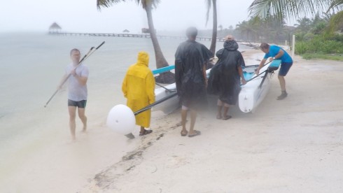
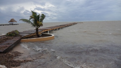
We have spent an amazing week at Belizean Cove Estates on Ambergris Caye, San Pedro, Belize. We were supposed to leave yesterday, Thursday August 4, 2016. On Wednesday night August 3, 2016, however, we survived Hurricane Earl, a category One storm (with winds gusting to 85 or 90 mph, it was close to a cat Two storm) which swept across Central America, with Belize and our island right in its path. http://www.denverpost.com/2016/08/04/hurricane-earl-downgraded/. So, all flights out of Belize were cancelled, and the first we could get on is Saturday.
My BIG regret is that Thomas and I are missing the Pelotonia 100-mile bike ride on Saturday! Hopefully we will be back Saturday night to go to Dexter MI to see Jessica in My Fair Lady at The Encore Musical Theatre on Sunday.
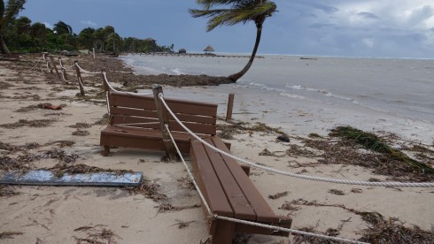
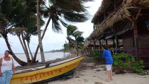
Our dock before the Hurricane Earl destroyed it on Wednesday night. My Hobie Cat ready to sail.
This bench ended up on the beach at Capricorn
We took down the Hobie’s mast and removed anything that could break in the coming hurricane.
It was amazing to see the frenzy and energy in the town of San Pedro, and around our condo at the Cove as everyone prepared for the storm, shuttering buildings, closing store, moving boats to safety. In a driving storm with very strong winds in advance of the hurricane, we moved my boat to higher ground.
We moved the Hobie to higher ground in a driving rain and wind storm.
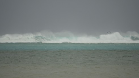
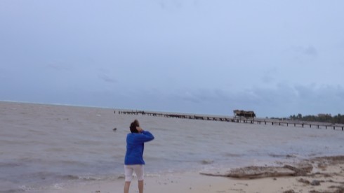
Waves already breaking over the reef 10 to 15 feet high, 800 yards out.
I took some pictures of the waves already breaking more than 10 feet high over the reef, 800 yards out. The storm is expected to make landfall in about four hours. The surge was already several feet higher than normal, with waves beginning to cover our dock, normally three feet above high tide.
Waves beginning to cover our dock
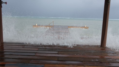
We battened down and prepared to wait out the night in our condo. The wind strengthened and the rain started pouring, with the waves now literally washing clear up and over our storm wall and up tp the condo. At about 10 PM the electricity went out, and the storm started in full strength.
The storm picked up strength by 10 PM. Our dock is stll there, with waves now washing clear over the storm wall.
With the wind howling and rain battering our condo, we went to bed and hoped for the best.
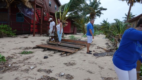
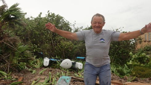
We woke up at first light and wend outside in the still howling wind to inspect the damage. It was devastating to see the exent and the power of a category 1 hurricane. I cannot image a category three or four!
Our dock was almost completely destroyed, the palapa and front half of the dock gone!
Our dock was almost completely destroyed. They found the roof of the dock palapa (see the first photo in this blog) at El Pescador, a mile up the beach. A section of our dock was lying next to Capricorn, 500 yards up the beach, and the benches from our dock palapa was at our neighbors’, three properties north!
Capricorn’s dock severely damaged…Â the palapa completely gone.
A section of our dock 500 yards up the beach
The bench from the inside of our dock palapa, over at Capricorn. See the second photo above.
Falling coconuts can kill a person! Katie checking our Capricorn’s boat
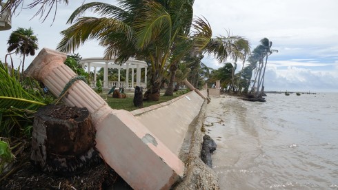
A section of sea wall on the way to Coco Beach
My Hobie Cat, Amazing Grace, survived! No damage…
Later in the day we took a golf cart to San Pedro. We were just stunned by the damage. No dock was spared. Everyone had suffered complete or near-complete loss of anything facing the ocean. I was old by our local friends that they had never seen this much damage before, even when they had a category three storm. Since this storm came directly from the ocean, the storm surge just took everything in its path.
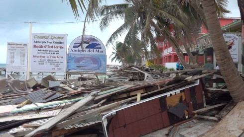
The dock to the left of Amigos Del Mar, our dive shop for the past 15 years, was completely destroyed. That dock contained a building which housed the gas station for boats. It was now lying in front of Cholo’s Bar on the beach.
The building containing a store and the boat gas station was where that hole in the dock on the left is now
The chaos and damage is incomprehensible…
Ryusei and Katie on the Amigos Del Mar/Cholo’s beach
Where does one start? Yuki and Katie in front of Estele’s
The spirit of these Belizian people is unbreakable. As children play in the park, our friend, René sums it all up, “The price we pay to live in Paradise.”
Children without a care in the world, even the day after Hurricane Earl!
“The price we pay to live in Paradise.” – René, our diving boat skipper for many years at Amigos Del Mar.
![]()
Click the YouTube icon for a short video of the Hurricane and the aftermath
For many years we have spent at least a day catching lobsters with our friend, Will Alamilla, father of our friend Crazee Eddie Alamilla. Almost every time we would end up cleaning the lobsters at Wills “castle/shack” on the water South of Ambergris Caye, making fresh civeche, and drinking a few Belikins (the local beer). On Tuesday this week (the day before Hurricane Earl struck) our sevn-year-old grandson, Ryusei, was delighted to catch a few fish as we enjoyed the company and wisdom of this wise Belizean lobster fisherman, who has been coming to this shack since he was 14. Will is now 74, and still dives for lobster to supply the restaurants in San Pedro every day.Â
Will LOVES his shack built on stilts on the water. Once we were sitting there, taking in the horizon, waves breaking over the reef in the distance. Will, who has had a hard life on this island, put life in perspective for me when he said, “Aren’t we lucky. People in the world are suffering and we are sitting her in paradise having a good time.” I love
I just had a call from Eddie to tell me that Will’s shack had been completely washed away by Hurricane Earl. That is devastating news.
Our hearts truly go out to Will and his family.
Will Alamilla’s “castle /shack” on the water
Will Alamilla has been catching lobster in these waters for more than 50 years
Ryusei catching a fish – one of many – from Will’s porch.
Today I was able to reach Will by telephone. He reported that to date he has only been able to find about 10% of his lobster traps and that he is heart broken about his shack on the water. He reported that, since the shack was located in the Hol Chan Marine reserve, he would not be allowed to rebuild it unless he reconstructs it immediately. The problem is that with greatly diminished income as a result of the loss of his traps, he would not be able to afford the materials.
This afternoon I wired Will the money to rebuild his shack – a token of the appreciation and respect we have for Will, a gift from my family to Will and his.
Sundowner on Pitsane Hill
The Grové family visited Mashatu from January 1 to January 4, 2016. Our ranger was Kenosi, and our tracker Lovemore. We were extremely impressed with these wonderful two Batswana! My name is Willie Grové, and my wife Katie and I have visited Mashatu a number of times since as early as 1976, and have sent several American friends to Mashatu
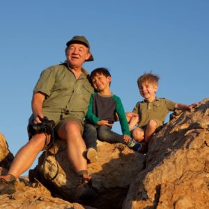
Oupa and his boys on top of Pitsane Hill
over the years. It has been and remains our favorite game experience in Botswana! I have posted many of our experiences in Africa on my New Trekker Adventures Ltd. website, including photos and videos. These include a short video of a visit to Mashatu in 1997. I have posted a video of our most recent experience on YouTube. Our sincere thanks to our wonderful guides, and camp manager Peter for another great experience. This time we traveled with our whole family, including our two grandsons, Gavin Cooney and Ryusei Grové. They along with our daughter Jessica and Dan Cooney, and our son Thomas and Yuki Grové thank you for a terrific experience! Videos are on YouTube
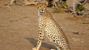
Cheetah

VIDEO: Grové Family on Safari in Mashatu, Botswana. January 2016
SLIDESHOW: Grové Family on Safari in Mashatu, Botswana. January 2016
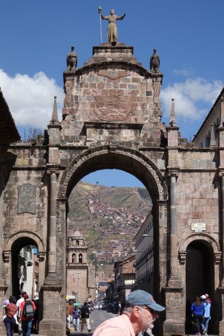
Arco Santa Clara, one of the four entrances to Cusco
I was invited to travel to Peru by my friends, Bill Riat, and Jim Macklin – biking buddies with whom I ride my bike more than 100 miles to Portsmouth, Ohio each year.
We just completed this year’s ride last Saturday, May 7, 2016, and here we are off on the next adventure. We are joined on this trip by friends Dick Alkire, Dave Jordan, and Jim Simon.
If it is true hat it is not the destination, it is the journey that counts, we were off to a good start! We arrived at Port Columbus airport at 4 PM for our 6 PM American Air flight to Miami where we would connect with our LAN flight to Lima, Peru at 12:44 AM. Unfortunately a baggage handler drove his cart into the airplane’s wing, and our plane was incapacitated. “Not to worry,” the agent said. “They are sending a plane from Chicago.”
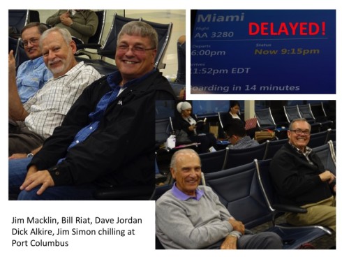
We went back to Eddie George’s to pass the time, because now our flight was expected to depart at 8:15 PM, if the plane from Chicago made it at the expected time. We rushed back to the gate at about 7:30, and discovered the plane had not even left Chicago yet!
We had a short discussion with our pilot (waiting for the same plane), who assured us that if we could take off no later than 9:30 we should still make our connection. Bill said, “If we give you $200, could you fly a little faster?” Of course, by now we were getting a little nervous, because missing our connection would mean waiting at least a day in Miami, if we could even get on another flight the next day.
Finally at 9:15 PM we boarded and took off exactly at 9:30. Of course we landed in terminal A, at 12:00 AM, the time the Lima flight started boarding, and the next flight departed out of terminal J which is in the next county. A gate attendant warned, “You must do a power walk. They won’t hold the flight for you!” We literally ran the one or two miles (only slight exaggeration!), and were the last to board our plane, which took off barely 10 minutes later.
After a very comfortable 5 1/2 hour flight during which we slept all of three hours, we landed in Lima where we cleared customs and immigration, collected our luggage and made our short 1hr 10 min flight to Cusco.
Our plane glided in over beautiful mountain tops and landed in the beautiful, ancient, sacred city of the Incas, nestled in the fertile valley surrounded by towering mountains.
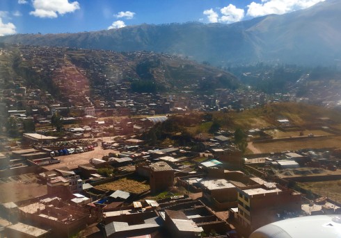
Arriving in the Sacred Valley of the Incas – landing in Cusco
The Sacred Valley of the Incas was undoubtedly a key area of settlement to the Incas. Its agreeable climate and fertile plains make a rare and fruitful combination for the high Andes. It was also the route to the jungle and therefore an area with access to the fruits and plants of the tropical lowlands. The Sacred Valley served as a buffer zone, protecting Cusco from incursions of the Antis, the fierce jungle tribes who from time to time raided the highlands. Today, the Sacred Valley remains a lush agricultural region supplying the city of Cusco with much of its produce such as maize, fruit and vegetables.Â
Cusco is a city in southeastern Peru, near the Urubamba Valley of the Andes mountain range. It is the capital of the Cusco Region as well as the Cusco Province. The city has a population of about 450,00. Located on the eastern end of the Knot of Cuzco, its elevation is around 3,400 m (11,200 ft).
The site was the historic capital of the Inca Empire from the 13th into the 16th century until the Spanish conquest. In 1983 Cusco was declared a World Heritage Site by UNESCO. It has become a major tourist destination, receiving nearly 2 million visitors a year. (https://en.wikipedia.org/wiki/Cusco)
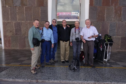
After flying all night we arrived in Cusco, ready for the adventure…
We were met by our guide, Thomas, from Sobek Mountain Travel, our outfitter. Thomas took us through the bustling streets of Cusco to our hotel, the Monasterio.
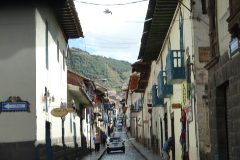
Cusco Street
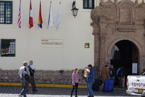
Arriving at the Hotel Monasterio
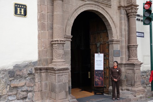
Front Entrance
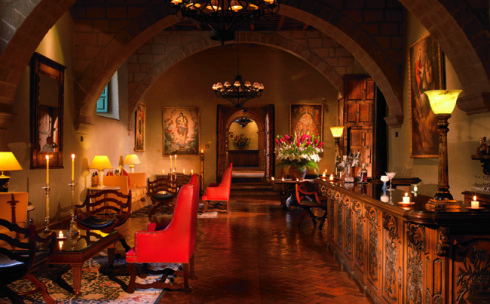
Reception Lobby
As its name implies, the hotel sits on the site of a Jesuit Monastery, built in 1595 to train catholic priests. Prior to this date it was the Palace of the Inca Amaru Qhala. Today, you won’t find any Incan remains in this property but you will find an exquisite example of colonial renaissance style architecture. The hotel is a world famous Cusco landmark, and within easy walking distance from many of the ancient buildings and other wonders this city offers.
After a quick rest and lunch were were met by Thomas who guided us to the significant places we needed to experience.
But first Bill had to take a few pictures of an Inca woman and her daughter in traditional dress. And of their Alpaca. We soon found out that there would be many more such opportunities for a few Sol (Sun) the local currency. (3 Sol is about $1.00)
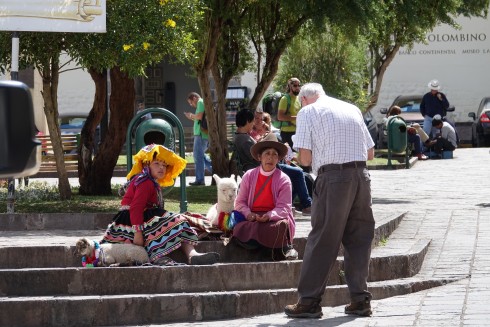
Bill taking a picture of a traditional Inca woman and her daughter in traditional dress, and their Alpaca
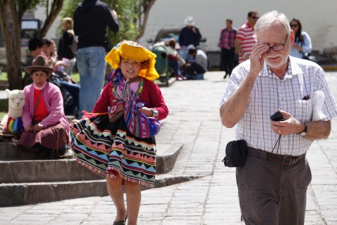
…maybe he didn’t pay enough?
We moved on to the main city square, Plaza de Armas. Known as the “Square of the warrior” in the Inca era, this plaza has been the scene of several important events in the history of this city, such as the proclamation by Francisco Pizarro in the conquest of Cuzco.
The Spanish built stone arcades around the plaza which endure to this day. The main cathedral and the Church of La CompañÃa both open directly onto the plaza.
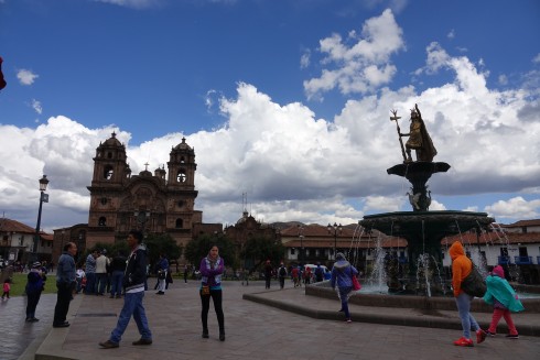
Plaza de Armas with the Church of La Campañia on the left and the statue of the Warrior King on the right
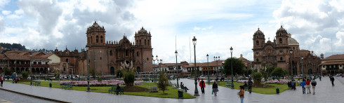
Plaza de Armas with Cusco Catedral to the left, the Church of La CompañÃa to the right
We moved on to explore the narrow alleys and streets of Cusco where we found excellent representations of the famous Inca stonework. Using only stone tools and no cement or mortar, these precisely carved stones stand today as a monument to the craftsmanship of these ancients.
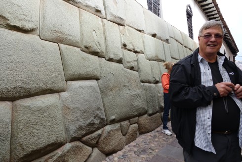
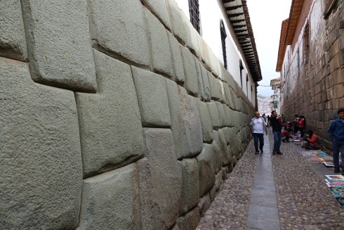
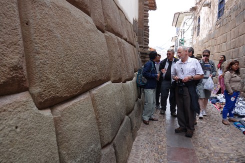
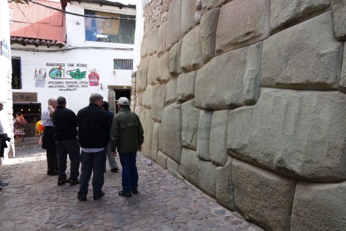
An of course we once again admired the beautiful colorful clothes of the traditional Inca people.

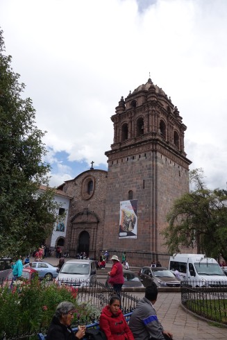
The Convent of Santa Domingo
The Qurikancha (“golden place”) was the most important sanctuary dedicated to the Sun God at the time of the Inca Empire. According to ancient chronicles Qurikancha was said to have featured a large solid golden disc that was studded with precious stones and represented the Inca Sun God – Inti.
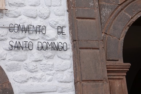
Spanish chroniclers describe the Sacred Garden in front of the temple as a garden of golden plants with leaves of beaten gold, stems of silver, solid gold corn-cobs and 20 life-size llamas and their herders all in solid gold.
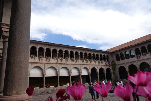
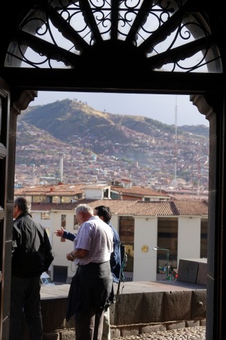
The temple was destroyed by its Spanish invaders who, as they plundered, were determined to rid the city of its wealth, idolaters and shrine. Nowadays, only a curved outer wall and partial ruins of the inner temple remain at the site.
With this structure as a foundation, colonists built the Convent of Santo Domingo in the Renaissance style. The building, with one baroque tower, exceeds the height of many other buildings in this city.
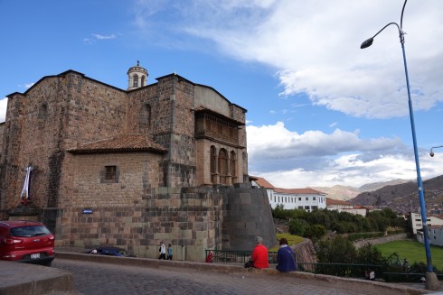
The only remnant of the original Temple of the Sun is the curved outer wall to the right of the Convent of Santa Domingo
We left to go play with some Alpacas..
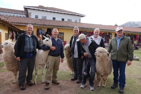
Back at the Plaza de Armas our last exploration for the day was the Cusco Cathedral. Simply called Catedral, the main basilica cathedral of the city was built between 1560 and 1664. Stone was used as the main material, which was extracted from nearby quarries, although some blocks of red granite were taken from the fortress of Saksaywaman outside Cusco.
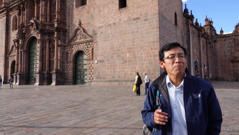
Our guide, Thomas, explaining the history of the Cusco Cathedral
This great cathedral presents late-Gothic, Baroque, and plateresque interiors and has one of the most outstanding examples of colonial goldwork. Its carved wooden altars are also important.
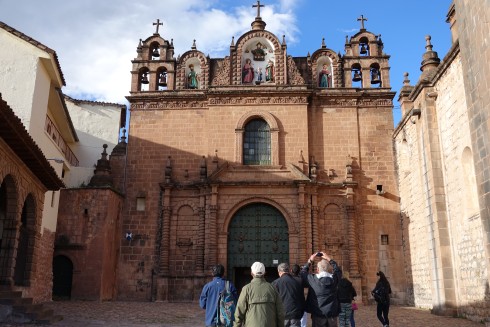
We entered this sanctuary and were blown away by the beauty and the wealth represented here. Thomas explained that most Peruvians practice a combination of the Catholic faith and traditional Inca religion.
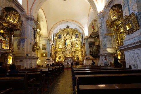
We spent a long time in Catedral, and when we emerged it was dark.  We were exhausted from more than two days’ travel and exploration of a most amazing city as we admired the beautiful Plaza de Armas after dark.
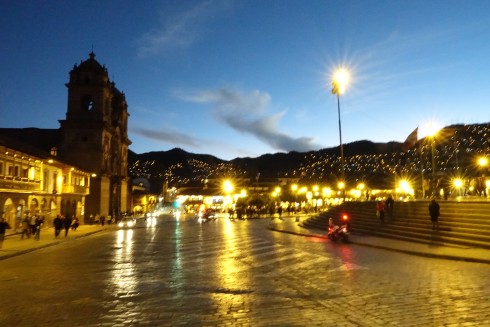
Plaza de Armes at night
We enjoyed a lovely dinner…
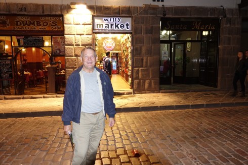
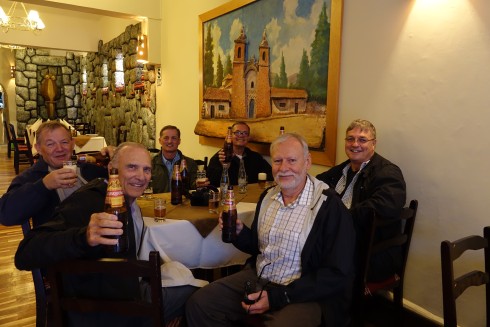
…and arrived at our hotel exhausted. I am sure everyone was in bed by 9 PM!
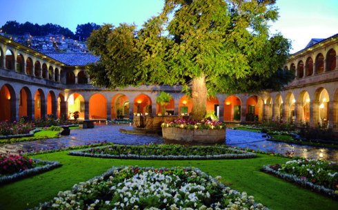
Hotel Monasterio Main Courtyard Gardens at night
After a lovely breakfast we set of to explore the rest of the city. We walked through the Plaza de Armas, and once again enjoyed the spectacular Iglesia de la CompañÃa de Jesús (Church of the Society of Jesus.) This church, whose construction was initiated by the Jesuits in 1576 on the foundations of the Amarucancha or the palace of the Inca ruler Wayna Qhapaq, is considered one of the best examples of colonial baroque style in the Americas. Its façade is carved in stone and its main altar is made of carved wood covered with gold leaf. It was built over an underground chapel and has a valuable collection of colonial paintings of the Cusco School.
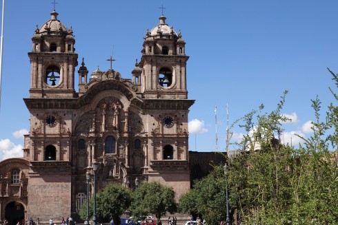
Iglesia de la CompañÃa de Jesús
A wonderful bonus: we were entertained by a group of 5 or six-year-old kids practicing for an important festival coming up in Cusco in a couple of weeks. Too cute! Click on the photo below or on the link for a 30 second video. (Kids dancing in Plaza de Armas)
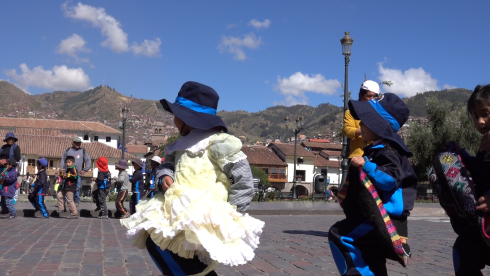
![]() Kids dancing in Plaza de Armas
Kids dancing in Plaza de Armas
Next we walked through the Arch of Santa Clara, one of the four gates into the city…
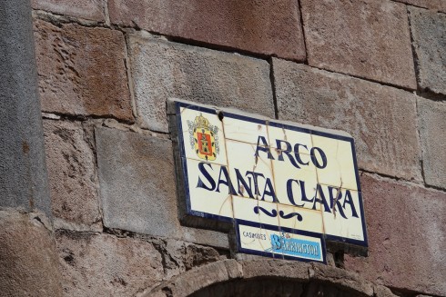
…and ended up spending a delightful few hours in the local market, Mercado San Pedro.
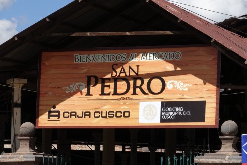
The slideshow will play automatically, displaying each slide for about 5 seconds…
We finished the day with a visit to the Inka Museum
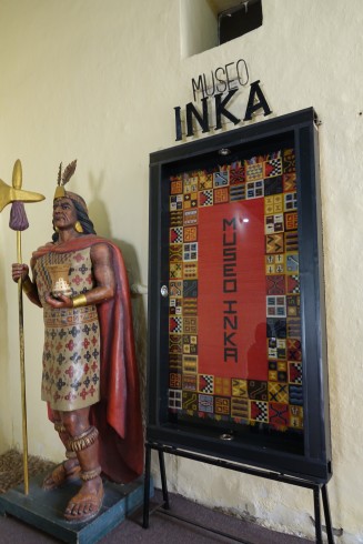
Museo Inka is a state owned museum run and managed by Cusco’s San Antonio Abad University. Located just off the Plaza de Armas to Plazoleta Nazarenas, the museum is set in a huge colonial mansion. There were about 24 exhibition rooms to view, each dedicated to different periods of the Inca and Spanish history of Peru. Overall, I was disappointed with the layout of the museum. There seemed to be only a limited amount of information (even in Spanish) about the items exhibited, or even what they were.
Nevertheless, it was a good way to explore and view some of the history and some of the items we read about in the book Last Days of the Incas.
We retired to our hotel, tired and ready for a lovley meal at a local restaurant.
Day 3, 4 , and 5 to follow – amazing treks, and totally impressive Inca ruins.
Please see Blog Post 2
Saqsaywaman, ancient Inca temple and fortress
Q’enqo, Sacred ancient ritual bathing
The village of Ccorao
And the famous Pisaq – our first serious trek: to the ancient terraces and mountaintop Inca ruins.
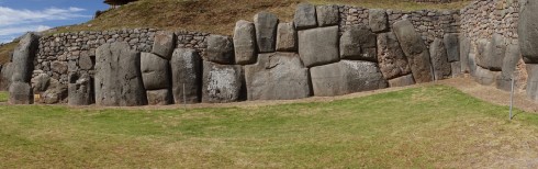
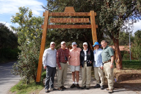
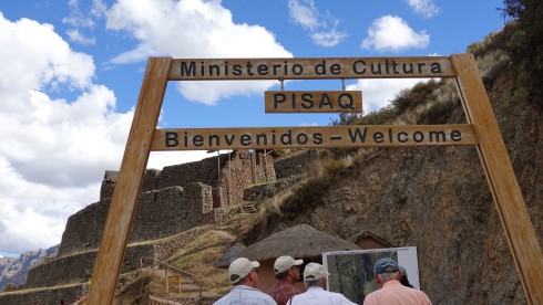
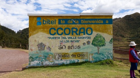
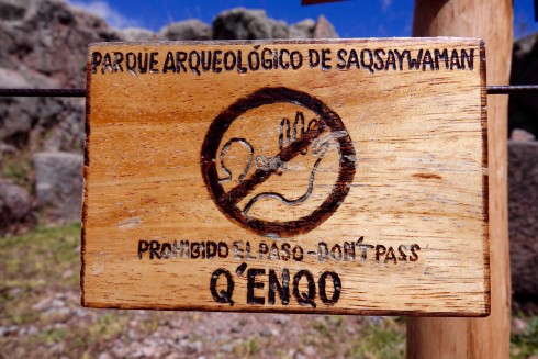
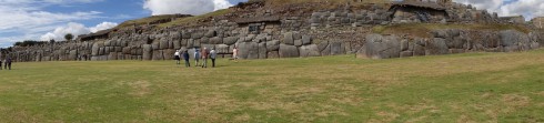
Saqsaywaman is a citadel on the northern outskirts of Cusco,, the historic capital of the Inca Empire. Sections were first built by the Killke culture about 1100. The complex was expanded and added to by the Inca from the 13th century; they built dry stone walls constructed of huge stones. The workers carefully cut the boulders to fit them together tightly without mortar. The site is at an altitude of 11,200 ft.
In 1983, Cusco and Saksaywaman together were added to the UNESCO World Heritage List for recognition and protection.
Located on a steep hill that overlooks the city, the fortified complex has a wide view of the valley to the southeast. Â Archeological studies of surface collections of pottery at Saqsaywaman indicate that the earliest occupation of the hilltop dates to about 900AD.
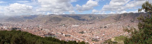
Located on a steep hill that overlooks Cusco, the fortress has a wide view of the valley to the southeast
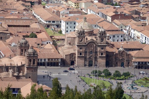
A view of the Plaza de Armas in Cusco from the Saqsawayan hill
The Inca used similar construction techniques in building Saqsaywaman as they used on all their stonework, albeit on a far more massive scale.Â
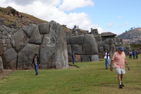
Bill Riat in front of one of the massive stones
The stones were rough-cut to the approximate shape in the quarries. They were dragged by rope to the construction site, a feat that at times required hundreds of men.  The stones were shaped into their final form at the building site and then laid in place.
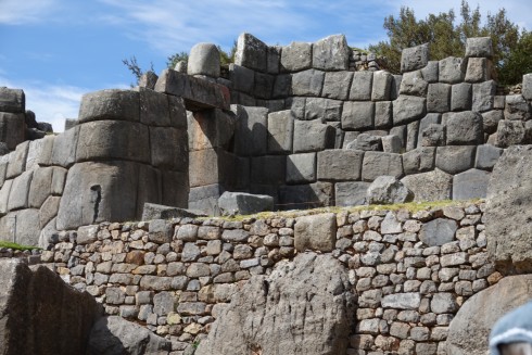
The work, while supervised by Inca architects, was largely carried out by groups of individuals fulfilling their labor obligations to the state. In this system of mita or “turn” labor, each village or ethnic group provided a certain number of individuals to participate in such public works projects.
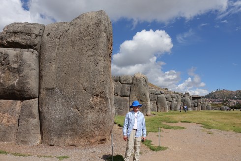
Jim Macklin in front of a stone that must weigh 100 tons!
After the Battle of Cajamarca during the Spanish Conquest of the Inca in the 1500s, the Spanish found the Temple of the Sun “covered with plates of gold”, which the Spanish removed along with priceless other treasures.
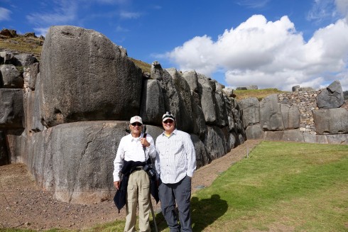
Jim Simon an Dave Jordan
After Francisco Pizarro finally entered Cuzco, his brother Pedro Pizarro described, “on top of a hill they [the Inca] had a very strong fort surrounded with walls of stones and having two very high round towers. Â And in the lower part of this wall there were stones so large and thick that it seemed impossible that human hands could have set them in place. Â They were so close together, and so well fitted, that the point of a pin could not have been inserted in one of the joints. Â The whole fortress was built up in terraces and flat spaces.” (https://en.wikipedia.org/wiki/Saksaywaman)
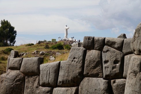
We spent considerable time admiring these amazing buildings, climbing to the highest point to get the best view of the full expanded complex.
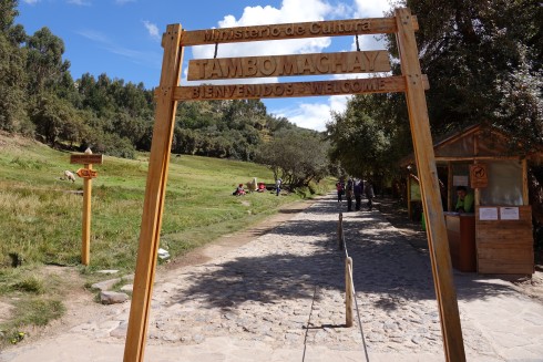
A steep path provided us with our first hike of the day, as we made our way up to the ancient ceremonial place.
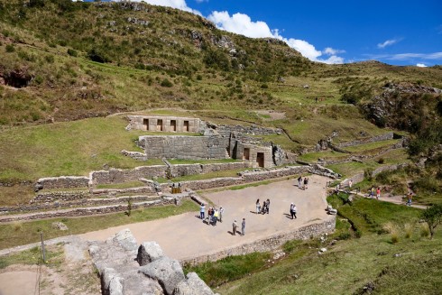
Tambo Mackay ceremonial baths with the four display sports where the embalmed bodies of deceased royalty were placed during the annual ceremonial bath
Tambo means guest house, machay means cave.  An alternate Spanish name is El Baño del Inca (“the bath of the Inca”).  It consists of a series of aqueducts, canals and waterfalls that run through the terraced rocks. The function of the site is uncertain: it may have served as a military outpost guarding the approaches to Cusco, as a spa resort for the Incan political elite, or both.  An annual ritual involved taking a bath in the crystal clear spring, with the embalmed bodies of the deceased kings being placed in four spaces above the spring
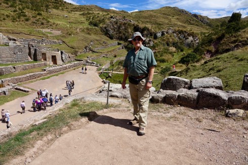
As in so many places on this journey, the locals were displaying their many colorful wares for purchase along the path.
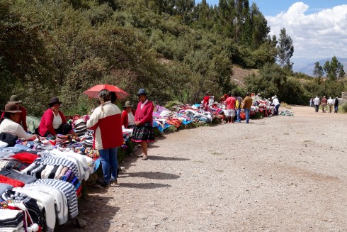
The locals were displaying their many colorful wares for purchase along the path.
***************************************************************
On the way to Pisaq we travelled through some of the most beautiful mountain scenery, and stopped at a lookout point above the village of Ccorao, surrounded by beautiful farmland in the fertile valley below.
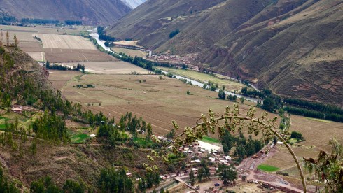
This was also our first view of the Urubamba River, which flows all the way to Machu Picchu and beyond.
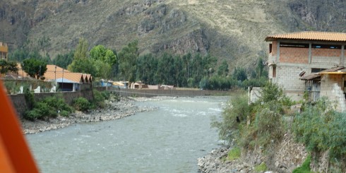
We had lunch in the charming town of Pisaq, and explored the very extensive market.
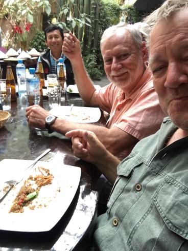
Willie and Bill at lunch in Pisaq. Our wonderful guide, Thomas in the background
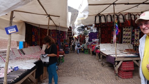
The market in Pisaq
After lunch we piled back into our van for the drive up to the famous ruins at Pisaq.
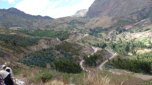

The Inca constructed agricultural terraces on the steep hillside, which are still in use today. They created the terraces by hauling richer topsoil by hand from the lower lands. The terraces enabled the production of surplus food, more than would normally be possible at altitudes as high as 11,000 feet.
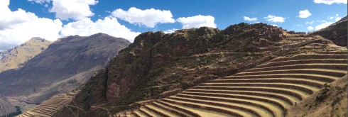
With military, religious, and agricultural structures, the site served at least a triple purpose. Researchers believe that PÃsaq defended the southern entrance to the Sacred Valley, while Choquequirao defended the western entrance, and the fortress at Ollantaytambo the northern. Inca Pisaq controlled a route which connected the Inca Empire with the border of the rain forrest.
This was our first opportunity to experience some serious climbing as we made our way o the top of the mountain fortress and temple.
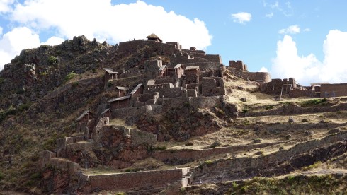
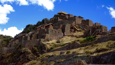
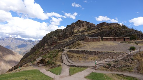
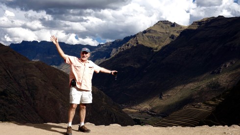
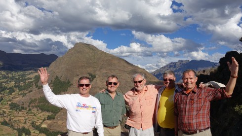
Exhausted we drove down the switchbacks and on to Urubamba to check in at our hotel, the Tambo del Inka.

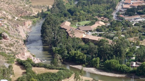
Tambo del Inka Resort on the banks of the Urubamba River
We took a scenic drive from the valley up to onto a highland plateau to visit the market town of Chinchero (12,398 ft.), passing through farmland areas with a patchwork of beautiful fields and adobe houses with red tiled roofs. The snow-capped Andes mountain were spectacular in the morning sun.
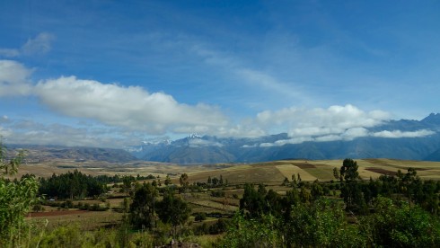
The snow-capped Andes mountain were spectacular in the morning sun.
At a lookout point we stopped to admire the view and pose for a group photo…
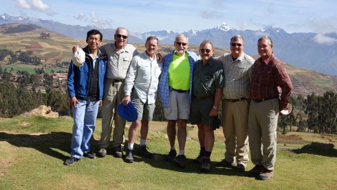
Our guide, Thomas, Dick Alkire, Jim Macklin, Bill Riat, Wilie Grov̩, Dave Jordan, Jim Simon Рthe snow-capped Andes behind us.
…and we enjoyed watching the local farmers at work…
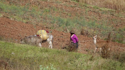
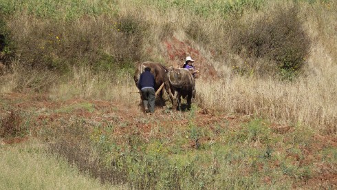
We had a lovely time photographing a mother and her young daughter with their alpaca.
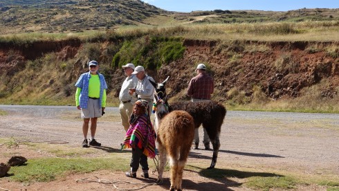
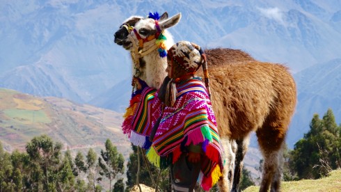
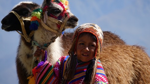
We continued to Chinchero, which we found a most interesting place.
Also known as The City of the Rainbow, Chinchero is located 28 km. northeast of Cusco at an altitude of 12,400 ft. It is situated midway between the highlands and the warm valley, and is surrounded by the snow-clad mountains of Salkantay, Veronica and Soray. The view from here is impressive.
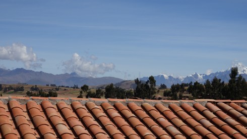
Chinchero, the most typical town in the sacred Valley of the Incas, is an Inca city which the conquerors wanted to “civilize” and establish their culture, but they were never able to achieve it completely. Its inhabitants live in the almost untouched Inca constructions where their ancestors lived and built the greatest and most prosperous civilization in America.
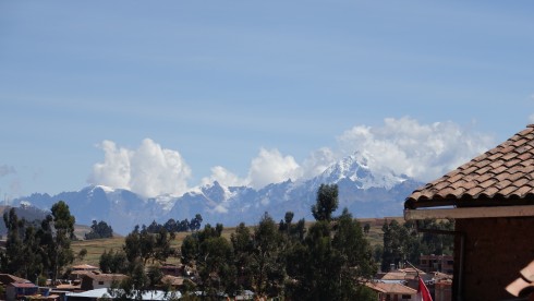
The current population of Chinchero lives in an old pre-Hispanic settlement and is one of the most representative remains of early Andean cultural resistance. Its settlers, dressed in multicolored clothes, maintain their Indian race, only speak Quechua and still keep their age-old customs which they refuse to abandon.
We were fortunate to enjoy a presentation of traditional weavers, who served us fresh mint tea right from their garden.
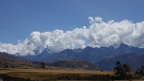
We continued on to the impressive earthworks at Moray, but stopped on the way to observe some people harvesting potatoes, and making a fire in an earthen oven to cook their lunch of potatoes.
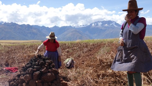
Women preparing fire in mud-oven to cook potatoes Click HERE or on the image above to see a short video clip.
![]() Â Inca Women Harvesting Potatoes
 Inca Women Harvesting Potatoes
Moray or Muray (Quechua) is anarchaeological site in Peru approximately 50 km (31 mi) northwest of Cuzco on a high plateau at about 3,500 m (11,500 ft) and just west of the village of Maras.
The site contains unusual Inca ruins, mostly consisting of several enormous terraced circular depressions, the largest of which is approximately 30 m (98 ft) deep. As with many other Inca sites, it also has a sophisticated irrigation system.
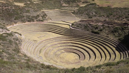
The purpose of these depressions is uncertain, but their depth, design, and orientation with respect to wind and sun creates a temperature difference of as much as 15 °C (27 °F) between the top and the bottom. It is possible that this large temperature difference was used by the Inca to study the effects of different climatic conditions on crops. Speculation about the site has led to discussion about Moray as an Inca agricultural experiment station. Its micro-climatic conditions and other significant characteristics led to the use of the site as a center for the ancient study of domestication, acclimatization, and hybridization of wild vegetable species that were modified or adapted for human consumption. (Wikipedia)
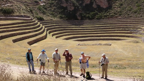
After exploring the many very interesting terraces, we were treated to an excellent picnic lunch with the lovely Helena serving a delightful meal and a good bottle of wine.
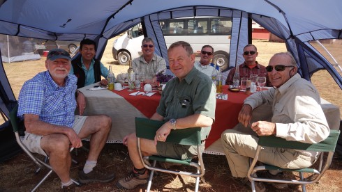
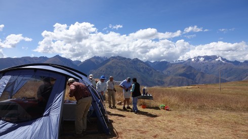
After lunch we traveled through the beautiful countryside, the higher peaks of the Andes filling the horizon…

… and arrived at the trail head for our hike to Salinas, the salt pans established here centuries ago by the Incas.
The trek was mostly downhill through the most beautiful scenery.
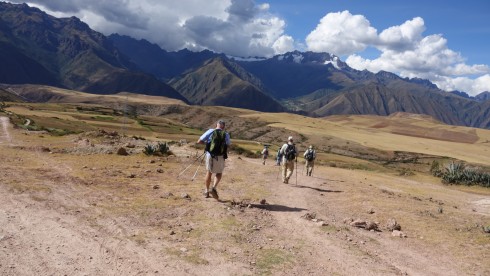
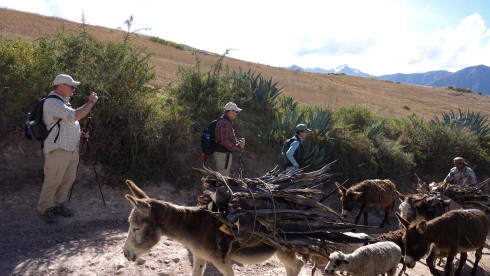
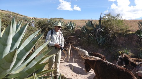
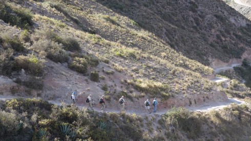
Soon we arrived at the mountain pass above the ancient salt pans of Salinas. This was a strategic trading area in Inca times. The Inca established these pans to harvest salt from the very salty water coming from a spring deep inside the mountain. This is still a very important activity today, and hundreds of tons of salt is harvested here each year.
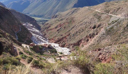
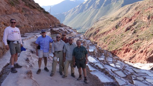
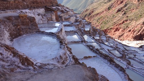
As the sun started its descent in the West, we made our way back for a lovely dinner and to rest up for another trek tomorrow.
![]() Hike from Pumamarca to Ollantaytambo
Hike from Pumamarca to Ollantaytambo
After breakfast we drove to the town of Ollantaytambo at the northern end of the Sacred Valley. A former Inca administrative center, it is the gateway to the Antisuyo (the Amazon corner of the Inca Empire)
An ancient switchback cobblestone road up the mountainside from the fertile valley below brings us into the town square from where we have an excellent view of the ancient Inca ruins we will explore this morning.
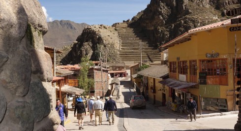
View of the fortress from the town square
At the time of the Spanish invasion and conquest of Peru, Ollantaytambo served as the last stronghold for Manco Inca, leader of the Inca resistance at the time. Nowadays the Ollantaytambo ruins and town are an important and popular tourist attraction in the Sacred Valley. The town’s primary attraction is the Ollantaytambo Fortress on the outskirts of the settlement in a section known as the Temple Hill.
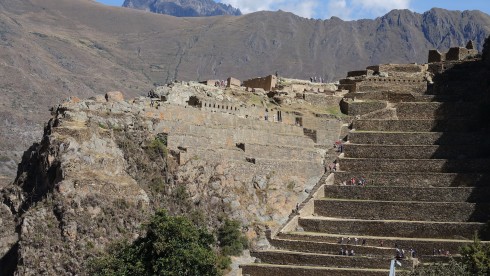
The fortress and Temple Hill
In the 15th century Inca Pachacutec conquered and began to rebuild the town of Ollantaytambo, constructing terraces for farming and an irrigation system. These huge terraces make up what is called the Fortress or Temple Hill.
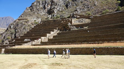
Our group in front of the massive agricultural terraces
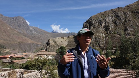
Our excellent guide, Thomas
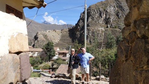
Dick and Bill with the Temple Hill in the background
The town became home to Inca nobility. After Inca Pachacutec’s death, the town and its surroundings fell to the hands of his family and then eventually into those of Manco Inca, who used Ollantaytambo as a retreat from the attacks of the Spanish. The fortress of Ollantaytambo, originally built for religious purposes, was the site of a major battle, one of the only successful ones against the conquistadors. From high above in the terraces of Ollantaytambo the Incas managed to hold back and defeat the Spanish. In addition they flooded the plain below forcing the Spanish to withdraw. With the Spanish defeated, Manco Inca retreated to the jungle stronghold of Vilcabamba shortly after the battle, knowing that the Spanish would return with even more force.  The fortress of Ollantaytambo was soon captured by Pizarro and his men. (Wikipedia)
We visited a local hotel courtyard, and were pleased to visit a working family home inside the huge walls where jim demonstrated the use of an ancient shovel, still in use today.
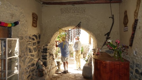
Entrance to a Hospidade (hotel) courtyard. Notice how thick the outer walls…
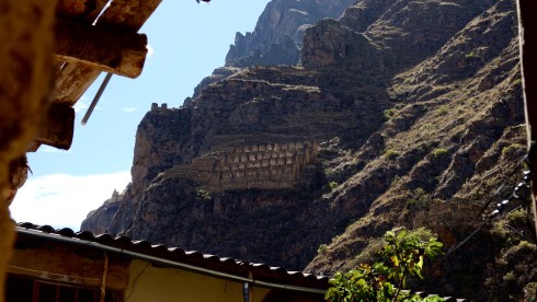
View of a granary storage high up the mountainside. The drier air enabled longer storage of their grain
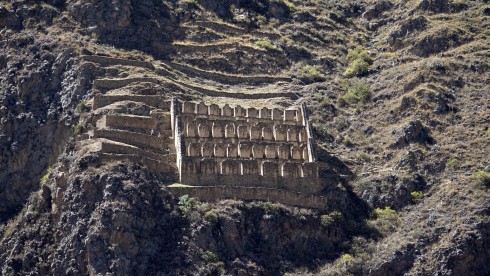
The Face of Wiracocha and the Storehouses above the Town of Ollantaytambo
We explored some more of the town before taking of for our afternoon trek.
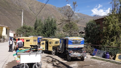
Taxi stand in Ollantaytambo
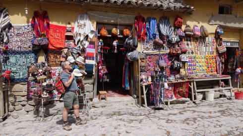
I bought a sweet little backpack for Lolly Grace Cooney, my two-month old granddaughter in New York                  Photo Credit: Thomas on Willie’s Sony
A narrow dirt road took us high into the Andes, through villages above the Sacred Valley to a lovely picnic spot to have lunch in the mountains – once again served by the lovely Helena – and to start our trek for the day.
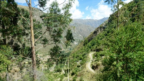
We drove up the narrow road to the Pumamarca campsite
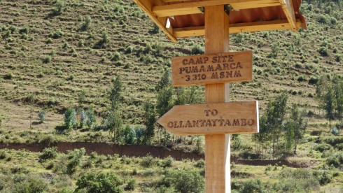
Start of our trek back to Ollantaytambo, almost 11,000 ft. Click on the image to be directed to a short video of this hike.
![]() Hike from Pumamarca to Ollantaytambo
Hike from Pumamarca to Ollantaytambo
We set off on a beautiful trek through the mountains, walking along ancient terraces for much of the way. At one point Jim Macklin broke out in “The Hills are Alive”, and the whole group was inspired to sing “Climb Every Mountain”, not an easy feat at these altitudes!
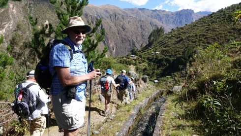
Bill at the start of the trail
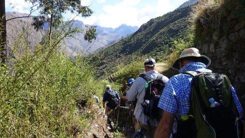
Amazing scenery!
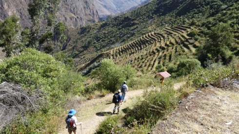
Amazing scenery – ancient terraces close to the end of the hike
These day treks were essential to prepare us for the difficult trek on the last leg of the Inca Trail tomorrow.
We were met at the trail-end by our driver, Wasi, and made it back to the hotel for our last night in Urubamba.
![]() Hike from Pumamarca to Ollantaytambo
Hike from Pumamarca to Ollantaytambo
Tomorrow we take off for the last leg trek on the Inca Trail, and for Mach Picchu!
 ![]()  Return to Cusco and Corpus Christi Festival Parade
 Return to Cusco and Corpus Christi Festival Parade
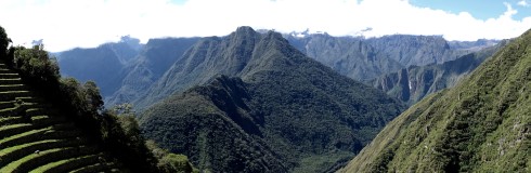
Click on the iamage above or on the YouTube icon to see a video: Inca Trail Trek
We were up before 5 AM, had breakfast, and sleepily piled into the van for the hour-long trip from Urubamba back to Ollantaytambo where we boarded the train to Machu Piccu. We would be dropped off at Km 104, in the middle of nowhere, at the trail head of the last day trek to Machu Picchu.
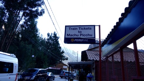
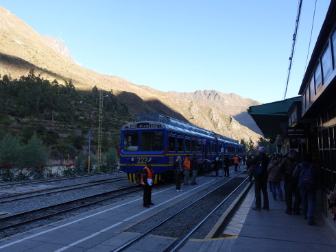
Boarding the train for Kilometer 104, the Inca Trail trail head.                                                  Photo Credit: Dick Alkire
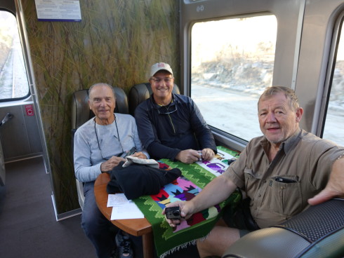
Dick, Dave and Willie on the Machu Picchu train.                                                                               Photo Credit Bill Riat
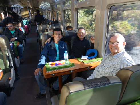
Our guide, Thomas, Jim Macklin, and Jim Simon the train to Machu Picchu.                                  Photo Credit: Bill Riat
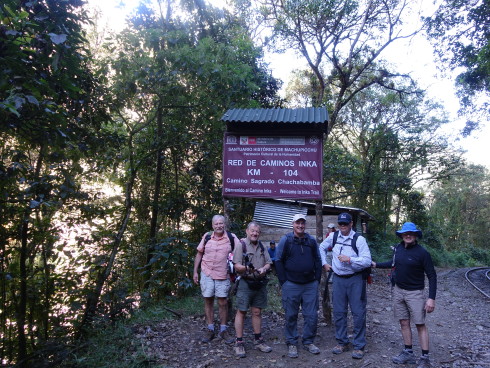
Km 104 – drop-off for the Inca Trail trail head.                         Photo Credit: Our guide, Thomas with Bill’s Sony Camera
We all made the 5ft drop from the train ladder to the ground below, except Jim Simon whose backpack launched a ferocious attack as he left the train. Only a minor injury, however!
We started over the bridge spanning the river and started what turned out to be a very challenging 8-hour trek, with many elevation changes, steep, uneven stairs cut out of the rock or built by Inca hundreds of years ago.
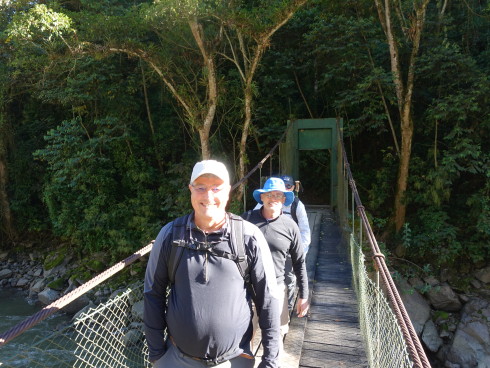
Starting the trek – we are still smiling!                                                                                                 Photo Credit Bill Riat
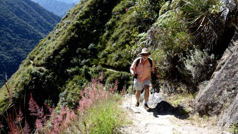
The Inca Trail to Machu Picchu (also known as Camino Inca or Camino Inka) consists of three overlapping trails: Mollepata, Classic, and One Day.  We opted for the One Day, since we have already had three days of fairly difficult hiking behind us, and time was short.
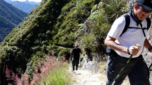
The trail soon became steep and difficult…
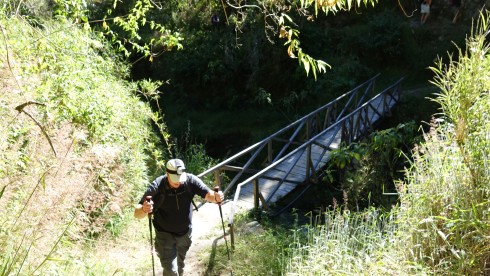
On the trail
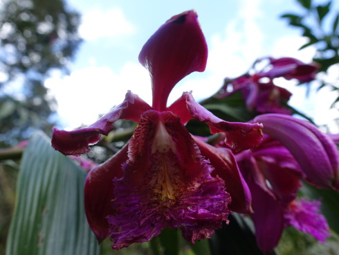
Beautiful flowers along the trail.                                                                                                      Photo Credit: Bill Riat
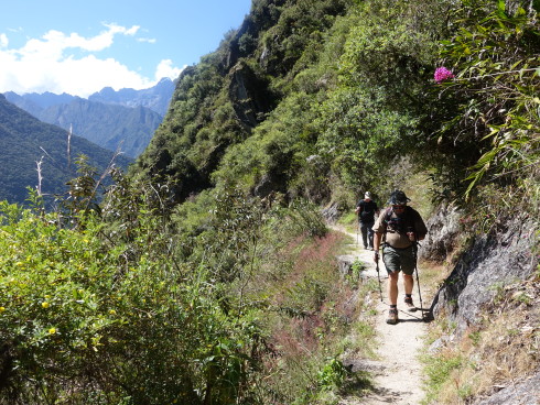
Beautiful flowers along the trail.                                                                                                       Photo Credit: Bill Riat
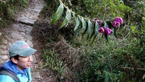
Beautiful flowers along the trail.   This orchid is endemic to the Andes.
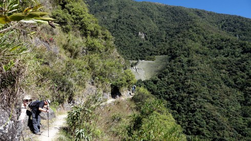
Winaywayna Fortress (Forever Young) where we would have lunch, still one hour away…
We stopped at a beautiful and refreshing waterfall for a rest, before tackling the final almost impossibly steep steps and terraces to to top of the mountain, and to the fortress Winaywayna (Forever Young)
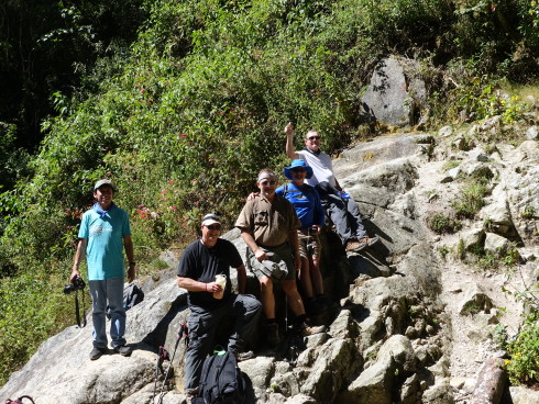
We stopped at a beautiful and refreshing waterfall for a rest
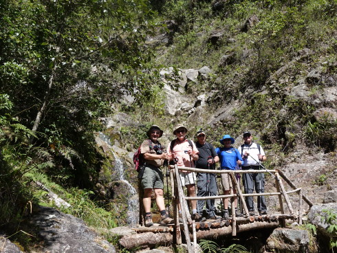
We took a short rest at a beautiful waterfall about 15 minutes from the base of Winaywayna
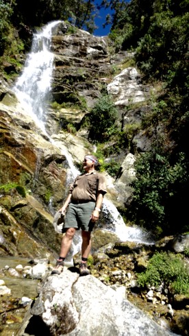
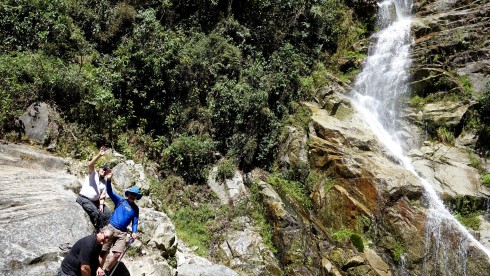
A welcome and refreshing, short break before the final push up to Winaywayna (“Forever Young”)
Soon we arrived at the stairs leading to the top of the ancient Inca ruin, huge agricultural terraces and remnants of 500-year-old buildings preserved very well. This last climb before lunch was PRETTY INTENSIVE…
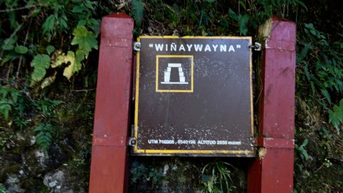
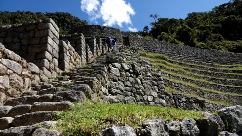
Just as one thought it was the final set of steps…
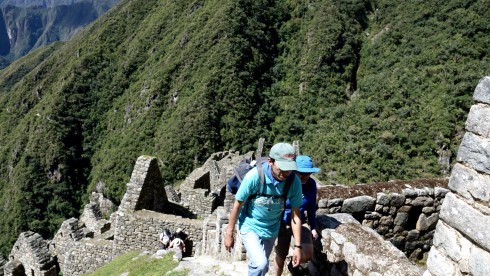
…there were more – even steeper climbing!
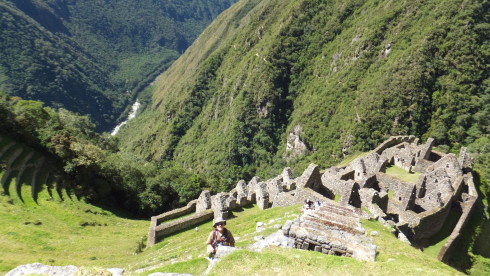
Almost there…Â Â Â Â Â Â Â Â Â Â Â Â Â Â Â Â Â Â Â Â Â Â Â Â Â Â Â Â Â Â Â Â Â Â Â Â Â Â Â Â Â Â Â Â Â Â Â Â Â Â Â Â Â Â Â Â Â Â Â Â Â Â Â Â Â Â Â Â Â Â Â Â Â Â Â Â Â Â Â Â Â Â Â Â Â Â Â Â Â Â Â Â Â Â Â Â Â Â Â Â Â Â Â Â Â Â Â Â Â Â Â Â Â Â Â Â Â Â Â Â Â Â Â Â Â Â Photo Credit: Jim Macklin
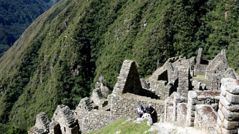
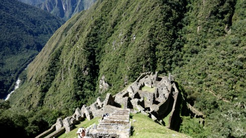
With difficulty we all made it to the top where we had a well-deserved rest and lunch.
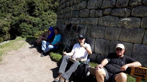
Lunch break at the top of Winaywayna
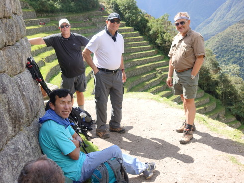
Lunch break at the top of Winaywayna
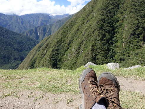
Lunch break at the top of Winaywayna.                                                                          Photo Credit and Boots: Bill Riat
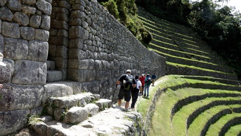
Leaving Winaywayna for the last three hours of the trek
We started out on the last three hours of the trek. The mountain seemed steeper, the steps taller and narrower.
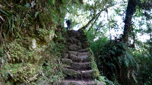
Soon after leaving Wanaywayna the steps became steeper, taller, narrower
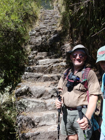
The steps became steeper, taller, and narrower.                     Photo Credit: Bill Riat
From Winaywayna the trail undulates along below the crest of the east slope of the mountain named Machu Picchu. The steep steps leading upward to Intipunku (The Sun Gate) are reached after approximately 3 Km of extremely difficult climbing, the steps knee-high and half the width of one’s foot. Reaching the crest of this ridge reveals the grandeur of the ruins of Machu Picchu, which lie below. It is one of the most important archeological constructions. Intipunku was once the main entrance to Machu Picchu, accessing it rpm the Inca Trail. This site was the main entry point from the South into Cusco, and the gate would have been protected by its military. Inti Punku is dedicated to Inti, the Sun god.
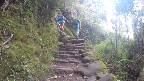
Jim starting the last climb before entering Intipunku, The Sun Gate
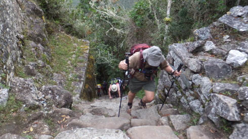
Willie following right behind him…Â Â Â Â Â Â Â Â Â Â Â Â Â Â Â Â Â Â Â Â Â Â Â Â Â Â Â Â Â Â Â Â Â Â Â Â Â Â Â Â Â Â Â Â Â Â Â Â Â Â Â Â Â Â Â Â Â Â Â Â Â Â Â Â Â Â Â Â Â Â Â Â Â Â Â Â Â Â Â Â Â Â Â Â Â Â Â Â Â Â Â Â Â Â Â Â Â Â Photo Credit: Jim Macklin
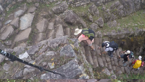
…and Bill Jim Simon and Dave finishing the virtually vertical steps.
The last 200 feet of steps carved into the steep mountainside by the ancients was almost impossible to climb…
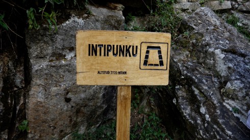
…but the emotion and the feeling of accomplishment as we walked through the Sun Gate, the full view of the wonder of Machu Picchu displayed before our very eyes more than a thousand feet and an hour hike below us, was almost too much to behold.
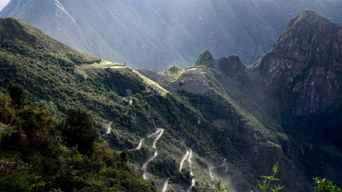
We walked through the Sun Gate, Machu Picchu far below us – still one hour away
Filled with emotion, congratulating each other on the success of our trek, we stood in awe at this terrific sight.
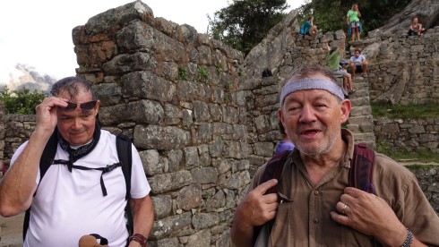
Jim and Willie – filled with emotion, congratulating each other on the success of our trek, we stood in awe at this terrific sight.
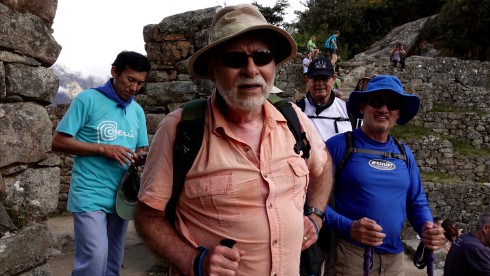
Thomas, Bill, Jim and Jim – filled with emotion, congratulating each other on the success of our trek
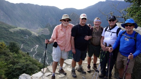
On the edge of he Sun Gate, Machu Picchu Ruins far below, with the winding dirt road another 30 minutes to Machu Picchu Pueblo below
Soon we left to finish the last 1,000 feet, one hour trek, down the mountain to Machu Picchu.
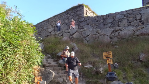
We stopped above the ancient ruins for some pictures…
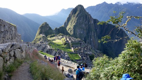
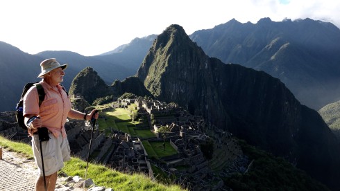 Â
 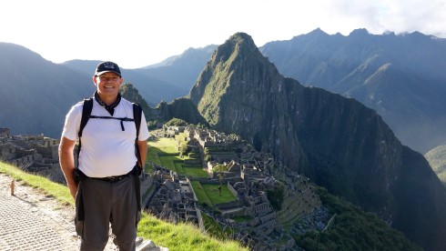
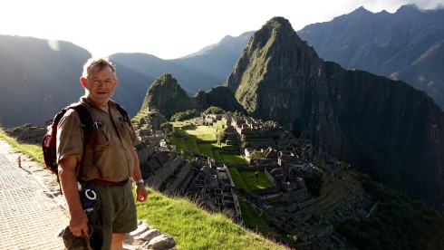
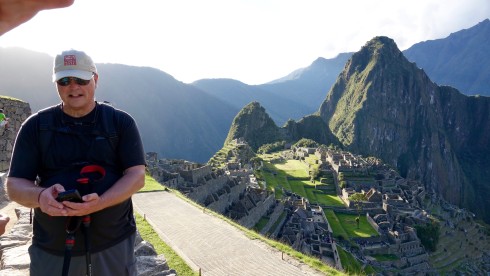
We made it to the base of the mountain by 4 PM, seven an a half hours after setting out on the Inca Trail in the morning at 8:30. We thought that was a reasonable accomplishment for a group of old guys!
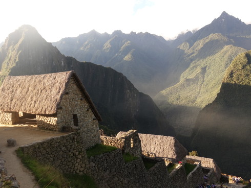
Leaving Machu Picchu to catch the bus to Machu Picchu Town.                                                   Photo Credit: Bill Riat
We boarded one of the buses taking travelers down to Machu Picchu Town on the hair raising, multiple switchback, dirt road. The buses kicked up a dust cloud like an early morning mountain fog.
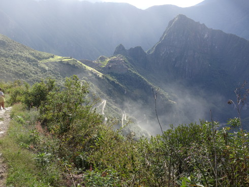
A herd of buses taking people down the mountain on the hair raising, multiple switchback dirt road kicked up a cloud of dust like an early morning mountain fog.
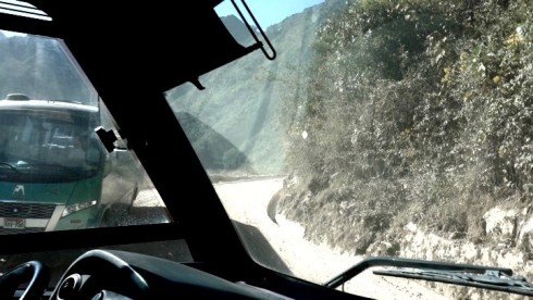
a hair raising 30-minute bus ride down the dirt road switchbacks to Pueblo Machu Picchu
We arrived in Machu Picchu town just about 5 PM, and walked through the crowded market to find our hotel and our friend Dick Alkire.
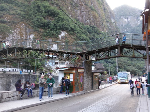
Machu Picchu Town (also called Aguas Calientes – Hot Springs)Â Â Â Â Â Â Â Â Â Â Â Â Â Â Â Â Â Â Â Â Â Â Â Â Â Â Â Â Â Â Â Â Â Â Â Â Â Â Â Â Â Â Â Â Â Â Â Â Â Â Â Â Â Â Â Photo Credit: Bill Riat
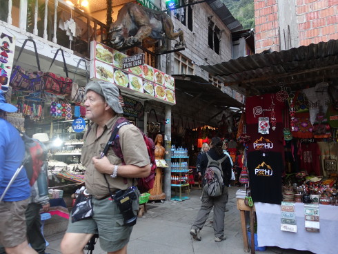
We walked through the crowded market to find our hotel                                              Photo Credit: Bill Riat
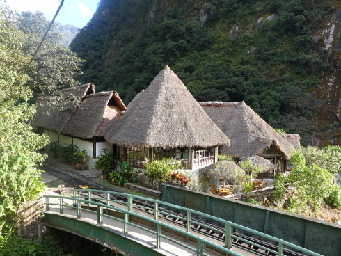
Inkaterra Machu Picchu Pueblo Hotel                                                                                            Photo Credit: Bill Riat
We were met by our friend Dick Alkire, who took the train all the way to Machu Picchu. Dick is receiving a bovine heart valve in a couple of weeks and we thought it wise for him to skip this strenuous trek!
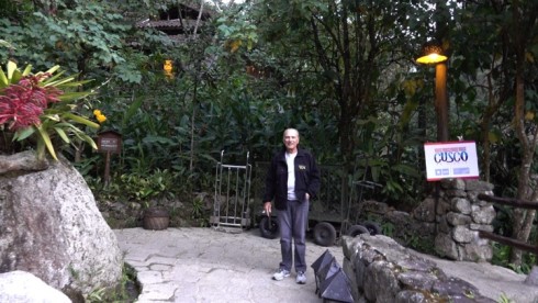
We were very happy to meet up with Dick Alkire at the entrance to the hotel
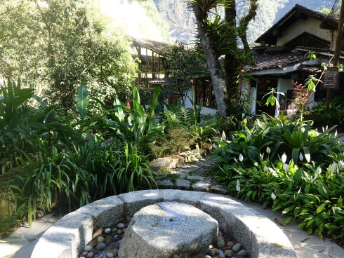
Inkaterra Machu Picchu Pueblo Hotel                                                                                         Photo Credit: Bill Riat
We celebrated with the local beer, Cussqueña, and after a good shower and a hearty dinner we went straight to bed, exhausted.
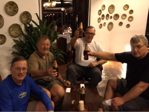
Well-desreved Cusqueña cerveja – Bill was already in the shower…                                                             Photo Credit: Dick Alkire
Tomorrow morning I leave early to climb to the summit of Montana Machu Picchu (Machu Picchu Mountain), and then will join the group at about mid-day to explore the famous Machu Picchu ruins. I learned that they only allow 400 climbers a day on Montana Machu Picchu, so i was really impressed when our guide, Thomas, showed up before dinner with my permit to climb the mountain tomorrow morning at 9 AM.
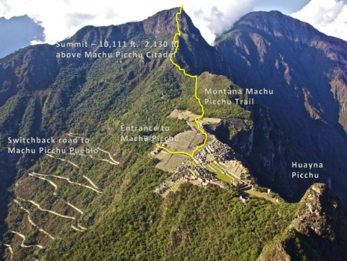
![]() Â Climbing Montana Machu Picchu
 Climbing Montana Machu Picchu
I heard that Machu Picchu Mountain is the most spectacular yet one of the most overlooked optional treks available at Machu Picchu, so I decided I really wanted to climb this mountain in spite of the strenuous trek we had yesterday.
Located to the south-west of Machu Picchu citadel and towering 3,050 meters (10,111 feet) above sea level, the mountain trek offers unparalleled views of the famous Inca sanctuary and panoramic vistas of the surrounding mountain scenery.
At its summit Inca priests once performed rituals on special dates as well as liturgical greetings to the Salkantay Apu. The snow-capped peak, Apu Salkantay, is one of several sacred mountains that ring Machu Picchu. For centuries, the Incas have honored each mountain — or Apu — as a unique, divine consciousness. Little did I know what a profound experience it would be for me to stand at the summit of Montana Machu Picchu and see Salkantay Apu.
I was up at 6:30 AM, had a quick breakfast, and made it down to the bus stop in Machu Picchu Pueblo.
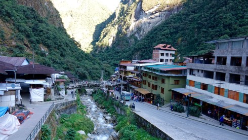
After a quick breakfast, I made it down to the bus stop in Machu Picchu Pueblo.
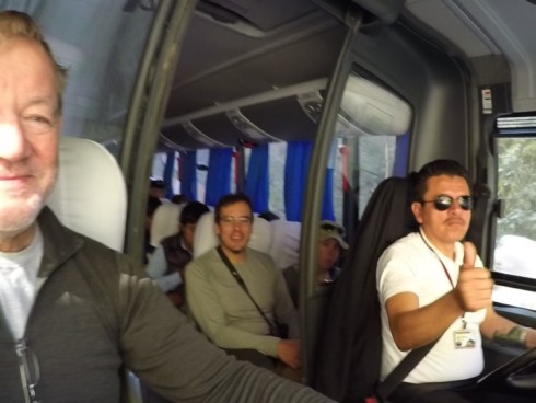
A hair raising ride up the mountain to the entrance of Macchu Picchu
After a hair raising ride up the mountain to the entrance of Macchu Picchu, I walked through the entrance to this holy, ancient Inca citadel, and made it to the intersection of the Sun Gate and the Machu Picchu Mountain Trail.
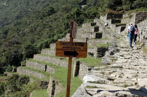
Montana Machu Picchu trail head
I signed in at the checkpoint at the base of Montana Machu Picchu.
I arrived at the check point at 9 AM where I had to check in and show my passport and permit. The nice lady explained that I have six hours to complete the climb, but “If you are not at the summit at 12 PM you must turn around and come back down.” The trek is supposed to take three hours or more, depending on one’s fitness. We had arranged for me to meet the rest of the group at 12 PM, so I had exactly three hours to make this 2,300 ft. climb, and return to Machu Picchu by Noon.
The going was fairly gentle for the first five minutes, and then became immediately steep. After the check-in hut the trail follows a fairly even ascent of about 30 – 35 degrees for about 1 hour.
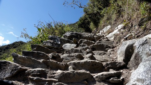
The going was fairly gentle for the first five minutes, and then became immediately steep
I made it to the halfway point in 55 minutes, so I was pleased with my progress. I took a two minute rest and drank some water, while admiring the amazing views of the valley below from this vantage point.
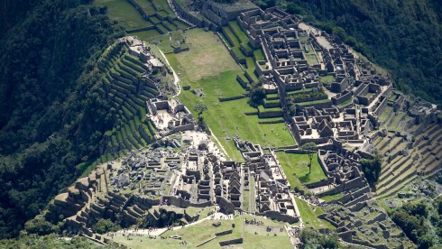
A spectacular view from this vantage point, about 1,000 feet up
Exactly at 10 AM I set of for the last half of the climb. Gradually and steadily gaining altitude, the views of Machu Picchu and the surrounding mountains become ever-more impressive.  The trail became steeper, the “steps” taller and narrower.
The trail became steeper, the “steps” taller and narrower.
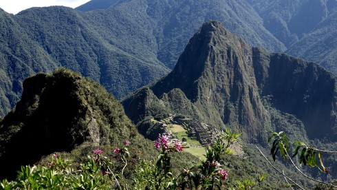
views of Machu Picchu and the surrounding mountains become ever-more impressive.
By now I was sweating profusely, and wondering if I could make the two-hour deadline to the top. Trekkers on their way down would quietly encourage one with, “almost there,” “it is worth it,” and “only 20 minutes more.” Total strangers in a common quest, supporting one another.
I was moving as fast as I could at the 10,000 ft. altitude, worrying if I would meet my deadline of 11 AM to the summit. Steps as high as my knee and as narrow as the width of my foot made the task no easier. Finally, sweating and exhausted, I saw the summit.
About 20 minutes to go. The trail winds along the side of the mountain, the summit directly behind me.
Winding on for another 15 minutes or so, the trail passed through a stone gateway before following the narrow mountain ridge to the summit.
At this point, as I was approaching the final steep steps to the summit, exhausted and panting from the exertion, an amazing thing happened.
My wife Katie’s mother, Grace Tharp was one of the most wonderful people in my life, and I felt as close to her as I did to my own mother. Grace Tharp was an avid gardener, and she loved butterflies. She said, “Happiness is like a butterfly. If you chase it, you may never find it. But if you just sit still for a few moments it may light upon you.” Grace died about 14 months ago.
As I approached the summit, suddenly, out of nowhere and unusual for this altitude, a swarm of butterflies appeared in front of me. “Hello, Mother,” I said, almost in tears, as I started feeling the familiar sensation of relief, gratification, and euphoria I have experienced at the summit of Kilimanjaro in Tanzania and both times I reached Everest Base Camp in the Himalaya.
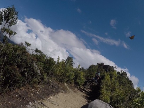
A butterfly taking off in flight after briefly landing on my nose to feast on the minerals of my sweaty skin
I sat down for a moment to collect myself as the butterflies swirled around my head, one of them briefly landing on my nose to feast on the minerals of my sweaty skin before taking off in flight.
Suddenly they were gone and I heard myself say, “I guess you were not going to stick around too long, but thank you for the sign, Mother!”
I picked myself up off my rock perch and started up the final couple hundred feet up to the summit, the steps steep and narrow.
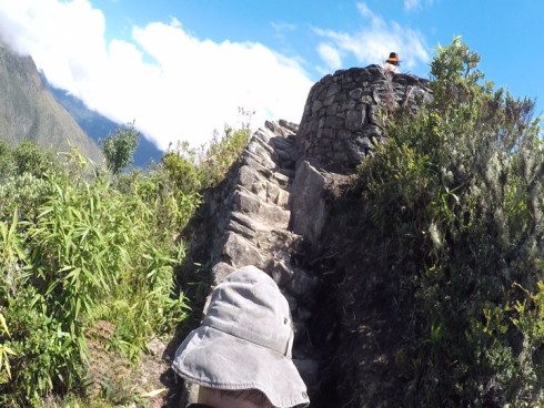
I started up the final couple hundred feet up to the summit,
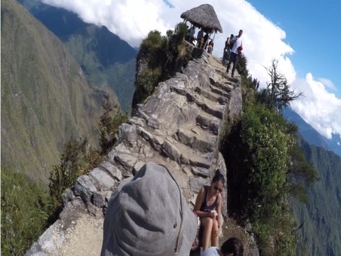
The drop-offs at this point are vertical for a thousand feet on both sides, the trail narrow; one pretty much climbs on the razor edge of the mountain leading to the summit.
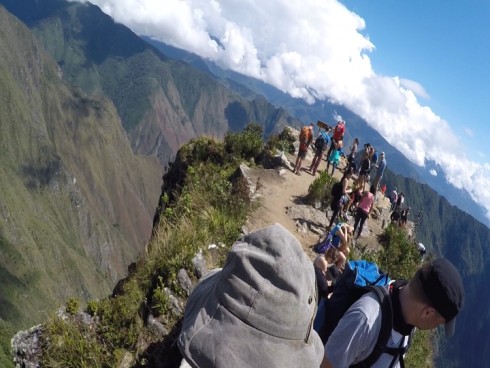
Final approach to the summit of Montana Machu Picchu
It was exactly 11 AM, the allocated time for my climb achieved. A worthy goal.
For the second time in as many days the view took my breath away. I walked to the edge of the very narrow summit, a two thousand foot drop right at my feet.
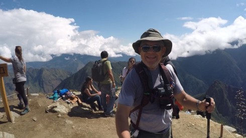
I walked to the edge of the very narrow summit, a two thousand foot drop right at my feet.
In the distance I could see Salkantay Apu, the clear morning sunlight reflecting off the now-capped peak.
3,000 ft. below me lay the Urubamba River valley, the gorge in the mountains carved over millions of years.
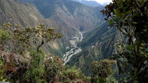
3,000 ft. below me lay the Urubamba River valley…
Directly below me, more than 2,200 ft. down, I saw the most spectacular view of the ancient citadel of Machu Picchu, the people exploring down there as small as ants. Behind Machu Picchu the famous mountain Huanya Picchu.
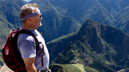
Directly below me, more than 2,200 ft. down, I saw the most spectacular view of the ancient citadel of Machu Picchu!
I panted for a while, composing myself, while enjoying the energy and the spirit flowing into me from the mountains surrounding Machu Picchu. In the words on John Muir, the care of the world fell off me like the leaves from trees in the autumn wind.
I spent about 20 minutes at the summit, lost in the euphoria of the view and sence of spiritual and physical accomplishment. With a start I realized that it was now 11:20, and I needed to meet my friends at the entrance at Noon.
I tore myself away from this scene, and started the trek down the mountain.
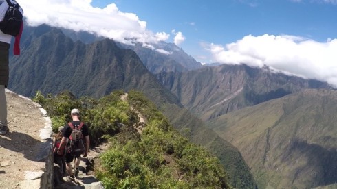
I tore myself away from this scene, and started the trek down the mountain
I have always liked downhill more than uphill – I love using my trekking poles almost as crutches, and enjoy the challenge of finding secure footholds at high speed. I literally “ran” down the mountain, finding the small steps, stepping on an uneven rock, avaoiding other slower trekkers. Nobody passed me on the downhill.
I made it down to check-in hut exactly at 12 PM, less than 45 minutes. I finally met up with my friends at the Sacred Rock, and joined theme, continuing the exploration of Machu Picchu which they had started about an hour earlier.
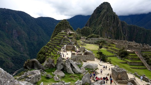
Arriving back at Machu Picchu at 12 PM, I joined my friends in exploring the site
From Peru Guide website
Time needed: 2h30 minutes accent, descent – 1h15, plus 30 minutes at the summit. 4 1/2 to 5 hours
Altitude of summit:Â 3,082 meters (10,111 feet) above sea level.
Height to climb from Machu Picchu: 652 meters (2,139 feet).
Terrain: Inca Trail stone path steps and in places grass/dirt.
Recommended footwear: Â Training shoes, light weight walking boots.
Entrance time: 7 – 11am.
Trail head: in the south-west of Machu Picchu citadel.
![]() Â Climbing Montana Machu Picchu
 Climbing Montana Machu Picchu
While I was making my way down Miontana maccu Picchu, our group started the Machu Picchu exploring tour.
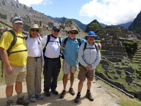
Dave, Dick, Jim Simon, Bill, and Jim Macklin at the start of the Machu Picchu tour               Photo by our guide, Thomas
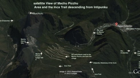
Satellite view of the Machu Picchu site Credit:Â Â Â Â Â Â Â Â Â Â Â Â Â Â Â Â Â Â Â Â Â Â Â Â Â Â Â Â Â Â Â Â Â Â Â Â Â Â Â Â Â Â Â Â Â Â Â Â Â Â Â Â Â Â Â Â Â Â Â Â Â Â Â Â Â Â Â Â Â Â Â Â Â Â Â Â Â Â Â Â Â Â Â Â Â Â Â Â Â Â Â Â Â Â Google Earth
Credit: Peru Guide website
Lost to the outside world for over 500 years and never found by the Spanish conquistadores, Machu Picchu is the finest example of an Inca citadel anywhere in Peru. Perched on a secluded mountain ridge on the edge of Peru’s Amazon Jungle, its many agricultural terraces and expertly crafted buildings and temples seamlessly merge into the mountainside.
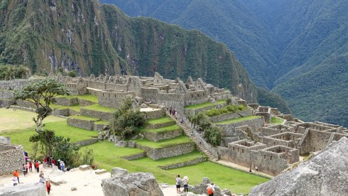
Photo Credit: Dick Alkire
A UNESCO World Heritage Site, a New Wonder of the World and simply one of the most beautiful places on the planet, Machu Picchu offers the best insight into a mysterious lost civilization and embodies everything about the mighty Inca Empire.
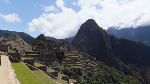
The Urban Sector                                                                                                                       Photo Credit: Jim Macklin
Built during the reign of Inca Pachacutec (1438 – 1471), Machu Picchu took some 30 years to construct. Due to limited historical information the true and original name of this epic Inca citadel is unknown. The name Machupicchu (written in English as Machu Picchu) was given to the citadel by Hiram Bingham after its scientific discovery in 1911. The name, a Quechua word, derives from the mountain that lies to the south-west of the citadel, and today it is widely accepted that that the name Machu Picchu translates as “Old Mountain.â€
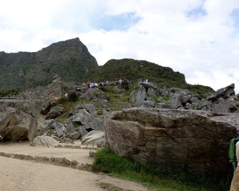
The view from below the Rock Quarry, Montana Machupicchu towering over the citadel
Machu Picchu covers a vast area of approximately 22.3 acres, and is constructed on a mountain ridge high above the Urubamba Valley.  Machu Picchu is split into two main sectors: the Agricultural Sector in the south and the Urban Sector in the north, of which both are roughly equal in size.
Granite stone was the main building material used in the construction of Machu Picchu, which was obtained from onsite quarries and others within close proximity. The Agricultural Sector is largely made up of row after row of stepped terraces and store houses, whilst the Urban Sector is made up of streets, corrals, kanchas, storehouses, lodgings and impressive temples. The finest Inca construction techniques were reserved for the Royal Quarter; the best examples are found at the Sacred Plaza, the Temple of the Sun and the Temple of the Moon.
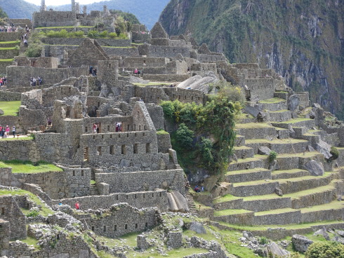
The Urban Sector                                                                                                                                  Photo Credi:; Bill Riat
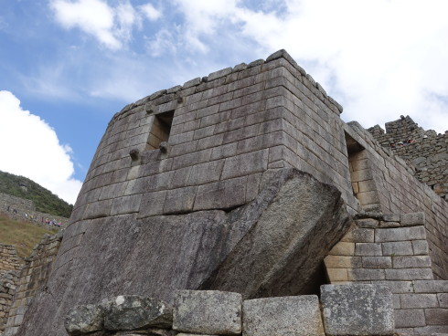
The Temple of the Sun                                                                                                        Photo Credit: Bill Riat
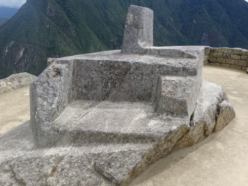
The Itiwatane (Solar Clock) in the Sun Temple of the Sun                                                       Photo Credit: Bill Riat
It’s not known precisely how many people lived at Machu Picchu, but historians estimate that the population was between 1000 – 1200 people.
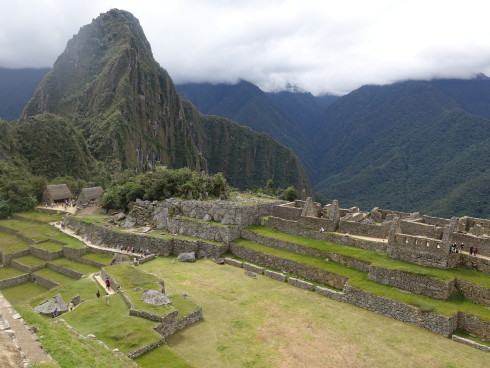
During archaeological excavations in 1912 a total of 107 burial caves situated around the Inca city were found. Archaeologists under the direction of Dr. George Eaton recorded 164 human skeletons, of which a disproportionately high number were adult females. In recent years medical experts claim that the methods used to determine sex and age of the skeletons during the original expedition where not highly sophisticated, leading to debate about the actual findings.
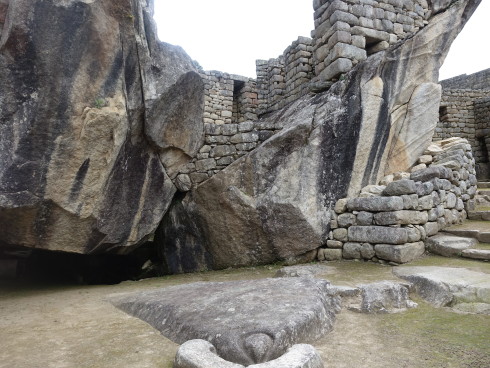
The Temple of the Condor
The Rock Quarry
Between 1537 – 1545, as the small Spanish army and its allies started to gain ground over the Inca Empire, Manco Inca abandoned Machu Picchu, fleeing to safer retreats. The residents took with them their most valuable belongings and destroyed Inca trails connecting Machu Picchu with the rest of the empire.  Machu Picchu was never found by the Spanish, and subsequently was left untouched, lost to the dense Amazon Jungle for the next 5 centuries.
On the morning of July 24, 1911, Hiram Bingham the young Yale University lecturer and explorer s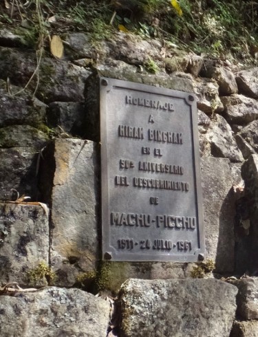 tumbled upon the Inca City of Machu Picchu. Led by a local pheasant famer Melchor Arteaga and a young boy called Pablito, Hiram Bingham was taken to the sprawling Inca citadel, hidden below a blanket of dense Amazon Jungle. Incredibly Machu Picchu was initially overlooked by Bingham, spending only a short time at the citadel before continuing his expedition to find the last known stronghold of the Incas – the city of Vilcabamba. Although Hiram Bingham was the first to really bring Machu Picchu to the world’s attention, evidence shows that other explorers had arrived at Machu Picchu many years before. In 1874 the German explorer Herman Göhring registered the citadel on his expedition map. Later, in 1901 Agustin Lizarraga left his name engraved on a wall of the three Windowed Temple, which was recorded as part of Hiram Bingham’s findings, but later omitted from his memoirs.
In 1912, The National Geographic and Yale University led my Hiram Hingham organised an excavation of Machu Picchu. With support from the Peruvian Government and help from local hired labour, Bingham set about to unveil the hidden secrets of the Inca city.  Starting in strategic locations around the citadel, they opened tombs, recovered important structures from the heavy jungle growth, made archaeological digs and photographed the area.
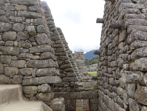
Although the excavations were extensive, very little of great importance was found. Thousands of small articles were recovered including pieces of pots, plates, jugs cups and vases. Lithic materials found included hundreds of hammer stones, mortars, grinders and polishing stones. Due to the degradation from the humid climate little clothing or fabrics where recovered. No hierarchical mummies were discovered, with only tomb number 26 located on the trail to Inti Punku yielding significant importance. Many of the articles recovered from Machu Picchu were later (rightly or wrongly) shipped to Yale University in the USA, where further scientific examinations were carried out. In recent years, after a high profile campaign by the Peruvian government, most of the items have now been returned to Peru and are on display at La Casa Concha Museum in Cusco’s historic centre.
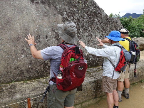
Getting positive energy from The Sacred Rock                                       Photo Credit: Dick Alkire
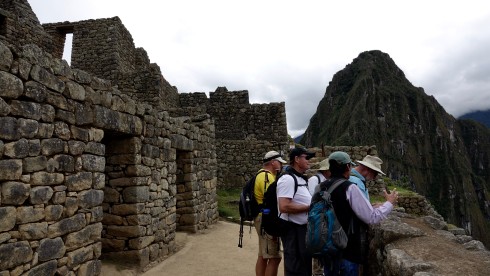
The Astronomical Mirrors Room
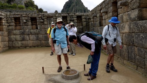
The Astronomical Mirror was used to study the night sky
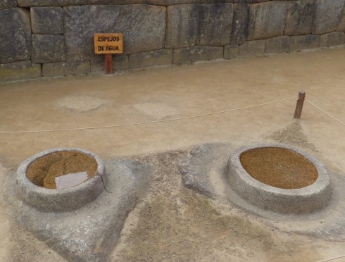
The Astronomical Mirrors were used to study the night sky
Today, this epic Inca citadel is one of South America’s (if not the world’s) greatest archaeological sites. In 1981, Machu Picchu was declared a Peruvian Historical Sanctuary and later in 1983, it became a UNESCO World Heritage Site.
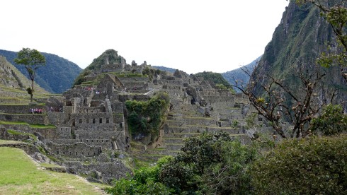
Official tourism figures for 2015 showed that Machu Picchu received over 700,000 international and national visitors, peaking during the months of June and July. Currently the Peruvian government has set a limit of 2,500 entrance tickets per day, but international interest is increasing at a rapid rate, with tourism figures growing by approximately 10% year on year. Worries over the environmental impact from over exploitation by tourism is a growing challenge for the future of Machu Picchu and indeed tourism in Peru.
Source: The Only Peru Guide
We had a late lunch, and stood in a huge line to catch the bus back to Machu Picchu Pueblo for our last night at the Inketerra Machu Picchu Pueblo hotel.
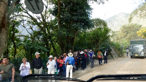
![]() Return to Cusco and Corpus Christi Festival Parade
Return to Cusco and Corpus Christi Festival Parade
We caught the 8 AM train back to Ollantaytambo. The Inca Rail train was very comfortable. Their website invites one to ” EXPERIENCE THE MAGIC OF TRAIN TRAVEL: Treat yourself to a journey in harmony with mystical Machu Picchu. Ornately decorated carriages with comfortable seats designed for your enjoyment of the landscape through panoramic windows en route to and from the age-old Inca citadel.  The train offers “comfortable seats with tables in front to share the journey with friends or family, ample windows to admire the stunning countryside, relaxing background music, and an appetizing selection of cold and hot drinks, prepared using fresh fruit juice and Andean herbs.” – Inca Rail website.
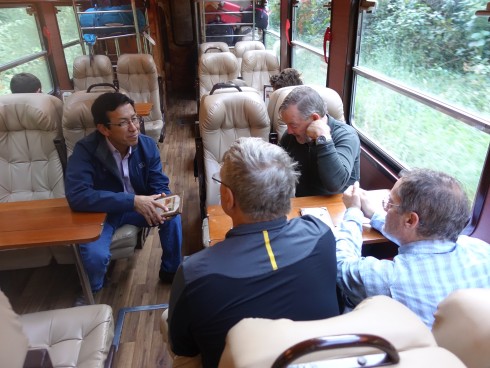
The Inca Rail train was very comfortable.                                                                                        Photo Credit: Bill Riat
After about two hours of traveling through stunning scenery we arrived back at Ollantaytambo where we were met by our driver, Wasi, for the two-hour trip back to Cusco.
About 15 kilometers from Cusco, the road was suddenly blocked by officials. Our van happened to be the first to be stopped. This was fortunate, since it gave us a VIP-ringside seat to the start of the Corpus Christi Festival parade.
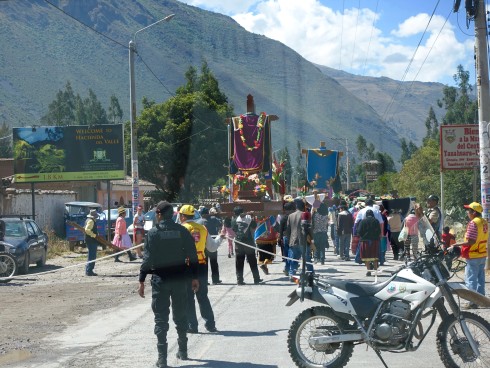
We got out of the van, and in seconds we were immersed in the parade and festivals as thundreds, no, more like thousands of costumed dancers, passed by, with many well-decorated people carrying floats and large images of the 15 patron saints of Peru down the main highway. They were on their way to the major celebrations in Cusco, singing, dancing, and leading and following band after band as they pass by.
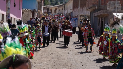
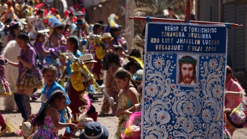
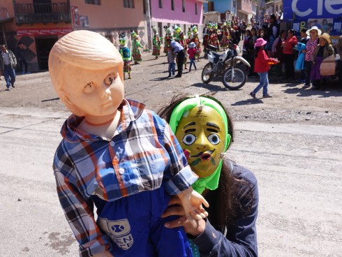
Photo Credit: Bill Riat
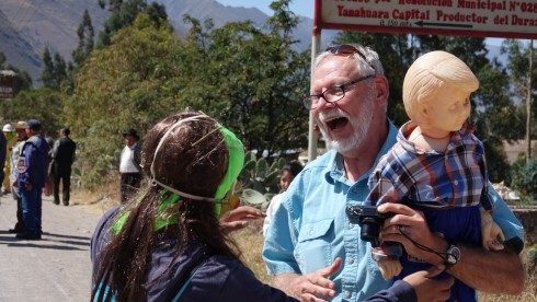
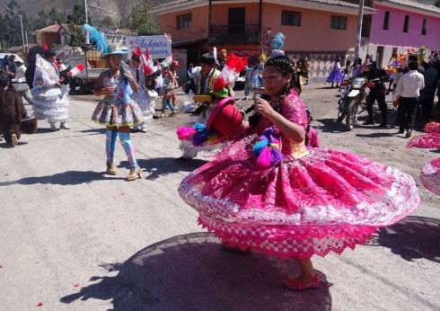
What a wonderful bonus to be so fortuitously entertained by the wonderful, friendly Peruvians on their special festival day!
We made it to Cusco mid-day, had a wonderful lunch, and took the rest of the day easy.
Tomorrow we fly to Puerto Muldonado for a few days in the Amazon Rain Forrest.
Founded in Namibia in 1990, the Cheetah Conservation Fund (CCF) is the global leader in research and conservation of cheetahs. CCF is dedicated to saving the cheetah in the wild.
The vast majority of wild cheetahs are outside protected areas, in areas populated by humans. Saving this magnificent animal from extinction requires innovative conservation methods that address the welfare of both cheetah and human populations over large landscapes. CCF has developed a set of integrated programs that work together to achieve this objective. CCF’s programs have effectively stabilized and even increased the wild cheetah population in Namibia.
CCF’s mission is to be the internationally recognized center of excellence in the conservation of cheetahs and their ecosystems. CCF will work with all stakeholders to develop best practices in research, education, and land use to benefit all species, including people.
CCF is an international non-profit organization headquartered in Namibia, with operations in the United States, Canada, and the United Kingdom, and partner organizations in several other nations.
This was one of the most fantastic evenings Katie and I have experienced at our home!
In the beginning of January, 2016, shortly after we returned to South Africa from Botswana where I filmed a terrific experience as we watched a mother Cheetah teach her four offspring to hunt (See my short video clip on ![]()  – blog and full Mashatu experience to follow) I received an email from Suzy Lucci at the Columbus Zoo asking if Katie and I would be interested in hosting a reception and educational evening for Brian Badger, Operations Manager of the Cheetah Conservation Fund in Namibia. We jumped at the opportunity and had a lovely evening, with Brian sharing amazing tales of conservation, cooperation, and education in Namibia.
 – blog and full Mashatu experience to follow) I received an email from Suzy Lucci at the Columbus Zoo asking if Katie and I would be interested in hosting a reception and educational evening for Brian Badger, Operations Manager of the Cheetah Conservation Fund in Namibia. We jumped at the opportunity and had a lovely evening, with Brian sharing amazing tales of conservation, cooperation, and education in Namibia.
Please take the time to review the very informative website for The Cheetah Conservation Fund, particularly the introduction from Dr. Laurie Marker, Founder and Executive Director of CCF.
Dr. Laurie says:
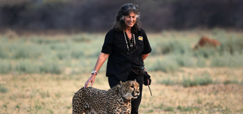
Dr. Laurie Marker, Founder and Executive Director of CCF
We had a wonderful evening with friends, new and old, and learned from Brian Badger how import the mission of CCF.
Enjoy the photos below, and go to the CCF website if you feel moved to make a contribution to help support the important work the Cheetah Conservation Fund does in Namibia and indeed elsewhere in Africa.
We are indebted to Suzy Rapp and the Columbus Zoo staff for giving us the opportunity to host such a wonderful evening on behalf of the Columbus Zoo and CCF.
Suzi Rapp was born and raised in Columbus, Ohio. She is a graduate of Upper Arlington High School. She attended Ohio University and earned bachelor’s degrees in Health and Human Sciences and Education. She began her career at the Columbus Zoo over 29 years ago in the Education Department. While she was a part of this department she designed many of the Education programs still used at the zoo today. In 1987 she developed the Promotions Department to accommodate the demands of up and rising conservationist, Jack Hanna. During her time in this department she has raised over 200 animals.
She is currently the Director of the Animal Programs department where she coordinates all the animals that travel out of the zoo for Jack Hanna’s programs and community outreaches. Recently she has worked to develop the new exhibit, Animal Encounters Village that brings animals up close and personal with visitors at the Columbus Zoo. She was also a key person in bringing the new Joel Slaven Animals on Safari show to the zoo.
Suzi is an untiring ambassador for Cheetahs around the world.

Suzi Rapp with Jungle Jack Hanna
Below are a few photos of the evening. Just click on an image for a larger version of the thumbnail, from where you can then just click on the Next button to advance the slides.
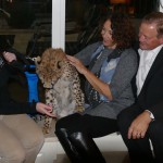

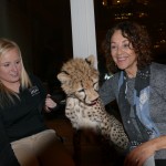

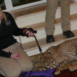

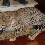


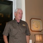
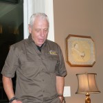
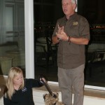
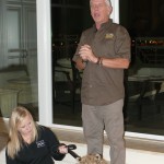
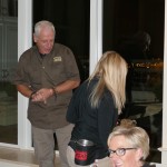
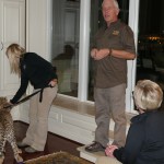
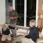
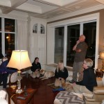


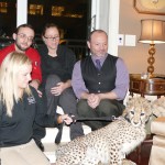
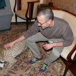
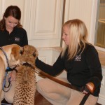

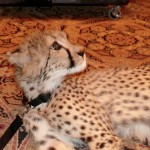
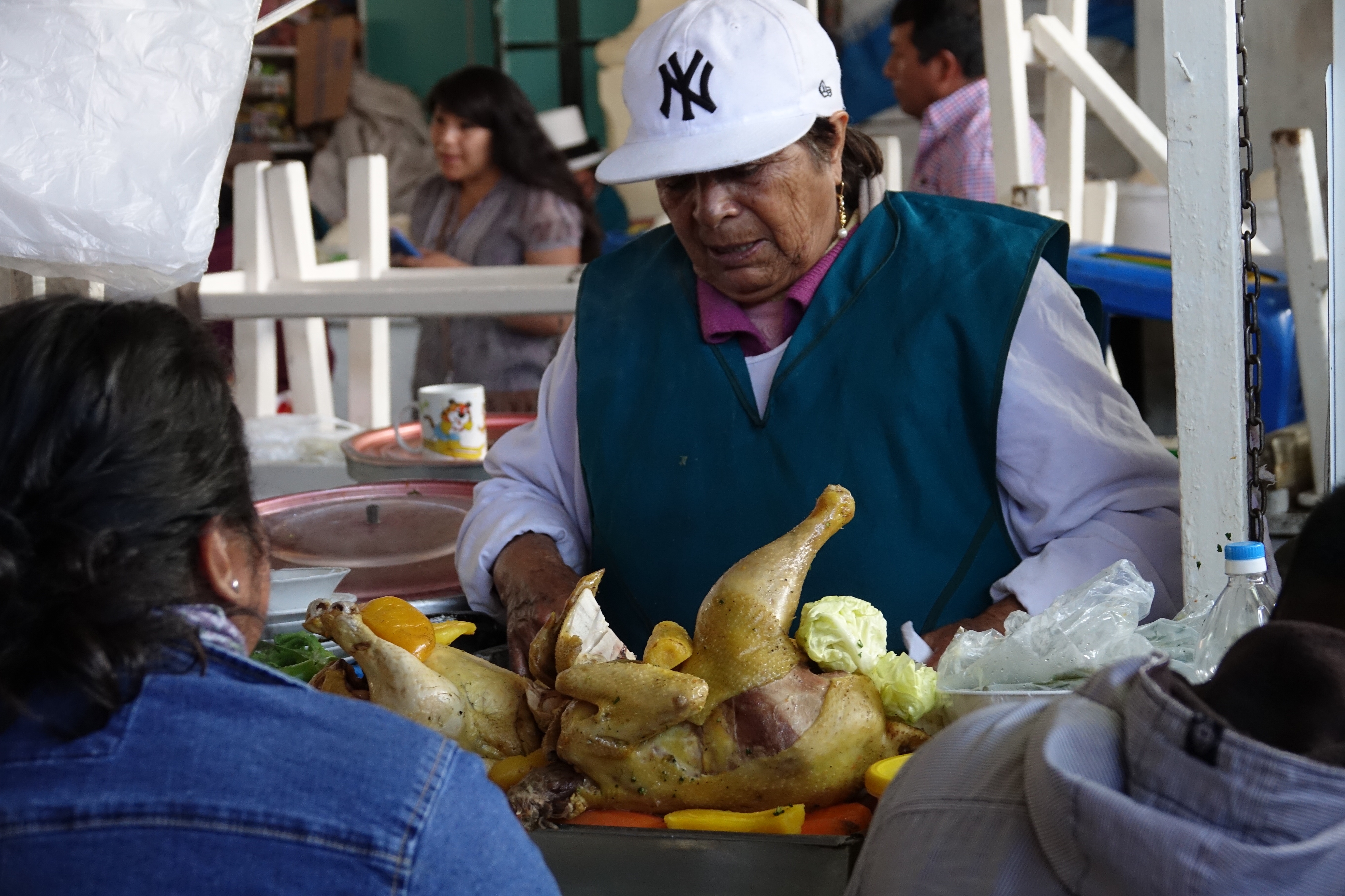
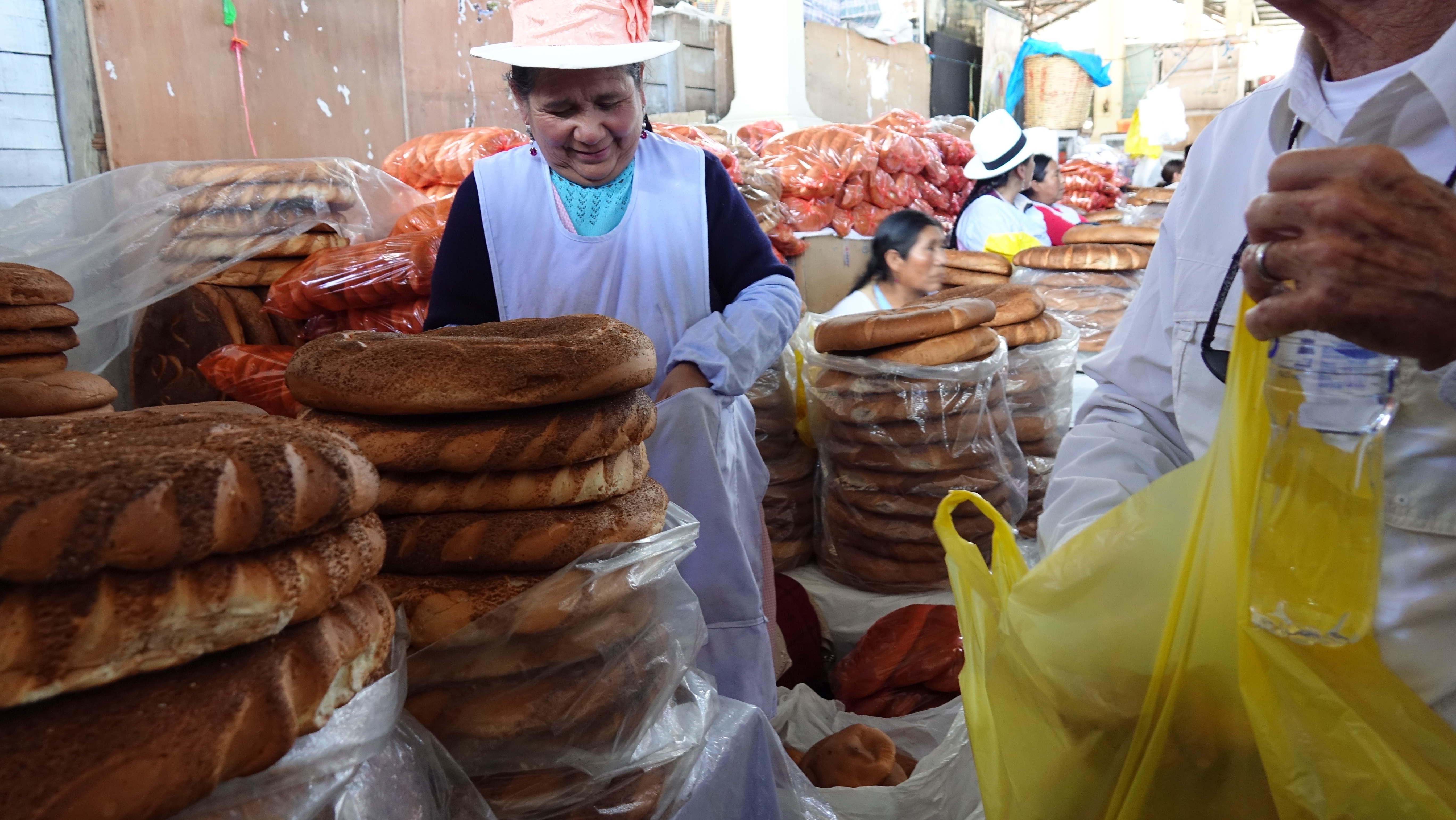
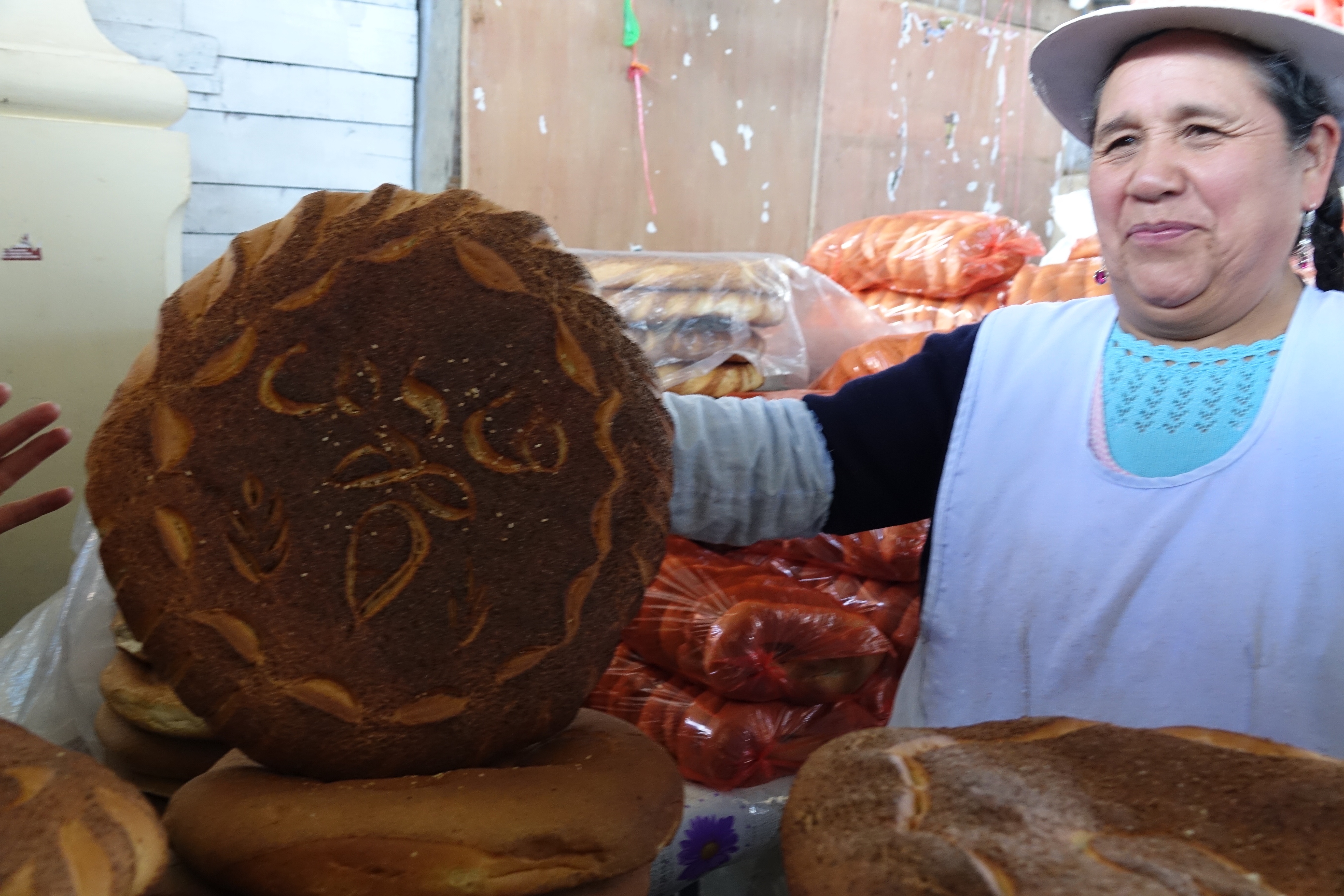
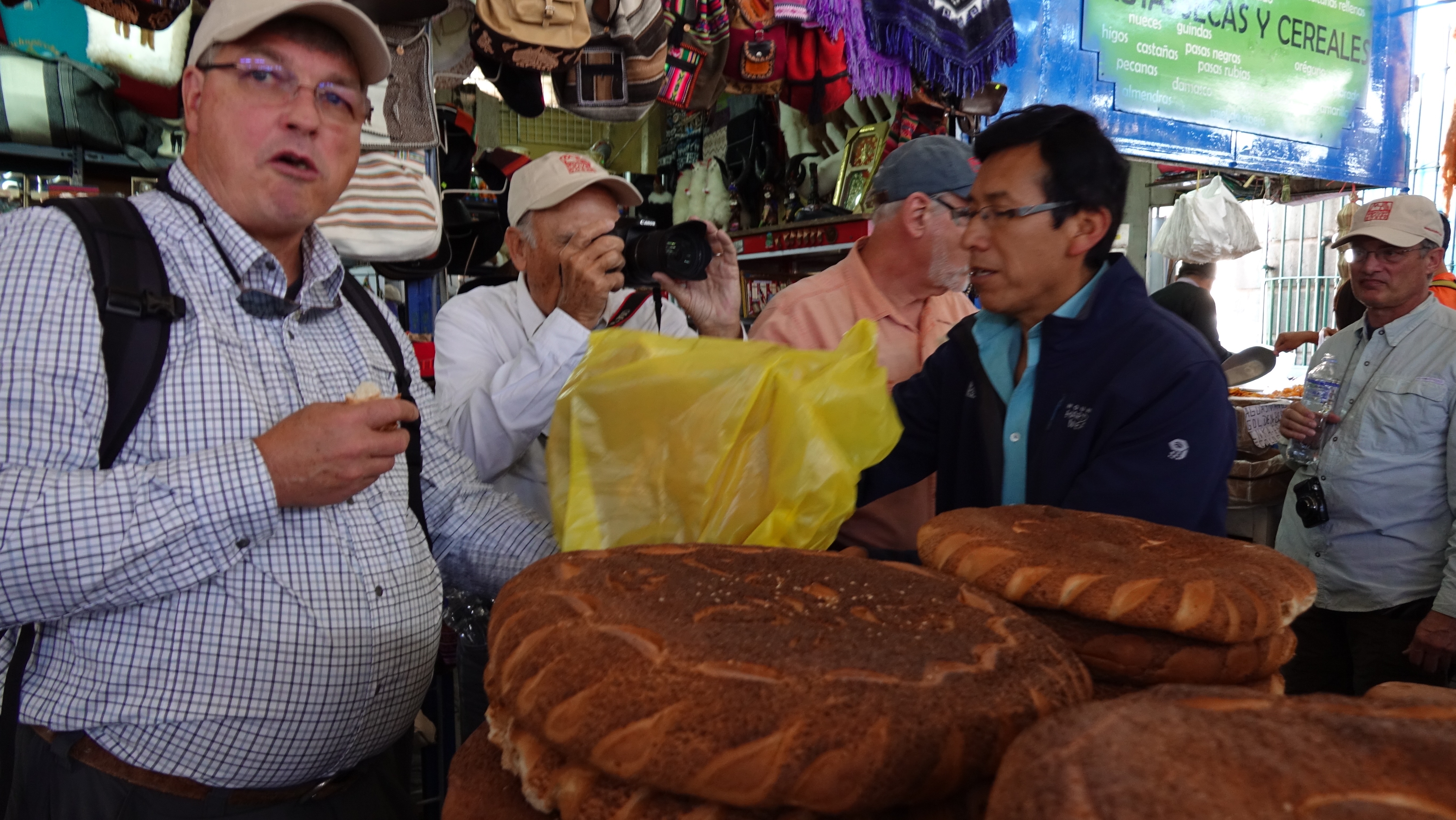
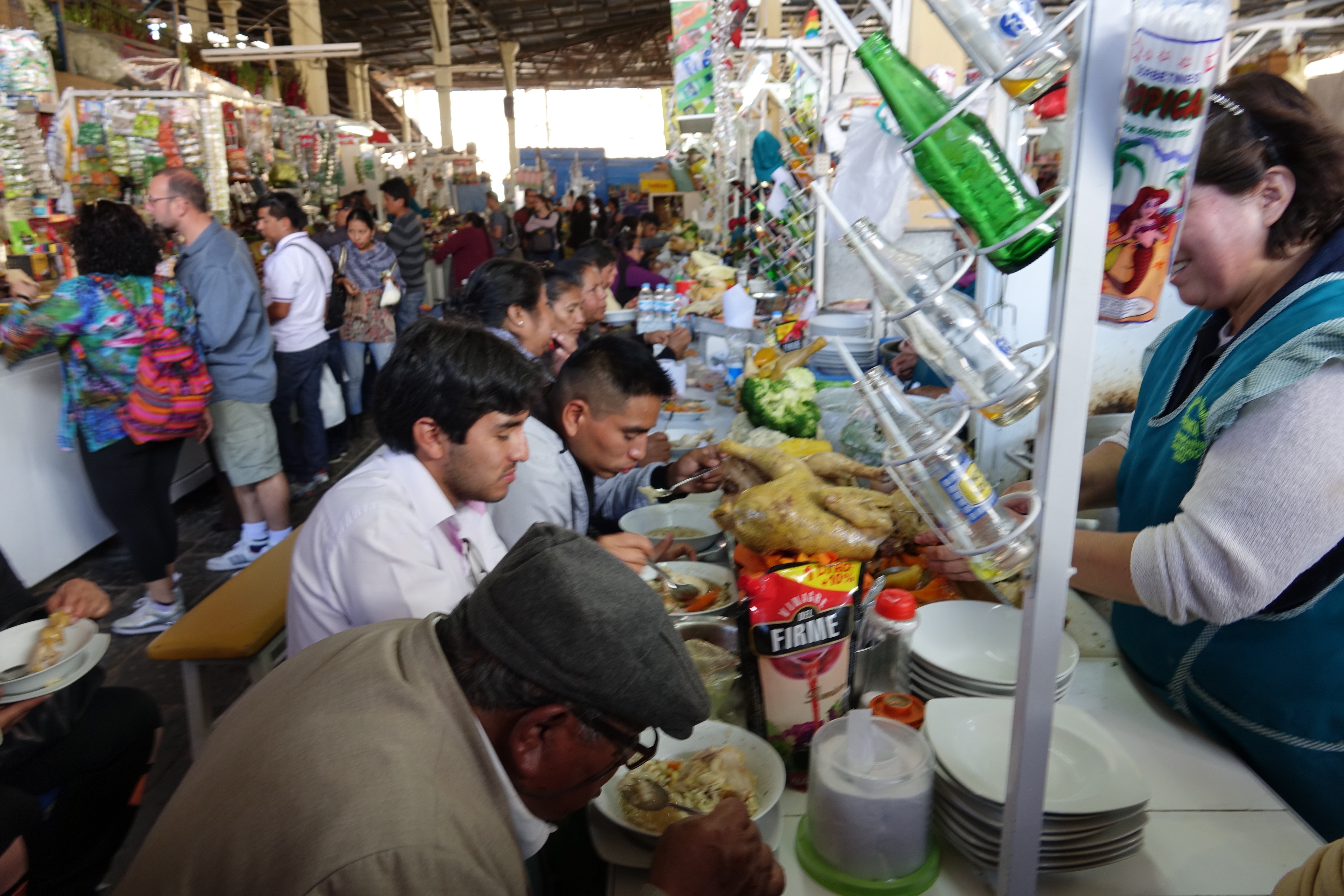
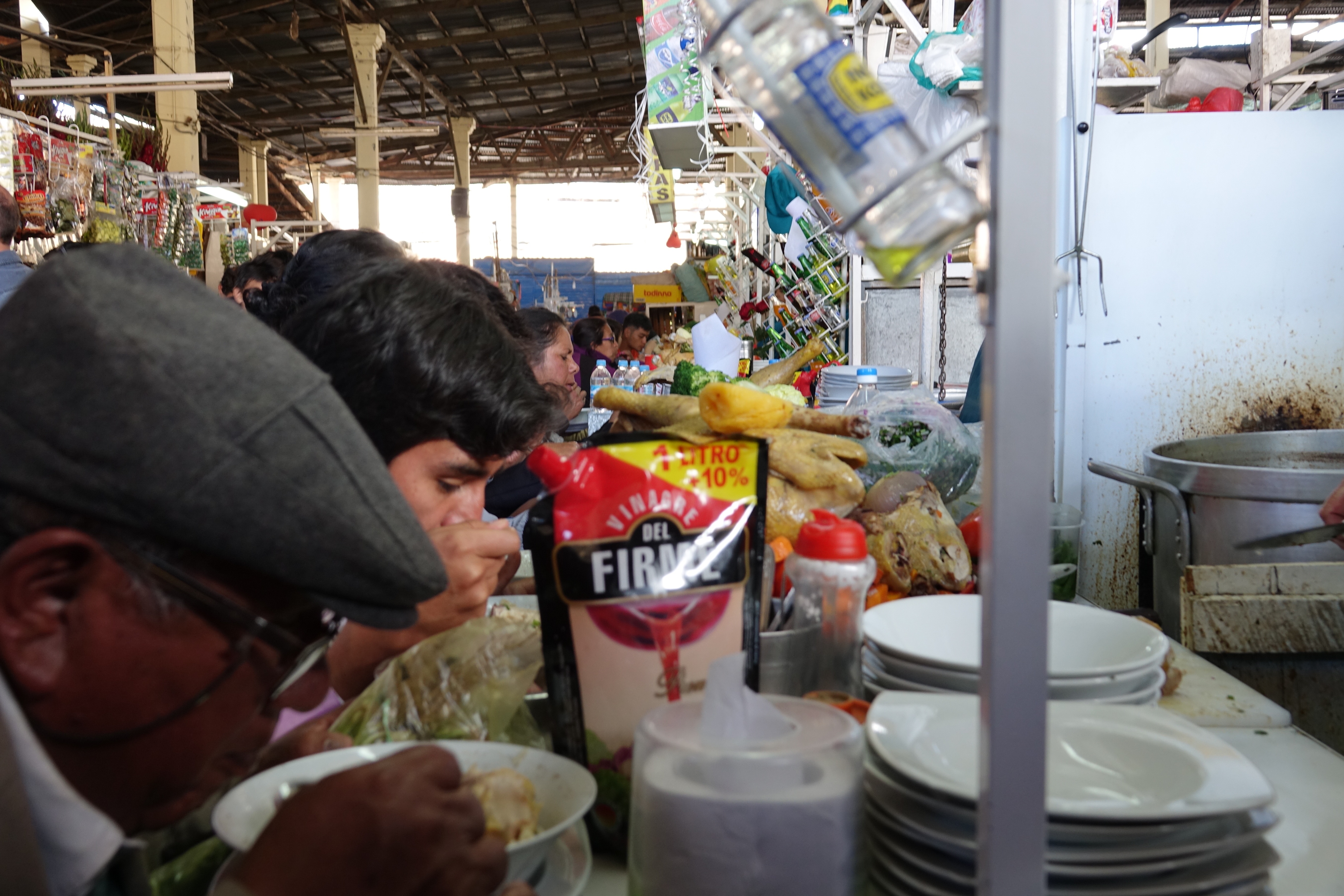
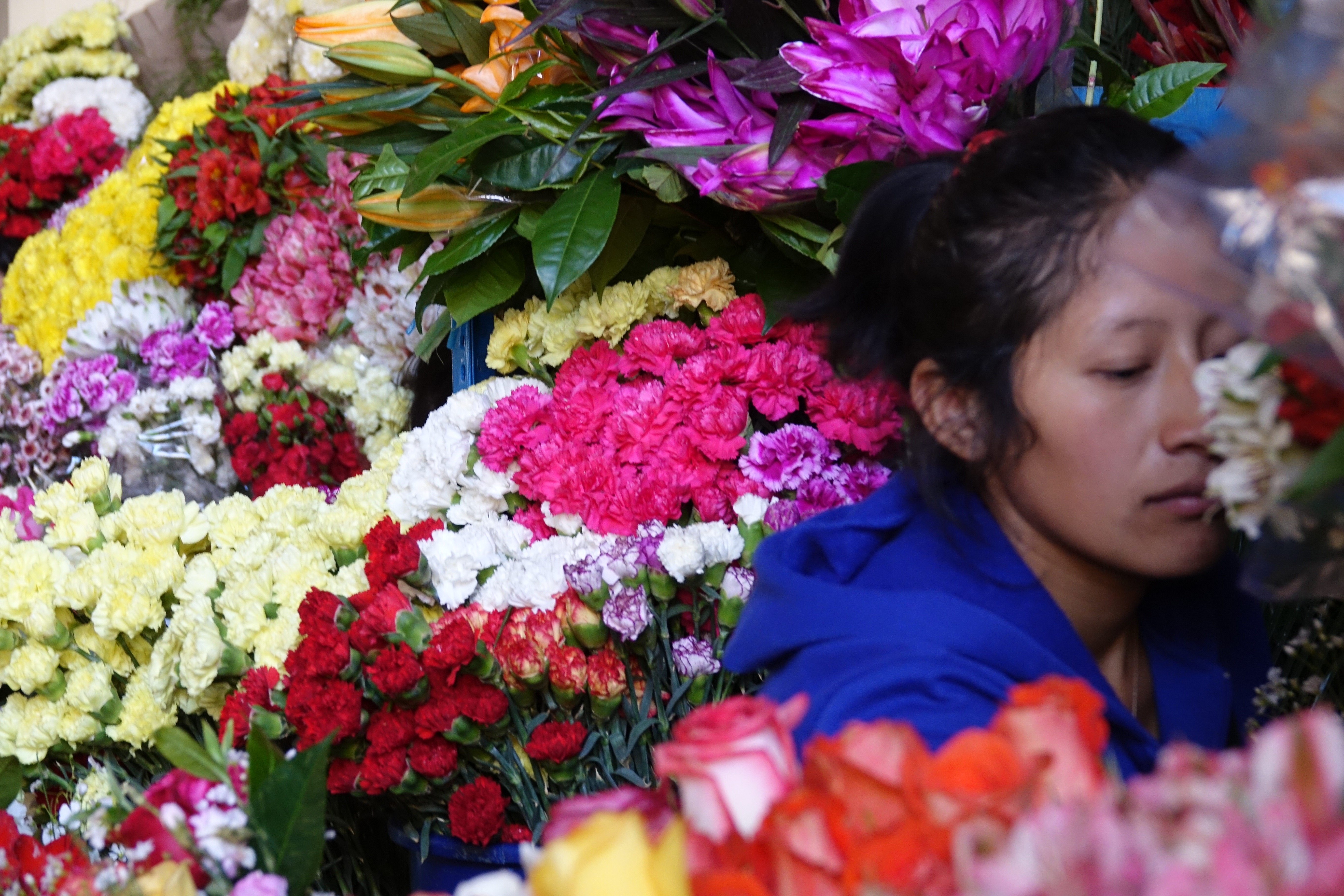
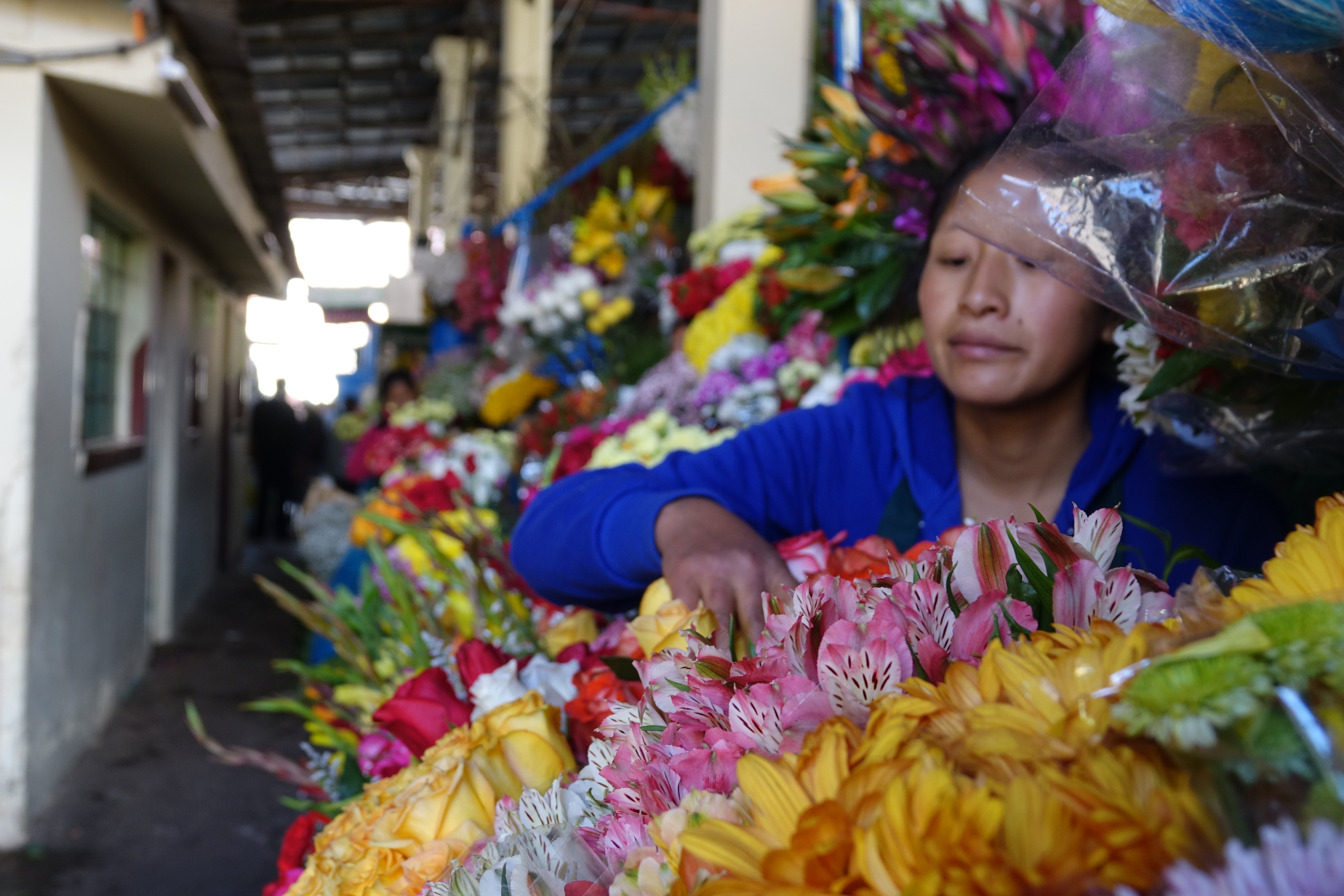
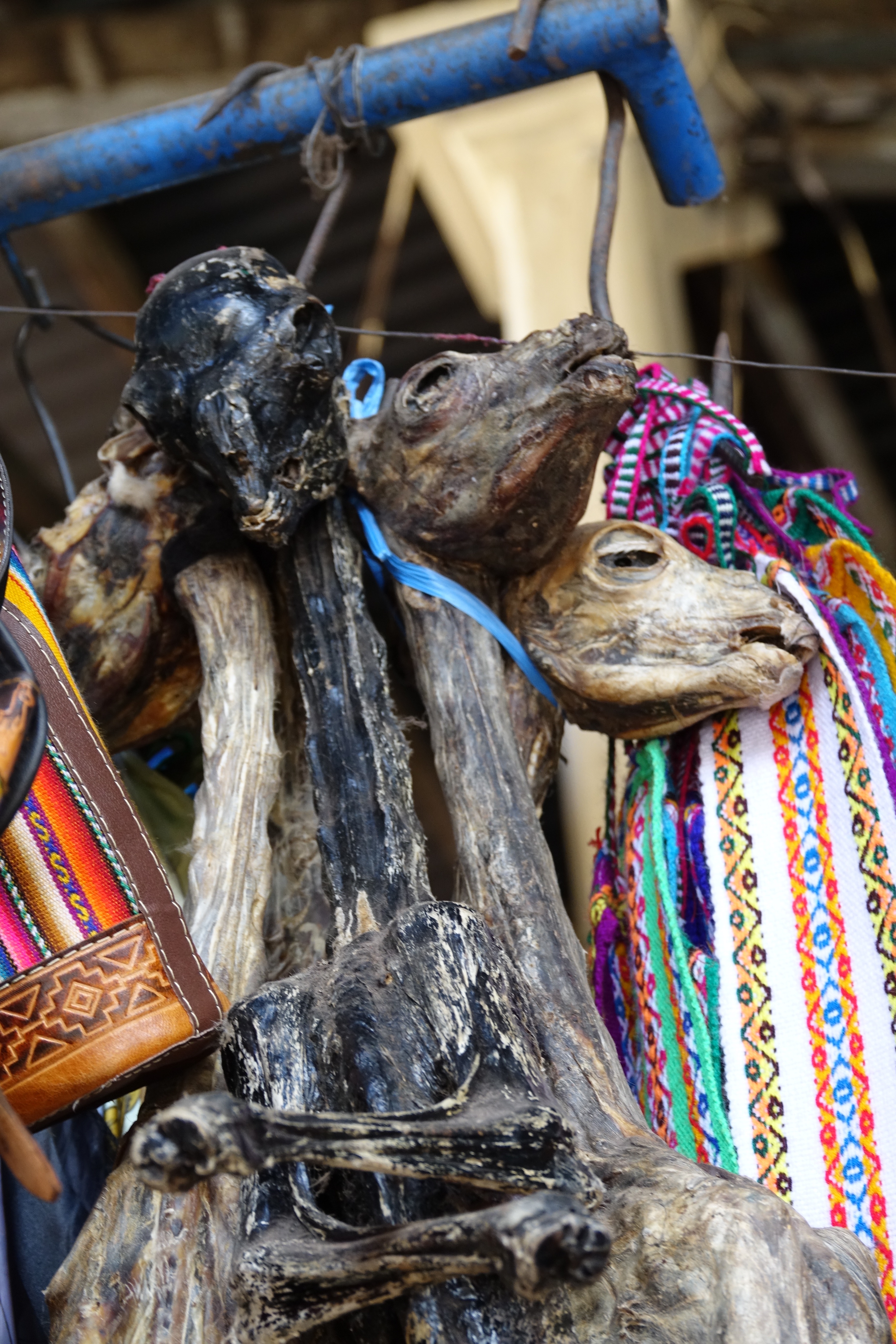
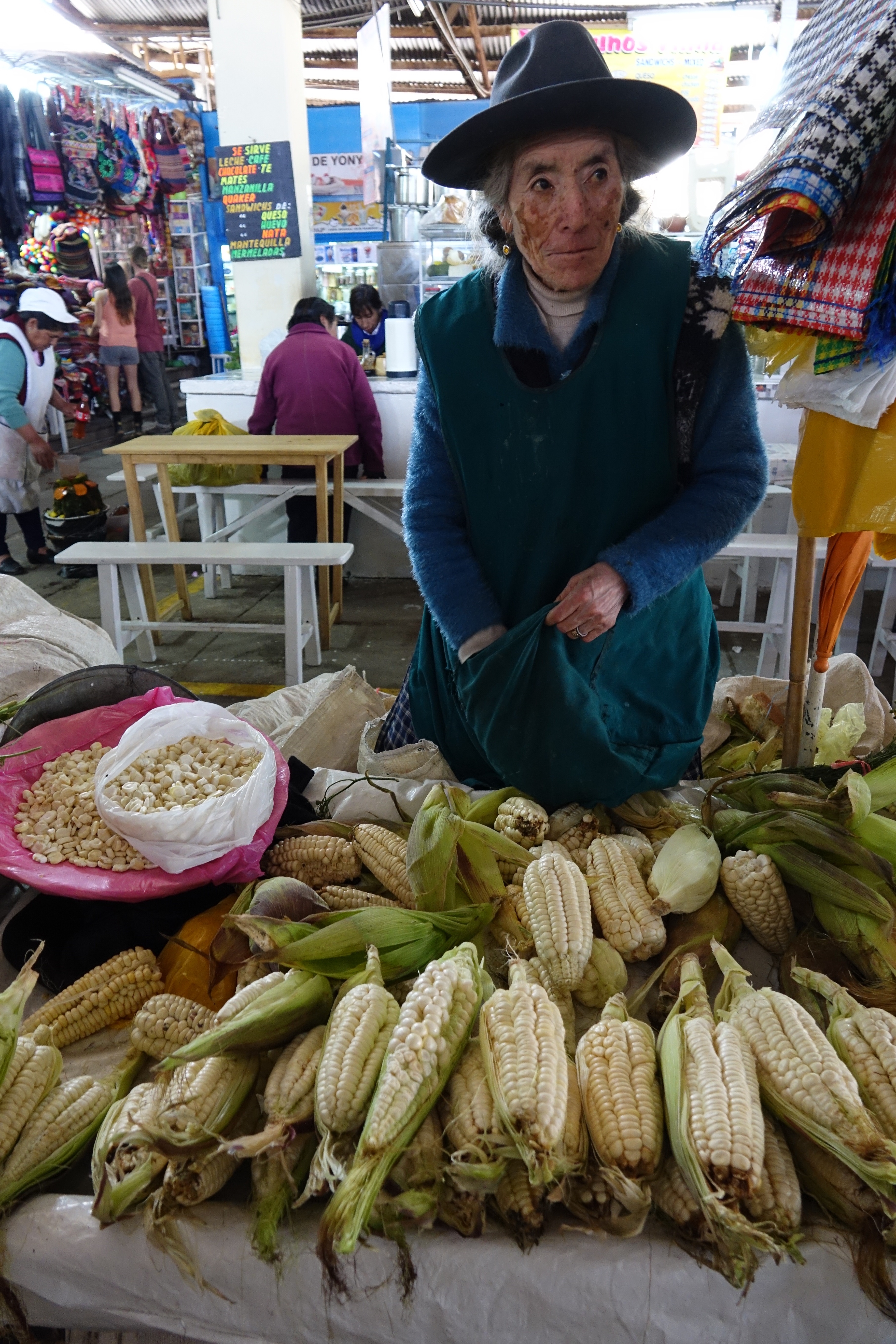
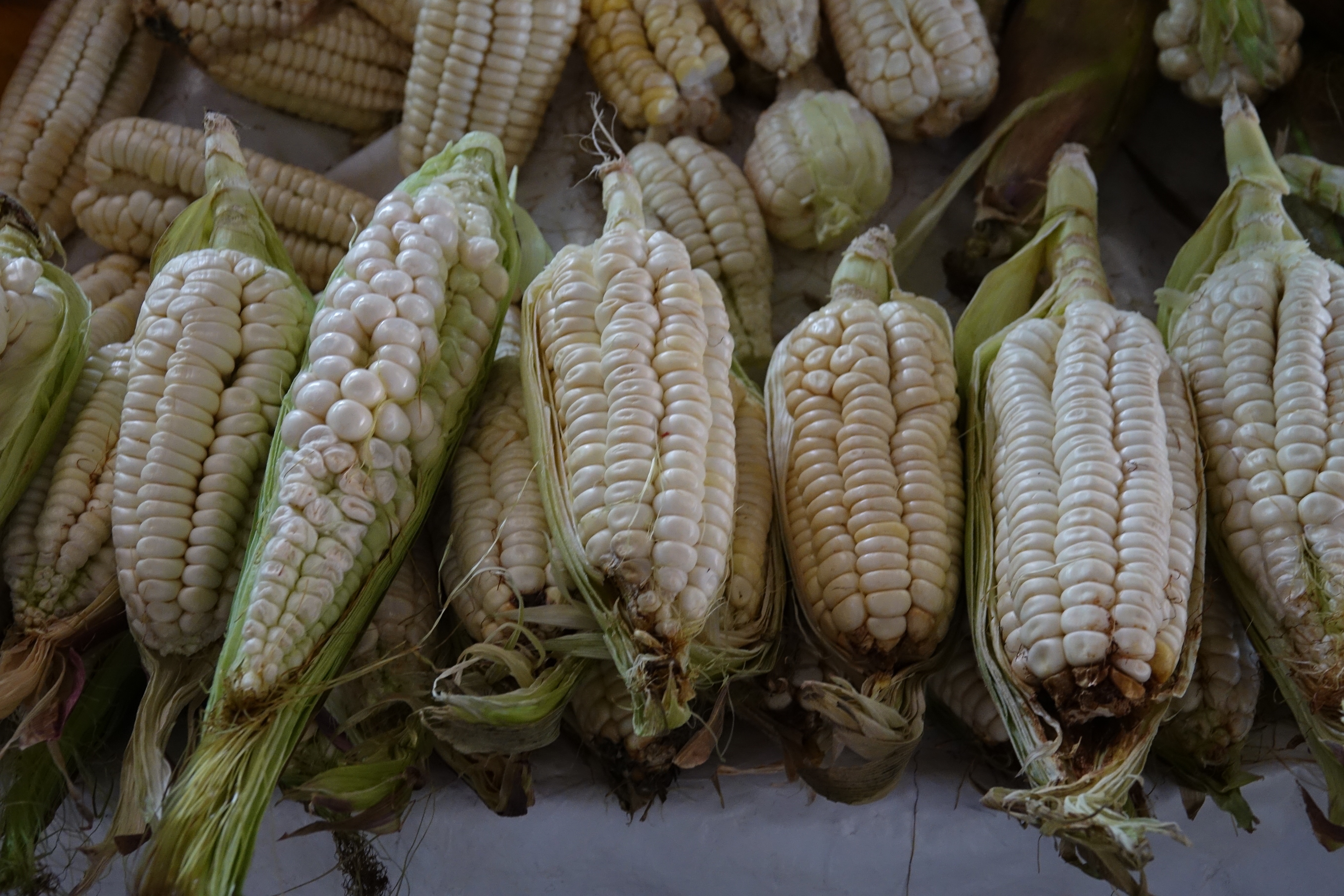
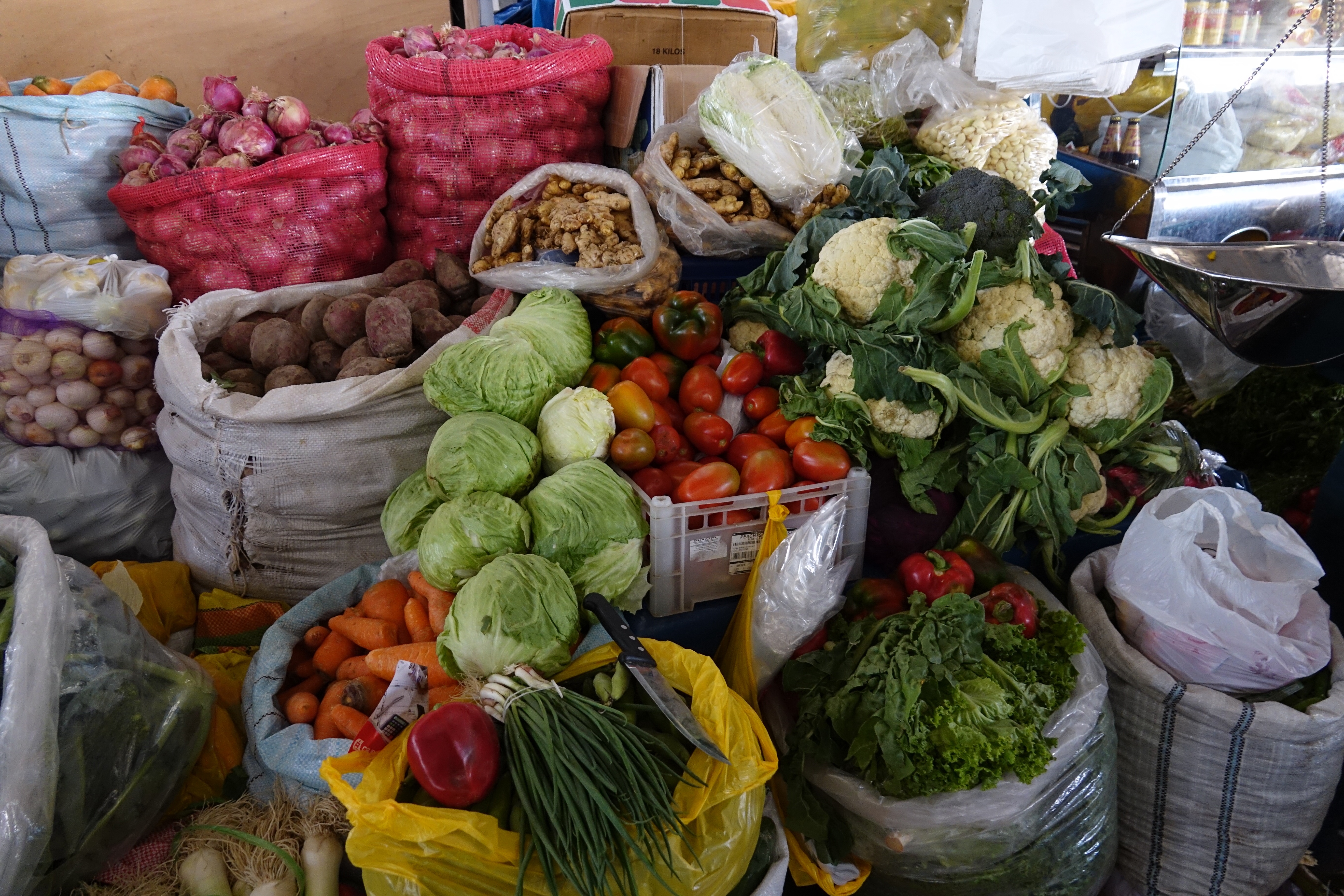
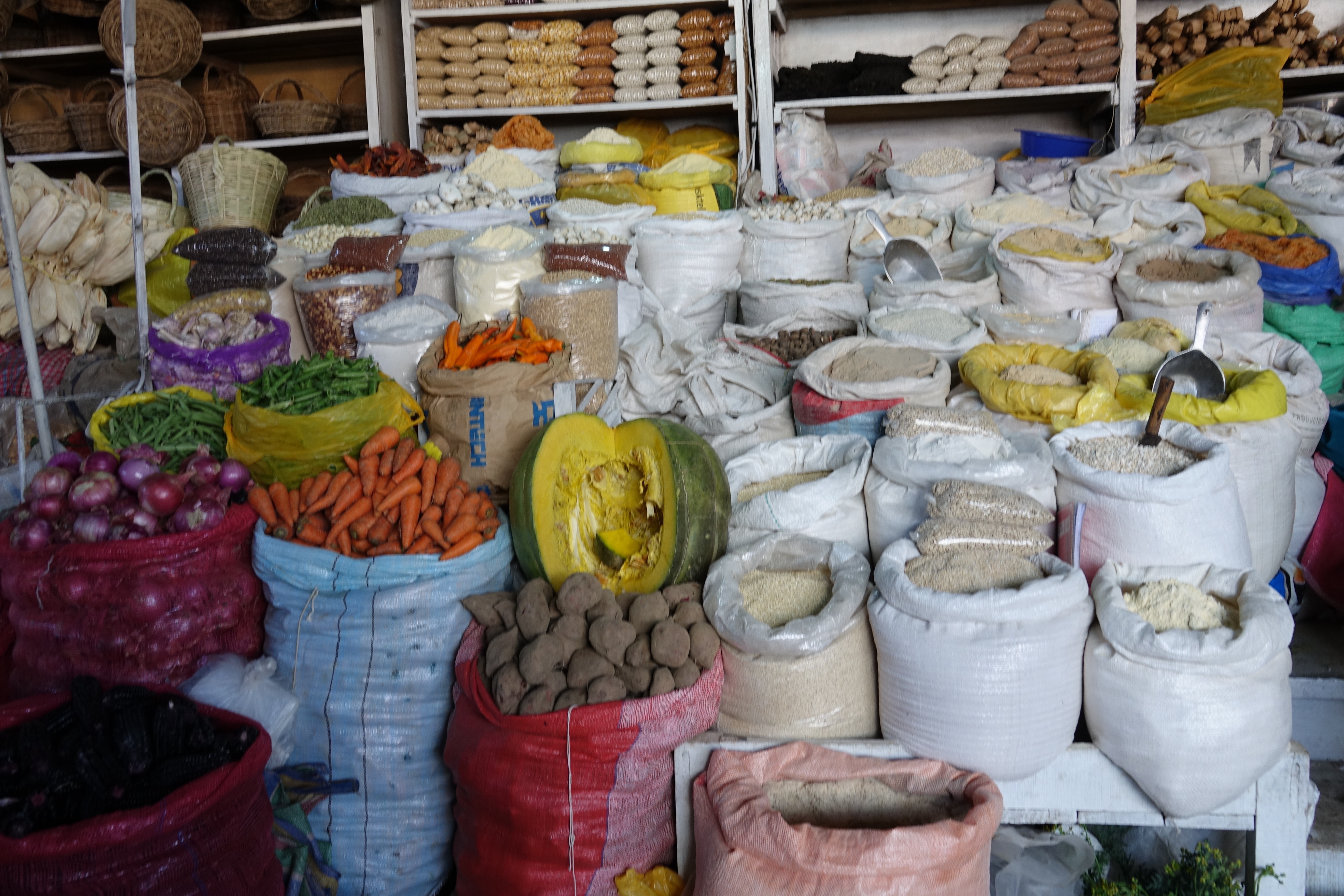
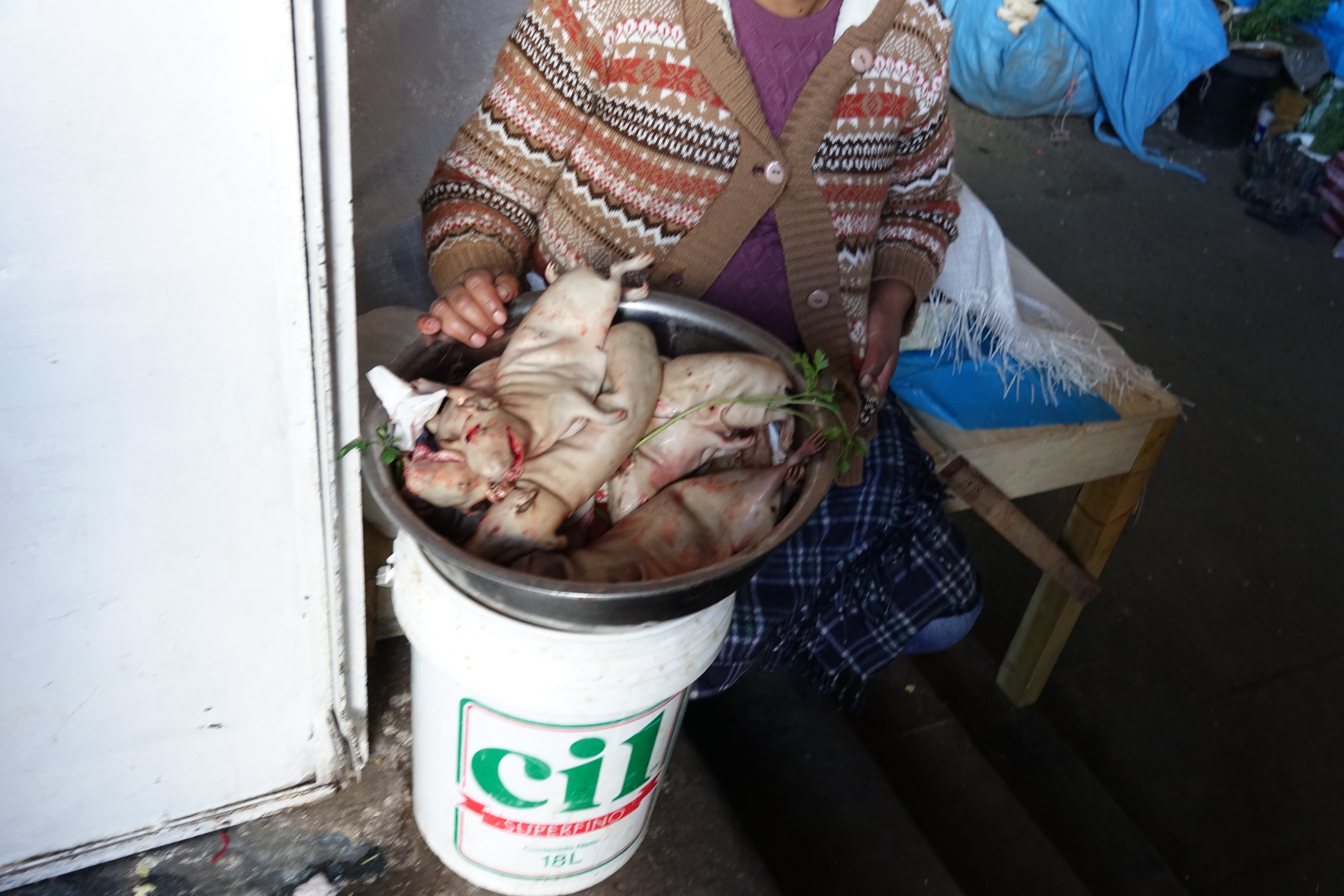
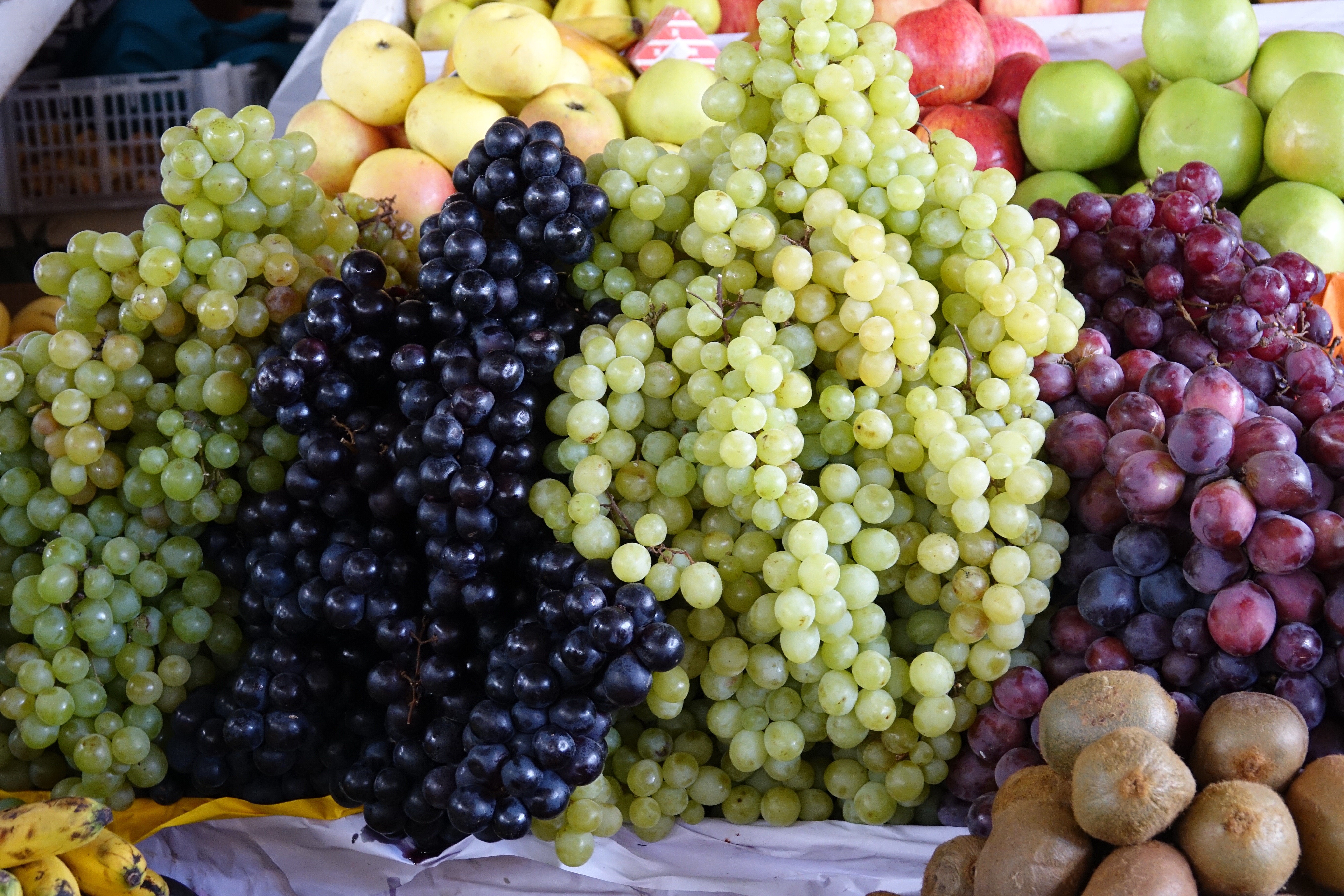
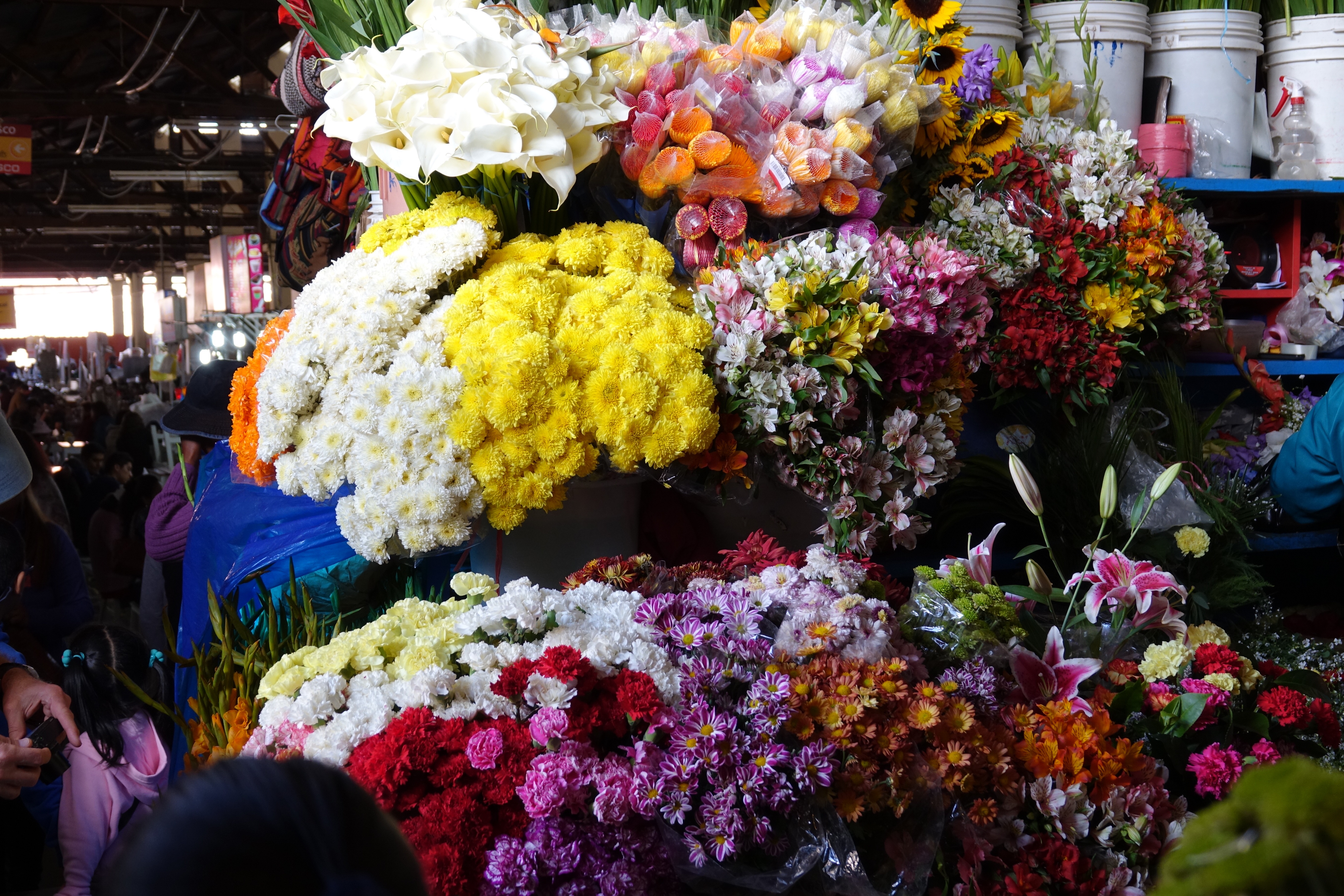
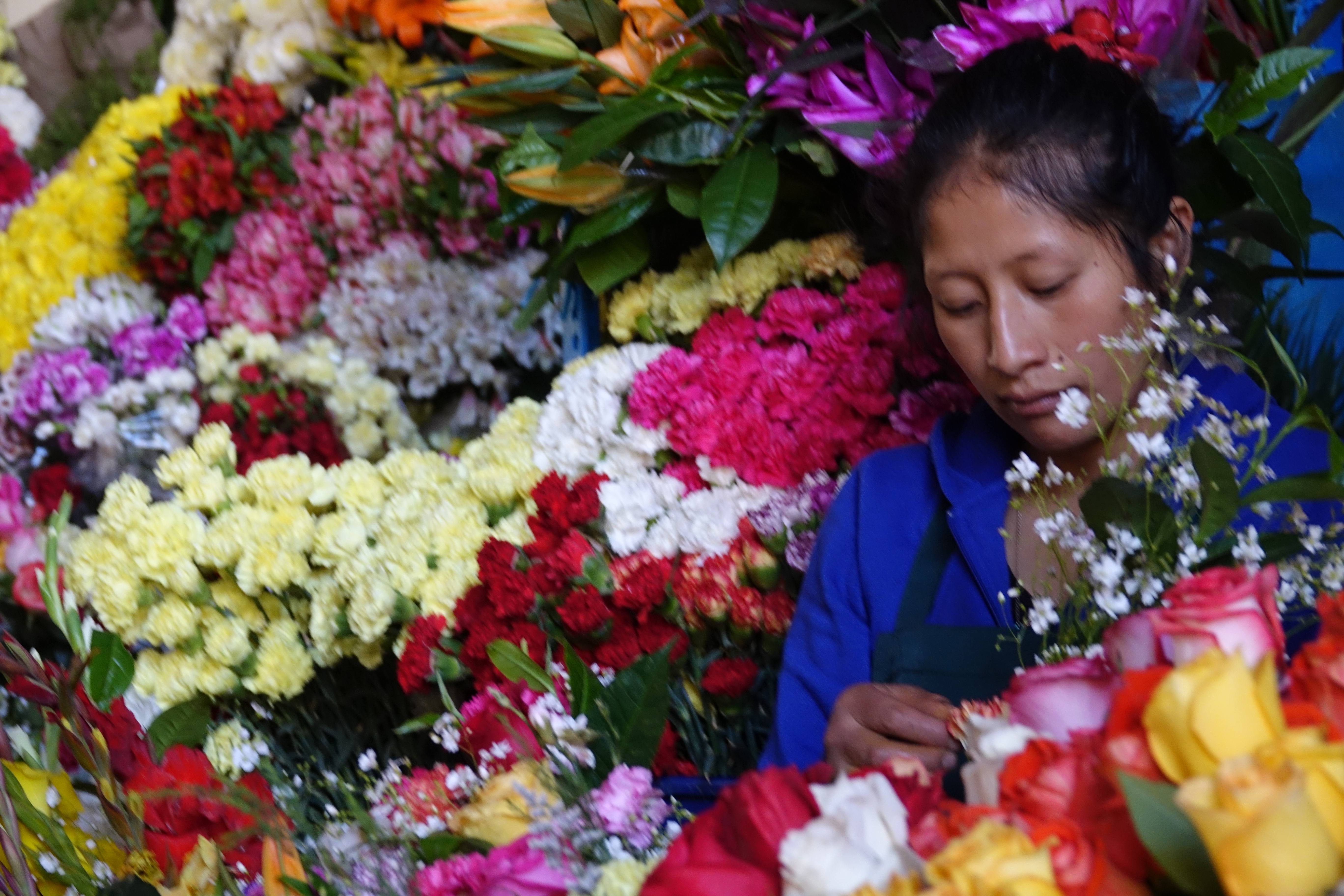
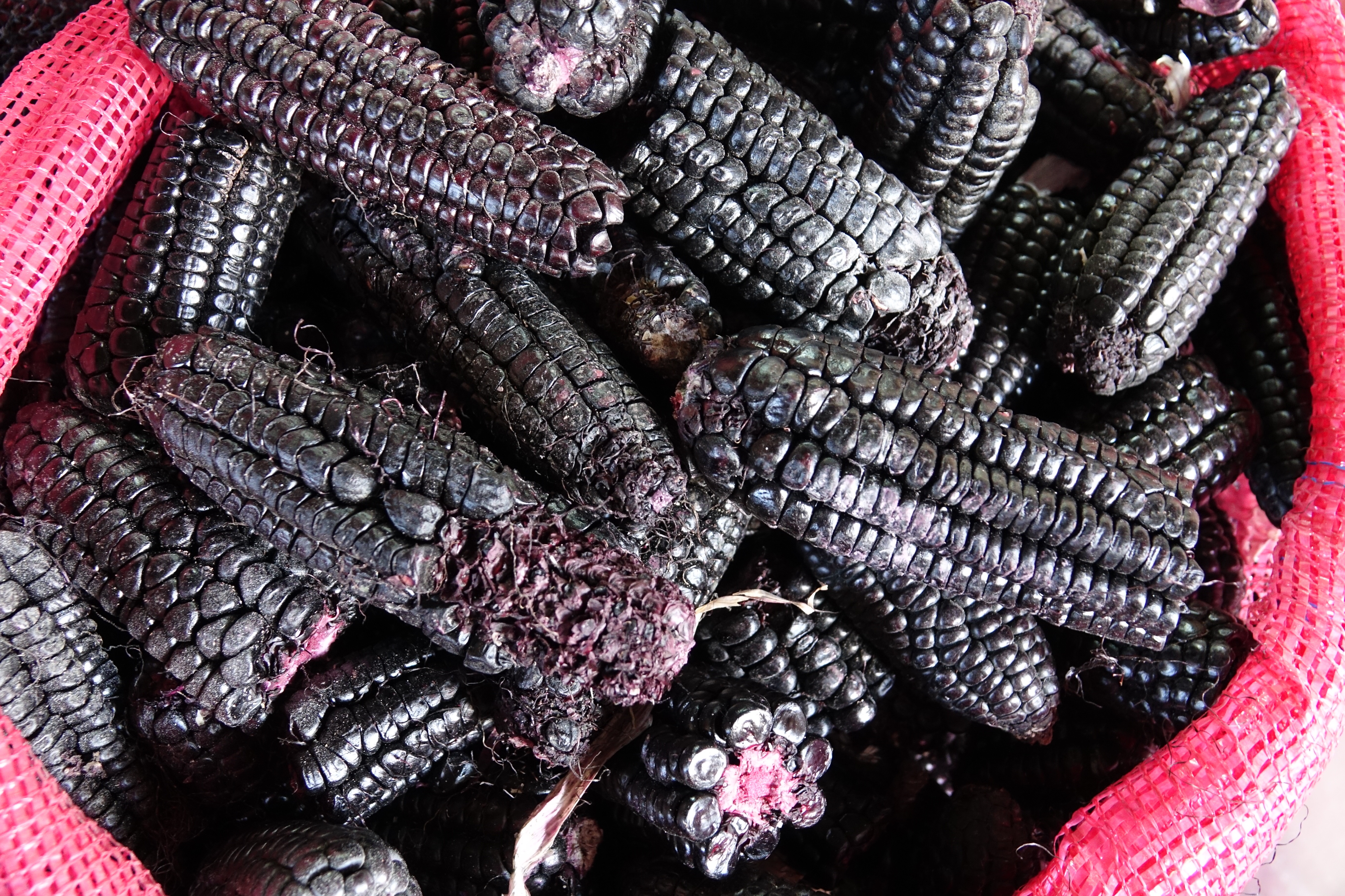
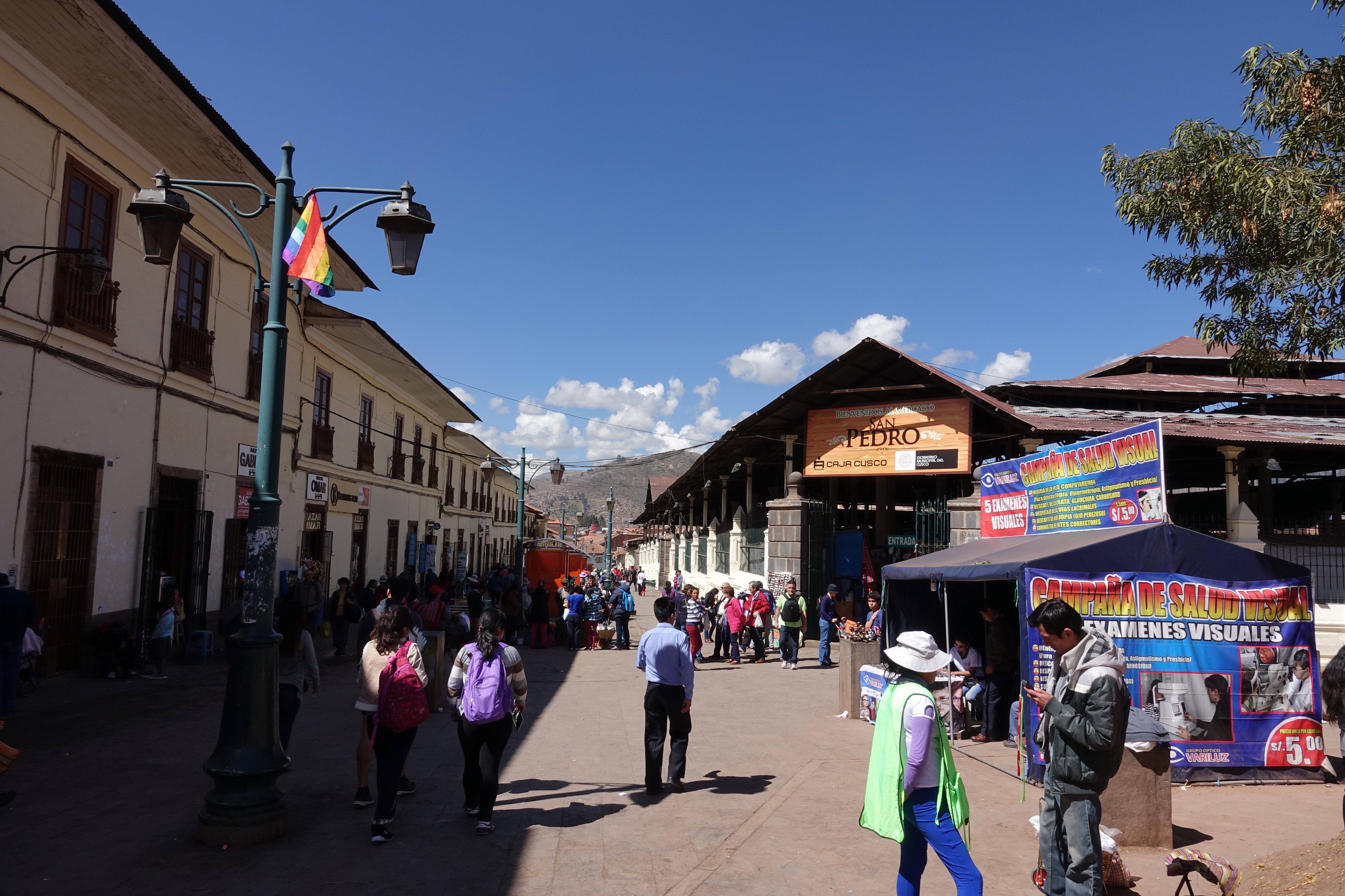
